Difference between revisions of "2014-01-11 51 9"
From Geohashing
imported>GeorgDerReisende (new expedition) |
imported>GeorgDerReisende (expedition report to Höxter) |
||
| Line 1: | Line 1: | ||
| − | |||
| − | |||
| − | |||
| − | |||
| − | |||
| − | |||
| − | |||
| − | |||
| − | |||
| − | |||
{{meetup graticule | {{meetup graticule | ||
| lat=51 | | lat=51 | ||
| Line 18: | Line 8: | ||
__NOTOC__ | __NOTOC__ | ||
== Location == | == Location == | ||
| − | + | ||
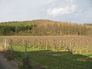
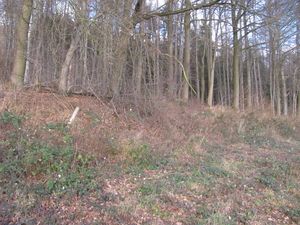
| + | The hash lies at an edge of a forest above Höxter. | ||
== Participants == | == Participants == | ||
| − | + | ||
| − | + | [[User:GeorgDerReisende|GeorgDerReisende]] | |
== Plans == | == Plans == | ||
| − | + | ||
| + | I wanted to hitchhike to Höxter, for doing some special things, and returning home. Due to the early darkness I didn't want a xkcd-meetup, because with a later return it seemed to me, that I could nor reach Kassel in time. | ||
== Expedition == | == Expedition == | ||
| − | |||
| − | |||
| − | |||
| − | |||
| − | == | + | {| |
| − | + | |- | |
| − | Image: | + | ! style="width:300px" | !! style="width:300px" | !! style="width:300px" | |
| − | -- | + | |- |
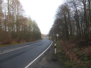
| − | + | | [[Image:2014-01-11 51 9 GeorgDerReisende 5039.jpg|300px]] || || I left home at 10:20, took the tram 3 and the bus 100 to Espenau-Schäferberg. From there I started to hitchhike. After 15 minutes I got a lift direct to Bad Karlshafen. | |
| − | + | |- | |
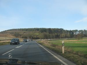
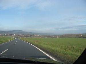
| + | | [[Image:2014-01-11 51 9 GeorgDerReisende 5041.jpg|300px]] || [[Image:2014-01-11 51 9 GeorgDerReisende 5050.jpg|300px]] || Some views of the national road B83. | ||
| + | |- | ||
| + | | [[Image:2014-01-11 51 9 GeorgDerReisende 5068.jpg|300px]] || || I arrived at 13:10 at Höxter. Ten minutes later I was 860 meters away from the hash. | ||
| + | |- | ||
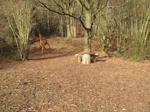
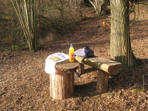
| + | | [[Image:2014-01-11 51 9 GeorgDerReisende 5081.jpg|300px]] || [[Image:2014-01-11 51 9 GeorgDerReisende 5083.jpg|300px]] || While coming nearer to the hash I notice a picnic site and I wondered, how far the hash would be from this site. At least it was 44 meters away. | ||
| + | |- | ||
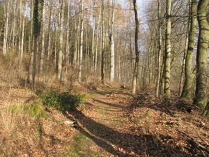
| + | | [[Image:2014-01-11 51 9 GeorgDerReisende 5085.jpg|300px]] || [[Image:2014-01-11 51 9 GeorgDerReisende 5086.jpg|300px]] || At first I thought the hash seemed up in the forest. I followed a hiking path, but I could arrive only to nine meters. | ||
| + | |- | ||
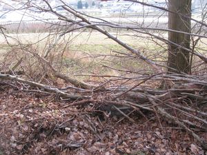
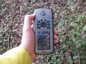
| + | | [[Image:2014-01-11 51 9 GeorgDerReisende 5111.jpg|300px]] || [[Image:2014-01-11 51 9 GeorgDerReisende 5091.jpg|300px]] || So I walked back, around the place, across the meadows and I arrived at the hash. | ||
| + | |- | ||
| + | | [[Image:2014-01-11 51 9 GeorgDerReisende 5114.jpg|300px]] || || Afterwards I walked back to the picnic site and took a small meal. | ||
| + | |- | ||
| + | | [[Image:2014-01-11 51 9 GeorgDerReisende 5136.jpg|300px]] || [[Image:2014-01-11 51 9 GeorgDerReisende 5135.jpg|300px]] || [[Image:2014-01-11 51 9 GeorgDerReisende 5140.jpg|300px]] | ||
| + | |- | ||
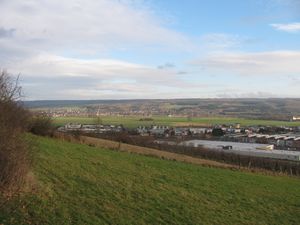
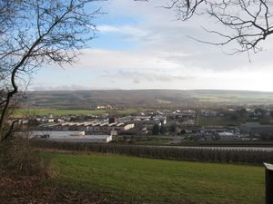
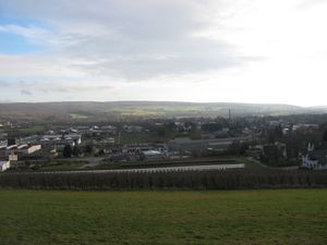
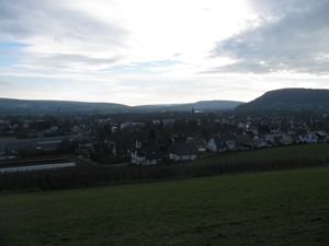
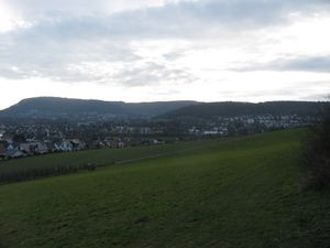
| + | | [[Image:2014-01-11 51 9 GeorgDerReisende 5131.jpg|300px]] || [[Image:2014-01-11 51 9 GeorgDerReisende 5133.jpg|300px]] || View from the picnic site to Höxter. | ||
| + | |- | ||
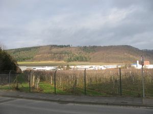
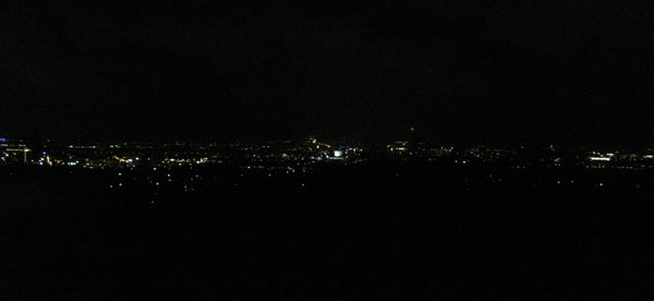
| + | | colspan = 2 | [[Image:2014-01-11 51 9 GeorgDerReisende 5174.jpg|600px]] || Just at the moment when I started to return, it began to rain. So I didn't care of the target of the first car and I arrived at a wrong place. So I needed to the hash 3 1/2 hours and for the way home I needed 6 hours. I arrived at a parking site of the motorway with this view to Kassel. | ||
| + | |} | ||
== Achievements == | == Achievements == | ||
| Line 44: | Line 50: | ||
<!-- Add any achievement ribbons you earned below, or remove this section --> | <!-- Add any achievement ribbons you earned below, or remove this section --> | ||
| + | {{Thumbs Up | latitude = 50 | longitude = 9 | date = 2014-01-11 | name = GeorgDerReisende }} | ||
| − | + | [[Category:Expeditions]] | |
| − | |||
| − | [[Category: | ||
| − | + | [[Category:Expeditions with photos]] | |
| − | |||
| − | [[Category: | ||
| − | |||
| − | |||
| − | |||
| − | |||
| − | |||
| − | |||
| − | |||
| − | |||
| − | |||
| − | |||
[[Category:Coordinates reached]] | [[Category:Coordinates reached]] | ||
| − | |||
| − | |||
| − | |||
| − | |||
| − | |||
| − | |||
| − | |||
| − | |||
| − | |||
| − | |||
| − | |||
| − | |||
| − | |||
| − | |||
| − | |||
| − | |||
| − | |||
| − | |||
Revision as of 22:18, 11 January 2014
| Sat 11 Jan 2014 in 51,9: 51.7893381, 9.3854572 geohashing.info google osm bing/os kml crox |
Location
The hash lies at an edge of a forest above Höxter.
Participants
Plans
I wanted to hitchhike to Höxter, for doing some special things, and returning home. Due to the early darkness I didn't want a xkcd-meetup, because with a later return it seemed to me, that I could nor reach Kassel in time.
Expedition
Achievements
GeorgDerReisende earned the Thumbs Up Geohash Achievement
|
