Difference between revisions of "2014-03-07 51 9"
From Geohashing
imported>GeorgDerReisende (new expedition) |
imported>FippeBot m (Location) |
||
| (One intermediate revision by one other user not shown) | |||
| Line 1: | Line 1: | ||
| − | |||
| − | |||
| − | |||
| − | |||
| − | |||
| − | |||
| − | |||
| − | |||
| − | |||
| − | |||
{{meetup graticule | {{meetup graticule | ||
| lat=51 | | lat=51 | ||
| Line 18: | Line 8: | ||
__NOTOC__ | __NOTOC__ | ||
== Location == | == Location == | ||
| − | + | ||
| + | The hash lies on a hill in a forest southeast of Spangenberg. | ||
== Participants == | == Participants == | ||
| − | + | ||
| − | + | [[User:GeorgDerReisende|GeorgDerReisende]] | |
== Plans == | == Plans == | ||
| − | + | ||
| + | The plan was to hitchhike to the hash, do some secret activity, and travel home. | ||
== Expedition == | == Expedition == | ||
| − | |||
| − | |||
| − | |||
| − | |||
| − | == | + | {| |
| − | + | |- | |
| − | Image: | + | ! style="width:300px" | !! style="width:300px" | !! style="width:300px" | |
| − | -- | + | |- |
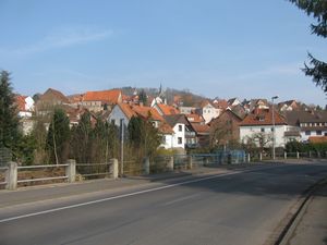
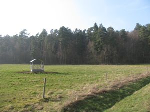
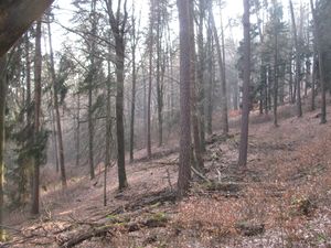
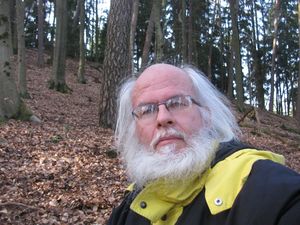
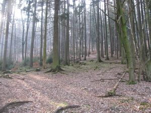
| − | < | + | | [[Image:2014-03-07 51 9 GeorgDerReisende 6582.jpg|300px]] || [[Image:2014-03-07 51 9 GeorgDerReisende 6586.jpg|300px]] || I started at home at 12 o'clock, took the trams 7 and 8 to Kaufungen-Papierfabrik (paper plant) and started there to hitchhike at 12:45. After some minutes I got a car to Hess. Lichtenau, I passed there the city, then after some minutes again I got a car to Spangenberg, where I arrived at 13:45. Then I walked for three kilometers along the country roads and after crossing a meadow I entered the forest. |
| − | < | + | |- |
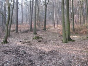
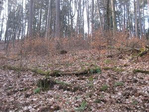
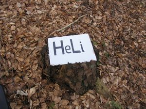
| + | | [[Image:2014-03-07 51 9 GeorgDerReisende 6587.jpg|300px]] || [[Image:2014-03-07 51 9 GeorgDerReisende 6592.jpg|300px]] || Just at that place I was 140 meters away from the hash. At first I could walk easily upwards, but then I slided some 20 meters on my knees, because the hill was so steep. | ||
| + | |- | ||
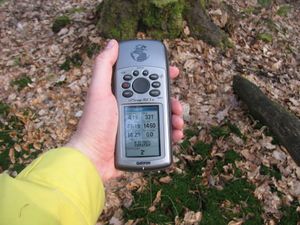
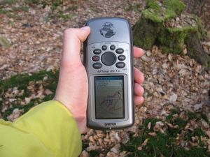
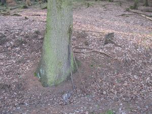
| + | | [[Image:2014-03-07 51 9 GeorgDerReisende 6600.jpg|300px]] || [[Image:2014-03-07 51 9 GeorgDerReisende 6602.jpg|300px]] || proof 1 and proof 2. I needed not to dance around, instead the pointer of my garmin danced around, sometimes being meters away, sometimes only two meters away. I couldn't get a mark nearer than these two meters. | ||
| + | |- | ||
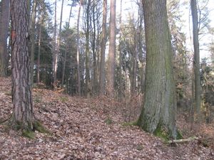
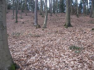
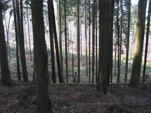
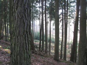
| + | | [[Image:2014-03-07 51 9 GeorgDerReisende 6604.jpg|300px]] view to the north || [[Image:2014-03-07 51 9 GeorgDerReisende 6607.jpg|300px]] view to the west (uphill) || [[Image:2014-03-07 51 9 GeorgDerReisende 6606.jpg|300px]] view to the south | ||
| + | |- | ||
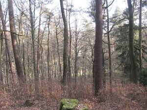
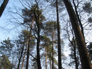
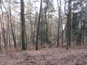
| + | | [[Image:2014-03-07 51 9 GeorgDerReisende 6605.jpg|300px]] || [[Image:2014-03-07 51 9 GeorgDerReisende 6611.jpg|300px]] || view to the east, the stub in the front seems to be the hash.<br><br>top of the trees in the forest (I always see the trunks of the trees) | ||
| + | |- | ||
| + | | [[Image:2014-03-07 51 9 GeorgDerReisende 6608.jpg|300px]] the site of the hash from some meters away || [[Image:2014-03-07 51 9 GeorgDerReisende 6609.jpg|300px]] after visiting the hash I used a stub of a tree as a seat to take a small meal || [[Image:2014-03-07 51 9 GeorgDerReisende 6612.jpg|300px]] a geohasher on a hill | ||
| + | |- | ||
| + | | [[Image:2014-03-07 51 9 GeorgDerReisende 6614.jpg|300px]] || [[Image:2014-03-07 51 9 GeorgDerReisende 6615.jpg|300px]] || After the meal I started to go home. While the meal I heard raptors from the other side of the mountain ridge. So I tried at first to walk across the ridge, but I found out that there was a deep valley and I could not enter the valley from my side. But I could see the raptors, making something like haymaking but with big trees. | ||
| + | |- | ||
| + | | [[Image:2014-03-07 51 9 GeorgDerReisende 6618.jpg|300px]] || [[Image:2014-03-07 51 9 GeorgDerReisende 6620.jpg|300px]] || With the help of these two sticks I stalked down the hill. For the way up I needed 15 minutes, for the way down I needed 30 minutes. | ||
| + | |- | ||
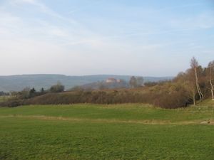
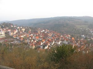
| + | | [[Image:2014-03-07 51 9 GeorgDerReisende 6646.jpg|300px]] || || After a long walk around the hill and through the forest I entered the fields of Spangenberg and from the first place I had a good view to the castle of Spangenberg. | ||
| + | |- | ||
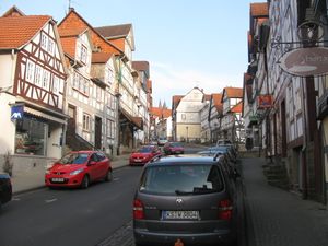
| + | | [[Image:2014-03-07 51 9 GeorgDerReisende 6657.jpg|300px]] || [[Image:2014-03-07 51 9 GeorgDerReisende 6680.jpg|300px]] || Views of Spangenberg, the main street and from the castle | ||
| + | |} | ||
== Achievements == | == Achievements == | ||
| Line 44: | Line 50: | ||
<!-- Add any achievement ribbons you earned below, or remove this section --> | <!-- Add any achievement ribbons you earned below, or remove this section --> | ||
| + | {{Thumbs Up | latitude = 51 | longitude = 9 | date = 2014-03-07 | name = GeorgDerReisende }} | ||
| − | + | [[Category:Expeditions]] | |
| − | |||
| − | [[Category: | ||
| − | + | [[Category:Expeditions with photos]] | |
| − | |||
| − | |||
| − | |||
| − | [[Category: | ||
| − | |||
| − | |||
| − | |||
| − | |||
| − | |||
| − | |||
| − | |||
| − | |||
| − | |||
| − | |||
[[Category:Coordinates reached]] | [[Category:Coordinates reached]] | ||
| − | + | {{location|DE|HE|HR}} | |
| − | |||
| − | |||
| − | |||
| − | |||
| − | |||
| − | |||
| − | |||
| − | |||
| − | |||
| − | |||
| − | |||
| − | |||
| − | |||
| − | |||
| − | |||
| − | |||
| − | |||
Latest revision as of 05:48, 14 August 2019
| Fri 7 Mar 2014 in 51,9: 51.1083237, 9.6936191 geohashing.info google osm bing/os kml crox |
Location
The hash lies on a hill in a forest southeast of Spangenberg.
Participants
Plans
The plan was to hitchhike to the hash, do some secret activity, and travel home.
Expedition
Achievements
GeorgDerReisende earned the Thumbs Up Geohash Achievement
|
