Difference between revisions of "2014-04-18 51 9"
From Geohashing
imported>GeorgDerReisende (new expedition to Bad Emstal-Balhorn) |
imported>GeorgDerReisende (expedition report added) |
||
| Line 20: | Line 20: | ||
== Expedition == | == Expedition == | ||
| − | |||
| − | == | + | {| |
| − | + | |- | |
| − | + | ! style="width:300px" | !! style="width:300px" | !! style="width:300px" | | |
| − | + | |- | |
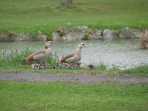
| − | + | | [[Image:2014-04-18 51 9 GeorgDerReisende 8672.jpg|300px]] || || I left home at 12:15, took the trams 7 and 1 and the bus 53 to Martinhagen. From there I walked around the village and there I saw these geese. | |
| − | Image: | + | |- |
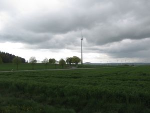
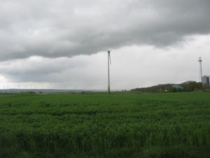
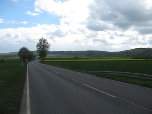
| − | -- | + | | [[Image:2014-04-18 51 9 GeorgDerReisende 8705.jpg|300px]] || [[Image:2014-04-18 51 9 GeorgDerReisende 8704.jpg|300px]] || Then I found the road to Balhorn, but just looking around I noticed, that a big rain cloud found the road too. |
| − | + | |- | |
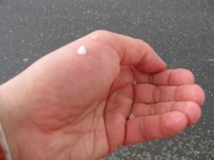
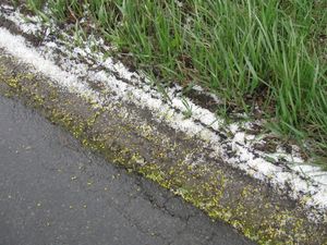
| − | + | | [[Image:2014-04-18 51 9 GeorgDerReisende 8708.jpg|300px]] || [[Image:2014-04-18 51 9 GeorgDerReisende 8709.jpg|300px]] || And it was not only rain, there was a lot of hail coming down. While this I leant with my back at a tree to have a shield. | |
| + | |- | ||
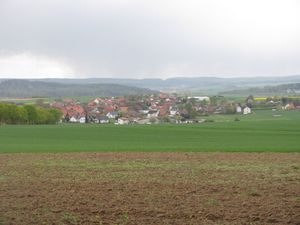
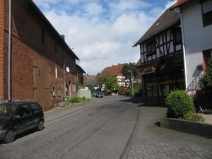
| + | | [[Image:2014-04-18 51 9 GeorgDerReisende 8713.jpg|300px]] || [[Image:2014-04-18 51 9 GeorgDerReisende 8734.jpg|300px]] || But at last I could walk further and reached Balhorn. | ||
| + | |- | ||
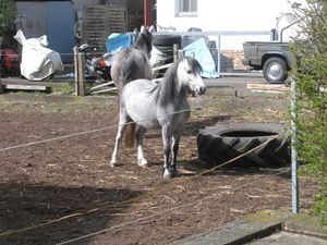
| + | | [[Image:2014-04-18 51 9 GeorgDerReisende 8737.jpg|300px]] || || In the village of Balhorn I saw these horses. | ||
| + | |- | ||
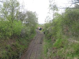
| + | | [[Image:2014-04-18 51 9 GeorgDerReisende 8749.jpg|300px]] || [[Image:2014-04-18 51 9 GeorgDerReisende 8751.jpg|300px]] || Then I crossed the track of the Kassel-Naumburger-Eisenbahn near its station and entered the fields, where the hash lied. | ||
| + | |- | ||
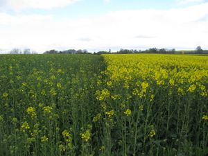
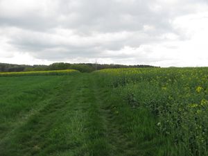
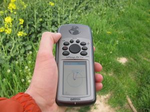
| + | | [[Image:2014-04-18 51 9 GeorgDerReisende 8755.jpg|300px]] || [[Image:2014-04-18 51 9 GeorgDerReisende 8757.jpg|300px]] || Arriving at the location, I found out, that the fence was gone and there were only two fields with rape in different age. I walked along the border between the fields, to get closer to the hash. | ||
| + | |- | ||
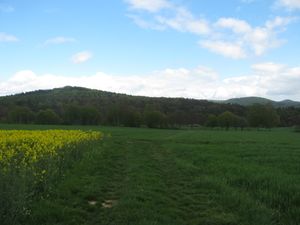
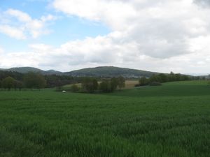
| + | | [[Image:2014-04-18 51 9 GeorgDerReisende 8759.jpg|300px]] || [[Image:2014-04-18 51 9 GeorgDerReisende 8760.jpg|300px]] || Look around: view to the east and to the southeast, to the village Sand, which is the main village of the community of Bad Emstal. | ||
| + | |- | ||
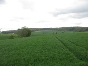
| + | | [[Image:2014-04-18 51 9 GeorgDerReisende 8761.jpg|300px]] || [[Image:2014-04-18 51 9 GeorgDerReisende 8763.jpg|300px]] || Look around: view to the south and to the west. The look to the north only shows both fields (see above). | ||
| + | |- | ||
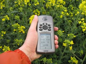
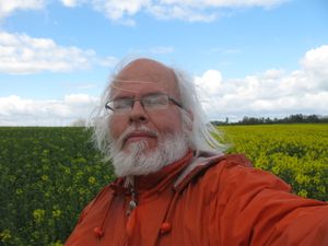
| + | | [[Image:2014-04-18 51 9 GeorgDerReisende 8766.jpg|300px]] || [[Image:2014-04-18 51 9 GeorgDerReisende 8765.jpg|300px]] || Only a small dance today. Only one geohasher here. | ||
| + | |} | ||
== Achievements == | == Achievements == | ||
| Line 36: | Line 50: | ||
<!-- Add any achievement ribbons you earned below, or remove this section --> | <!-- Add any achievement ribbons you earned below, or remove this section --> | ||
| + | Land. | ||
| − | + | [[Category:Expeditions]] | |
| − | |||
| − | [[Category: | ||
| − | + | [[Category:Expeditions with photos]] | |
| − | |||
| − | |||
| − | |||
| − | |||
| − | |||
| − | |||
| − | |||
| − | |||
| − | |||
| − | |||
| − | |||
| − | |||
| − | |||
| − | |||
[[Category:Coordinates reached]] | [[Category:Coordinates reached]] | ||
| − | |||
| − | |||
| − | |||
| − | |||
| − | |||
| − | |||
| − | |||
| − | |||
| − | |||
| − | |||
| − | |||
| − | |||
| − | |||
| − | |||
| − | |||
| − | |||
| − | |||
| − | |||
Revision as of 17:29, 18 April 2014
| Fri 18 Apr 2014 in 51,9: 51.2560337, 9.2340552 geohashing.info google osm bing/os kml crox |
Location
The hash lies on a field near Balhorn
Participants
Plans
I want to go there by tram and bus to Martinhagen and to walk from there to the hash.
Expedition
Achievements
Land.
