Difference between revisions of "2014-04-19 50 10"
imported>Reinhard (Expedition Manu and Reinhard) |
imported>Reinhard m |
||
| Line 26: | Line 26: | ||
| − | == Photos Manu | + | == Photos Manu and Reinhard == |
{{gallery|width=200|height=200|lines=2 | {{gallery|width=200|height=200|lines=2 | ||
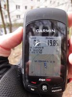
|Image:20140419-50N10E-01.jpg|Coordinates reached. | |Image:20140419-50N10E-01.jpg|Coordinates reached. | ||
| Line 35: | Line 35: | ||
== Tracklog == | == Tracklog == | ||
<!-- if your GPS device keeps a log, you may post a link here --> | <!-- if your GPS device keeps a log, you may post a link here --> | ||
| − | |||
| − | |||
| − | |||
| − | |||
| − | |||
| − | |||
| − | |||
Revision as of 22:23, 19 April 2014
| Sat 19 Apr 2014 in 50,10: 50.6125737, 10.7139176 geohashing.info google osm bing/os kml crox |
Location
The hash lies in Suhl, near Ilmenauer Straße and Am Himmelreich
Participants
Plans
I (GeorgDerReisende) want hitchhike to Suhl and walk to the hash. This can become a xkcd meetup.
Expedition: Manu and Reinhard
We didn't expect anyone else at this hash and even didn't lookup the planned expeditions.
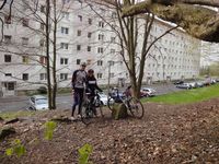
Our plan was simple: We were staying in Schleusingerneundorf and wanted to cycle a bit. The shortest roundtrip on roads to the west of Schleusingerneundorf is 39 km long and does not only lead through this hashpoint we've been to two years ago, but also passes today's point by only 40 m. So we made the trip, starting with tailwind towards Schleusingen and continuing with strong headwind to Suhl, where we had a short rest for reaching the coordinates shortly after 16:15. From there we went on to Ringberg and rushed back down to Schleusingerneundorf with fair tailwind again.
Photos Manu and Reinhard
|

