Difference between revisions of "2014-05-02 51 9"
From Geohashing
imported>GeorgDerReisende m (typo) |
imported>FippeBot m (Location) |
||
| Line 58: | Line 58: | ||
[[Category:Coordinates reached]] | [[Category:Coordinates reached]] | ||
| + | {{location|DE|HE|KS}} | ||
Latest revision as of 06:25, 14 August 2019
| Fri 2 May 2014 in 51,9: 51.2396901, 9.6084926 geohashing.info google osm bing/os kml crox |
Location
The hash lies in the forest of the village Söhrewald.
Participants
Plans
I wanted to make a hiking tour through this forest, starting at Kaufungen and ending at Vollmarshausen.
Expedition
 |
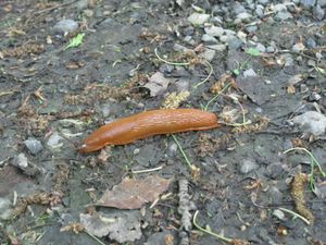 |
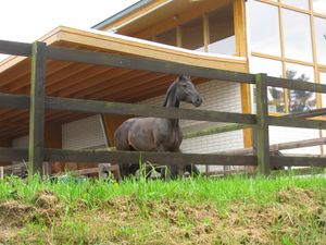
I started to walk at the tram station Niederkaufungen, for the next hour I walked only uphill. During my walk I saw these animals: a horse and a snail. |
 |
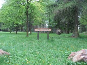 |
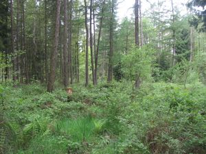
Google maps show a way here, but I found only mud and bushes. Between the trees I saw something like a sign, but I couldn't get through. I lost 15 minutes to find a way around, but I found the sign and it was at a place, which I had to pass. |
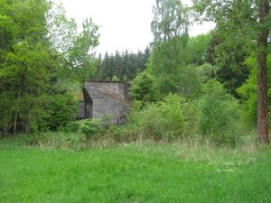 |
I passed an old motorway bridge, but the motorway had never been built. | |
 |
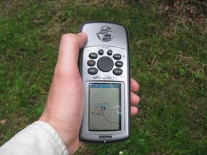 |
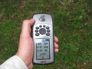
The hash lay on the forest way, but I needed a short dance to find the point. |
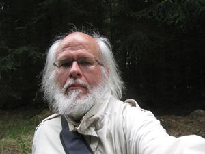 |
the geohasher | |
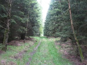 |
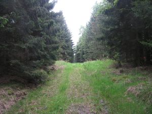 |
view to the north and to the south |
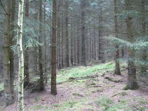 |
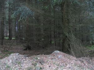 |
view to the east and to the west |
 |
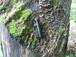 |
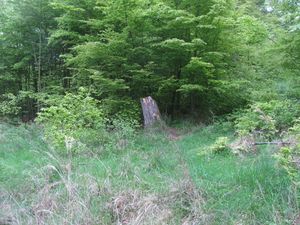
While walking in the forest I saw another hiker, doing some suspicious deeds with his smartphone. Sometimes he was in the back of me, sometimes in the front. At this place I met him, looked at him, while he did his strange act. Afterwards I asked him, what he was doing. And he told me, he is a geocacher, and this place would be a geocache. |
 |
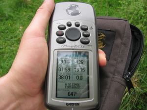 |
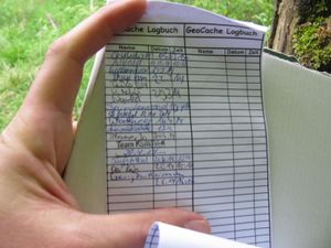
So I explored the site and found my first geocache. This is geocache GC3J4A9. Thanks to Der Kaju. |
Tracklog
Achievements
GeorgDerReisende earned the Hash collision honorable mention
|