Difference between revisions of "2014-06-02 51 9"
From Geohashing
imported>GeorgDerReisende (new expedition) |
imported>FippeBot m (Location) |
||
| (8 intermediate revisions by 2 users not shown) | |||
| Line 1: | Line 1: | ||
| − | |||
| − | |||
| − | |||
| − | |||
| − | |||
| − | |||
| − | |||
| − | |||
| − | |||
| − | |||
{{meetup graticule | {{meetup graticule | ||
| lat=51 | | lat=51 | ||
| Line 18: | Line 8: | ||
__NOTOC__ | __NOTOC__ | ||
== Location == | == Location == | ||
| − | + | ||
| + | The hash lay beside the street at the northern edge of the valley of the river Weser at Bad Karlshafen. | ||
== Participants == | == Participants == | ||
| − | + | ||
| − | + | [[User:GeorgDerReisende|GeorgDerReisende]] | |
== Plans == | == Plans == | ||
| − | + | ||
| + | I wanted to hitchhike. | ||
== Expedition == | == Expedition == | ||
| − | |||
| − | |||
| − | |||
| − | |||
| − | == | + | {| |
| − | + | |- | |
| − | Image: | + | ! style="width:300px" | !! style="width:300px" | !! style="width:300px" | |
| − | -- | + | |- |
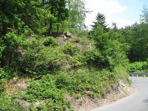
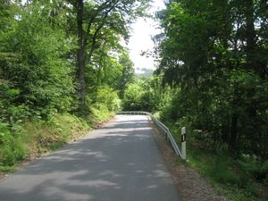
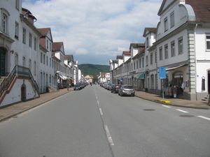
| − | + | | [[Image:2014-06-02 51 9 GeorgDerReisende 1477.jpg|300px]] || [[Image:2014-06-02 51 9 GeorgDerReisende 1484.jpg|300px]] || I started at Kassel with the bus 100 to Espenau-Schäferberg, then I walked to the beginning of the national road B83. From there I hitchhiked to Bad Karlshafen, I needed six cars. Then I walked up the hill. Then I found me near the hash and I thought the hash lies more up the hill. But while I was searching for an access to the hill I found out, that the hash lay at the northern edge of the street. | |
| − | + | |- | |
| + | | [[Image:2014-06-02 51 9 GeorgDerReisende 1485.jpg|300px]] || [[Image:2014-06-02 51 9 GeorgDerReisende 1486.jpg|300px]] || View from the hash to Hessen. View from Hessen to Niedersachsen. | ||
| + | |- | ||
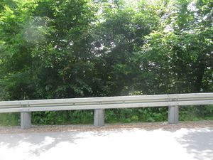
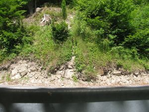
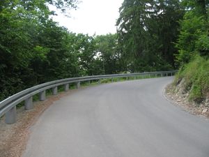
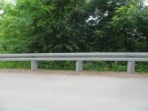
| + | | [[Image:2014-06-02 51 9 GeorgDerReisende 1479.jpg|300px]] || [[Image:2014-06-02 51 9 GeorgDerReisende 1490.jpg|300px]] || View downhill to the turn where the hash lay and a view uphill through the turn. | ||
| + | |- | ||
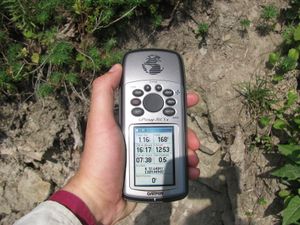
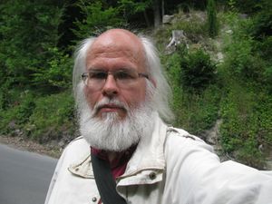
| + | | [[Image:2014-06-02 51 9 GeorgDerReisende 1487.jpg|300px]] || [[Image:2014-06-02 51 9 GeorgDerReisende 1491.jpg|300px]] || The hashmark and the geohasher. | ||
| + | |- | ||
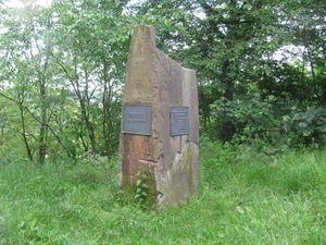
| + | | [[Image:2014-06-02 51 9 GeorgDerReisende 1496.jpg|300px]] || || After finding the hash I walked the street further up and found a stone which marks the meeting of the three Bundesländer Hessen, Niedersachsen and Nordrhein-Westfalen. | ||
| + | |- | ||
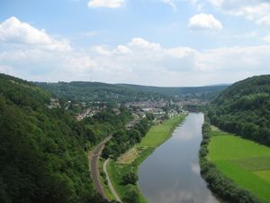
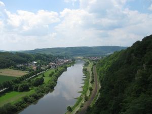
| + | | [[Image:2014-06-02 51 9 GeorgDerReisende 1504.jpg|300px]] || [[Image:2014-06-02 51 9 GeorgDerReisende 1503.jpg|300px]] || Then I walked the street further and found a scenic view to the river Weser. The view to the left was to Bad Karlshafen and the river Weser upward. The view to the right was to Herstelle and the river Weser downward. | ||
| + | |- | ||
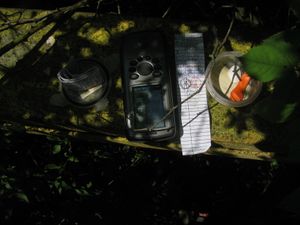
| + | | [[Image:2014-06-02 51 9 GeorgDerReisende 1530.jpg|300px]] || || On the way back to the city I found again a geocache. | ||
| + | |- | ||
| + | | [[Image:2014-06-02 51 9 GeorgDerReisende 1569.jpg|300px]] || || The main street of Bad Karlshafen. | ||
| + | |} | ||
== Achievements == | == Achievements == | ||
| Line 44: | Line 46: | ||
<!-- Add any achievement ribbons you earned below, or remove this section --> | <!-- Add any achievement ribbons you earned below, or remove this section --> | ||
| + | {{Thumbs Up | latitude = 51 | longitude = 9 | date = 2014-06-02 | name = GeorgDerReisende }} | ||
| − | + | {{Hash collision | latitude = 51 | longitude = 9 | date = 2014-06-02 | name = GeorgDerReisende | link = http://coord.info/GCWH77 | id = GCWH77 | distance = 0.73 km | honor = yes }} | |
| − | |||
| − | |||
| − | + | {{Hashcard | latitude = 51 | longitude = 9 | date = 2014-06-02 | recipient = [[User:Isopekka|Isopekka]] | name = GeorgDerReisende | }} | |
| − | + | {{Last man standing | latitude = 51 | longitude = 9 | date = 2014-06-02 | name = GeorgDerReisende }} | |
| − | |||
| − | |||
| − | |||
| − | |||
[[Category:Expeditions]] | [[Category:Expeditions]] | ||
| − | + | ||
[[Category:Expeditions with photos]] | [[Category:Expeditions with photos]] | ||
| − | + | ||
| − | |||
| − | |||
| − | |||
| − | |||
[[Category:Coordinates reached]] | [[Category:Coordinates reached]] | ||
| − | + | {{location|DE|NI|NOM}} | |
| − | |||
| − | |||
| − | |||
| − | |||
| − | |||
| − | |||
| − | |||
| − | |||
| − | |||
| − | |||
| − | |||
| − | |||
| − | |||
| − | |||
| − | |||
| − | |||
| − | |||
Latest revision as of 10:42, 6 August 2019
| Mon 2 Jun 2014 in 51,9: 51.6484178, 9.4494528 geohashing.info google osm bing/os kml crox |
Location
The hash lay beside the street at the northern edge of the valley of the river Weser at Bad Karlshafen.
Participants
Plans
I wanted to hitchhike.
Expedition
Achievements
GeorgDerReisende earned the Thumbs Up Geohash Achievement
|
GeorgDerReisende earned the Hash collision honorable mention
|
GeorgDerReisende earned the Hashcard achievement
|
GeorgDerReisende earned the Last man standing achievement
|
