Difference between revisions of "2014-08-15 51 9"
From Geohashing
imported>GeorgDerReisende (new expedition) |
imported>GeorgDerReisende (new expedition to Einbeck-Kuventhal) |
||
| Line 1: | Line 1: | ||
| − | |||
| − | |||
| − | |||
| − | |||
| − | |||
| − | |||
| − | |||
| − | |||
| − | |||
| − | |||
{{meetup graticule | {{meetup graticule | ||
| lat=51 | | lat=51 | ||
| Line 18: | Line 8: | ||
__NOTOC__ | __NOTOC__ | ||
== Location == | == Location == | ||
| − | + | ||
| + | The hash was on a meadow near Kuventhal. | ||
== Participants == | == Participants == | ||
| − | + | ||
| − | + | [[User:GeorgDerReisende|GeorgDerReisende]] | |
== Plans == | == Plans == | ||
| − | + | ||
| + | Hitchhiking and walking. | ||
== Expedition == | == Expedition == | ||
| − | |||
| − | == | + | {| |
| − | + | |- | |
| + | ! style="width:300px" | !! style="width:300px" | !! style="width:300px" | | ||
| + | |- | ||
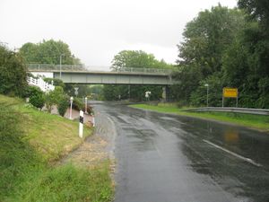
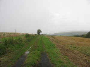
| + | | [[Image:2014-08-15 51 9 GeorgDerReisende 4459.jpg|300px]] || || I left home at 9:45 and started to hitchhike at 10:00. I had to wait nearly one hour and with five cars I arrived at Kuventhal at 13:45. At the time of arriving there was a big rain, it was the second one today. | ||
| + | |- | ||
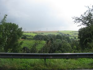
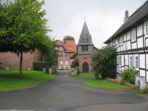
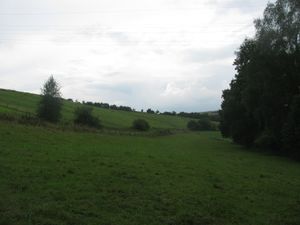
| + | | [[Image:2014-08-15 51 9 GeorgDerReisende 4463.jpg|300px]] || [[Image:2014-08-15 51 9 GeorgDerReisende 4477.jpg|300px]] || I wanted to walk around the village of Kuventhal, because I searched a geocache, but I didn't find it. On this road I had a first view to the area of the hash. And I passed through the village Andershausen. | ||
| + | |- | ||
| + | | [[Image:2014-08-15 51 9 GeorgDerReisende 4479.jpg|300px]] || [[Image:2014-08-15 51 9 GeorgDerReisende 4483.jpg|300px]] || While I walked to the hash another rain cloud approached. And I thought about, if it or I would be the first at the hash. The cloud won. | ||
| + | |- | ||
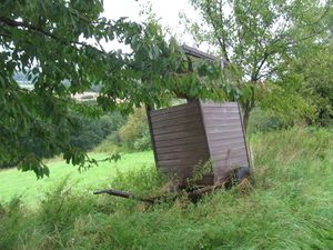
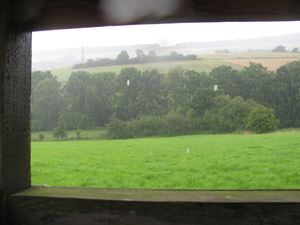
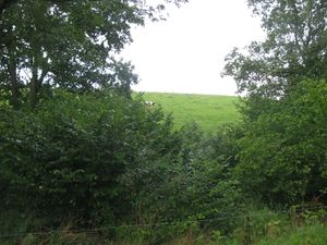
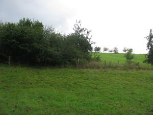
| + | | [[Image:2014-08-15 51 9 GeorgDerReisende 4489.jpg|300px]] || [[Image:2014-08-15 51 9 GeorgDerReisende 4485.jpg|300px]] || But just at the time the raincloud arrived, I found a hunting seat and it was a shelter to me. I had a second view to the hash. But it was 111 meters away behind the hedge. | ||
| + | |- | ||
| + | | [[Image:2014-08-15 51 9 GeorgDerReisende 4488.jpg|300px]] || [[Image:2014-08-15 51 9 GeorgDerReisende 4490.jpg|300px]] || After the rain passed by, I walked along the fence and found an open entrance to the meadow. And walked it down. | ||
| + | |- | ||
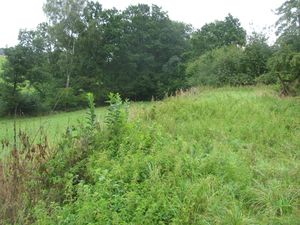
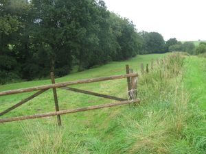
| + | | [[Image:2014-08-15 51 9 GeorgDerReisende 4492.jpg|300px]] || [[Image:2014-08-15 51 9 GeorgDerReisende 4496.jpg|300px]] || I arrived at a field way full of nettles. And the GPS told me, that the hash was more on the other meadow. So I walked to its entrance and found a closed gate there. But beyond the gate was a big hole, where I could crawl through. | ||
| + | |- | ||
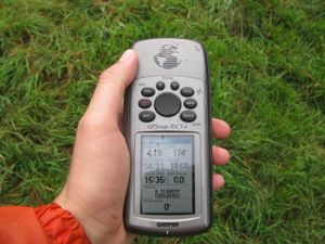
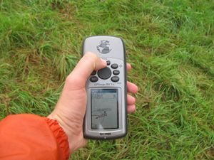
| + | | [[Image:2014-08-15 51 9 GeorgDerReisende 4497.jpg|300px]] || [[Image:2014-08-15 51 9 GeorgDerReisende 4503.jpg|300px]] || Then I went to the hash. It was easy to find. I had no need for a dance. | ||
| + | |- | ||
| + | | [[Image:2014-08-15 51 9 GeorgDerReisende 4498.jpg|300px]] || [[Image:2014-08-15 51 9 GeorgDerReisende 4499.jpg|300px]] || Looking to the west and to the gate. Looking to the north and a cow looking back. | ||
| + | |- | ||
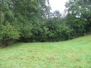
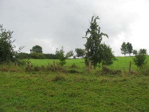
| + | | [[Image:2014-08-15 51 9 GeorgDerReisende 4500.jpg|300px]] || [[Image:2014-08-15 51 9 GeorgDerReisende 4501.jpg|300px]] || Looking to the east to the end of the meadow. Looking to the south and to the hedge. | ||
| + | |- | ||
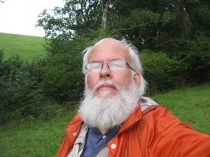
| + | | [[Image:2014-08-15 51 9 GeorgDerReisende 4502.jpg|300px]] || [[Image:2014-08-15 51 9 GeorgDerReisende 4504.jpg|300px]] || Looking to the geohasher. And some steps back a good view uphill to the hunting seat. | ||
| + | |- | ||
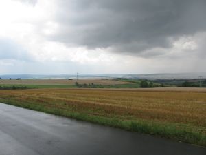
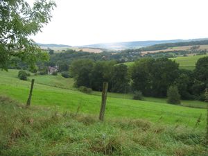
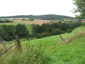
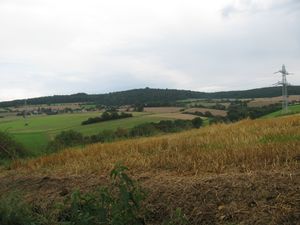
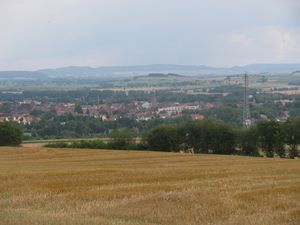
| + | | [[Image:2014-08-15 51 9 GeorgDerReisende 4518.jpg|300px]] || [[Image:2014-08-15 51 9 GeorgDerReisende 4523.jpg|300px]] || After finding the hash I walked to Einbeck. For doing this I had to climb the hill above the hash. There I had another view to the area of the hash. (Andershausen in the back.) And I had a view to the west, with the Solling in the back and another raincloud coming. | ||
| + | |- | ||
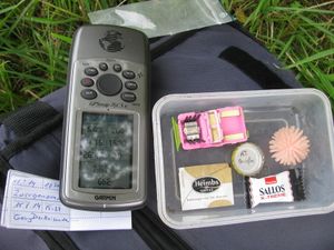
| + | | [[Image:2014-08-15 51 9 GeorgDerReisende 4530.jpg|300px]] || [[Image:2014-08-15 51 9 GeorgDerReisende 4534.jpg|300px]] || Then I found a geocache. The only one I found on this walk. From near the cache I had a good overview to Einbeck. | ||
| + | |- | ||
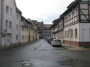
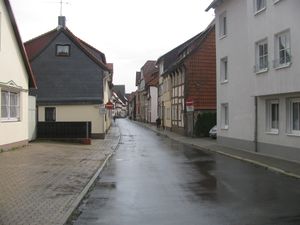
| + | | [[Image:2014-08-15 51 9 GeorgDerReisende 4563.jpg|300px]] || [[Image:2014-08-15 51 9 GeorgDerReisende 4565.jpg|300px]] || Two streets in Einbeck. | ||
| + | |} | ||
| − | + | Then I went to the end of Einbeck, started there to hitchhike at 17:19 and arrived at Kassel at 18:33. | |
| − | |||
| − | |||
| − | |||
| − | |||
| − | |||
== Achievements == | == Achievements == | ||
| Line 44: | Line 58: | ||
<!-- Add any achievement ribbons you earned below, or remove this section --> | <!-- Add any achievement ribbons you earned below, or remove this section --> | ||
| + | {{Thumbs Up | latitude = 51 | longitude = 9 | date = 2014-08-15 | name = GeorgDerReisende }} | ||
| − | + | {{Hash collision | latitude = 51 | longitude = 9 | date = 2014-08-15 | name = GeorgDerReisende | link = http://coord.info/GC2PAGH | id = GC2PAGH | distance = 0.652 km | honor = yes }} | |
| − | |||
| − | |||
| − | + | [[Category:Expeditions]] | |
| − | + | [[Category:Expeditions with photos]] | |
| − | |||
| − | [[Category: | ||
| − | |||
| − | |||
| − | |||
| − | |||
| − | |||
| − | |||
| − | |||
| − | |||
| − | |||
| − | |||
[[Category:Coordinates reached]] | [[Category:Coordinates reached]] | ||
| − | |||
| − | |||
| − | |||
| − | |||
| − | |||
| − | |||
| − | |||
| − | |||
| − | |||
| − | |||
| − | |||
| − | |||
| − | |||
| − | |||
| − | |||
| − | |||
| − | |||
| − | |||
Revision as of 18:55, 15 August 2014
| Fri 15 Aug 2014 in 51,9: 51.8403879, 9.8540322 geohashing.info google osm bing/os kml crox |
Location
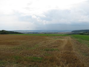
The hash was on a meadow near Kuventhal.
Participants
Plans
Hitchhiking and walking.
Expedition
Then I went to the end of Einbeck, started there to hitchhike at 17:19 and arrived at Kassel at 18:33.
Achievements
GeorgDerReisende earned the Thumbs Up Geohash Achievement
|
GeorgDerReisende earned the Hash collision honorable mention
|
