Difference between revisions of "2014-09-04 51 9"
From Geohashing
imported>GeorgDerReisende (expedition report for the village Meissner) |
imported>GeorgDerReisende m (typo) |
||
| Line 9: | Line 9: | ||
== Location == | == Location == | ||
| − | The hash | + | The hash lay in the valley of the hell at the northern area of the village Meissner. |
== Participants == | == Participants == | ||
| Line 31: | Line 31: | ||
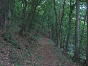
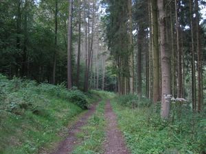
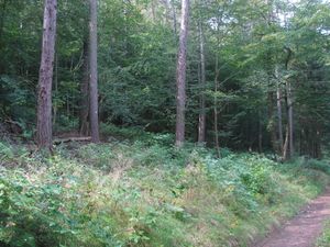
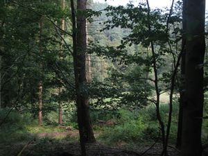
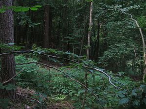
| [[Image:2014-09-04 51 9 GeorgDerReisende 5643.jpg|300px]] || [[Image:2014-09-04 51 9 GeorgDerReisende 5646.jpg|300px]] || ...and wided and wided until it was a usual forest way. | | [[Image:2014-09-04 51 9 GeorgDerReisende 5643.jpg|300px]] || [[Image:2014-09-04 51 9 GeorgDerReisende 5646.jpg|300px]] || ...and wided and wided until it was a usual forest way. | ||
|- | |- | ||
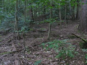
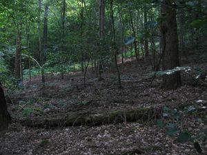
| − | | [[Image:2014-09-04 51 9 GeorgDerReisende 5647.jpg|300px]] || [[Image:2014-09-04 51 9 GeorgDerReisende 5649.jpg|300px]] || The hash | + | | [[Image:2014-09-04 51 9 GeorgDerReisende 5647.jpg|300px]] || [[Image:2014-09-04 51 9 GeorgDerReisende 5649.jpg|300px]] || The hash lay on the upper side of the way, somewhere between dead trees. |
|- | |- | ||
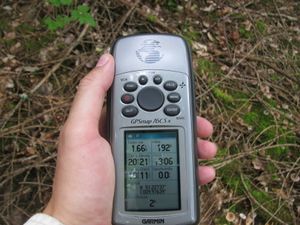
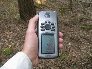
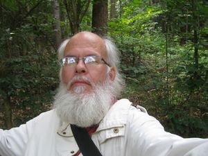
| [[Image:2014-09-04 51 9 GeorgDerReisende 5651.jpg|300px]] || [[Image:2014-09-04 51 9 GeorgDerReisende 5652.jpg|300px]] || Because of the dangerous ground I didn't want to do a detailed dance and then, after finding the best point, the pointer of the Garmin danced further and further. | | [[Image:2014-09-04 51 9 GeorgDerReisende 5651.jpg|300px]] || [[Image:2014-09-04 51 9 GeorgDerReisende 5652.jpg|300px]] || Because of the dangerous ground I didn't want to do a detailed dance and then, after finding the best point, the pointer of the Garmin danced further and further. | ||
Revision as of 19:45, 8 October 2014
| Thu 4 Sep 2014 in 51,9: 51.2273697, 9.9763615 geohashing.info google osm bing/os kml crox |
Location
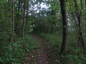
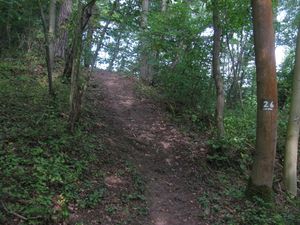
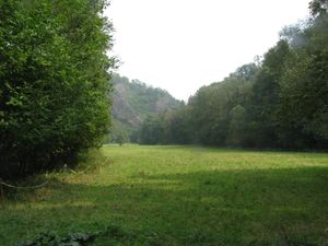
The hash lay in the valley of the hell at the northern area of the village Meissner.
Participants
Plans
As usual, hitchhiking and walking.
Expedition
I started at home at 10 o'clock, started to hitchhike at 10:45 and with two cars I arrived at the former railway station of Albungen at 12:25.
On the way back I started to hitchhike at 15:20 and with three cars I arrived at Kassel at 18:15.
Achievements
GeorgDerReisende earned the Thumbs Up Geohash Achievement
|
GeorgDerReisende earned the Hash collision honorable mention
|
