Difference between revisions of "2014-10-27 51 9"
From Geohashing
imported>GeorgDerReisende (create page) |
imported>FippeBot m (Location) |
||
| (3 intermediate revisions by one other user not shown) | |||
| Line 1: | Line 1: | ||
| − | |||
| − | |||
| − | |||
| − | |||
| − | |||
| − | |||
| − | |||
| − | |||
| − | |||
| − | |||
{{meetup graticule | {{meetup graticule | ||
| lat=51 | | lat=51 | ||
| Line 18: | Line 8: | ||
__NOTOC__ | __NOTOC__ | ||
== Location == | == Location == | ||
| − | + | ||
| + | on a meadow in the valley of the Drusel | ||
== Participants == | == Participants == | ||
| − | + | ||
| − | + | [[User:GeorgDerReisende|GeorgDerReisende]] | |
== Plans == | == Plans == | ||
| − | + | ||
| + | goin there | ||
== Expedition == | == Expedition == | ||
| − | |||
| − | + | A meadow. In a valley. With apple trees. In the autumn. Nothing worth to tell. | |
| − | |||
| − | == | + | {| |
| − | + | |- | |
| − | Image: | + | ! style="width:300px" | !! style="width:300px" | !! style="width:300px" | |
| − | -- | + | |- |
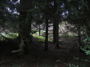
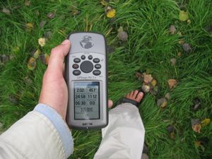
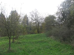
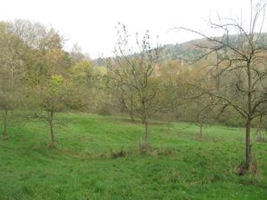
| − | + | | [[Image:2014-10-27 51 9 GeorgDerReisende 9259.jpg|300px]] || || I took the tram 3 to the Druseltal stop and from there I walked the last mile (1.61 km!). I found the forest road to the hash and I entered it. While walking uphill I saw some green thing looking through the trees. And I wondered, if this might the meadow of hash. And it was. | |
| − | + | |- | |
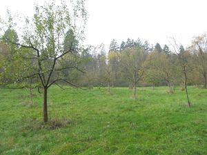
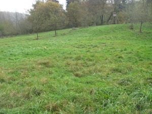
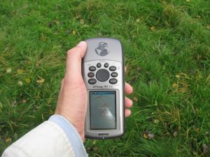
| + | | [[Image:2014-10-27 51 9 GeorgDerReisende 9260.jpg|300px]] || [[Image:2014-10-27 51 9 GeorgDerReisende 9261.jpg|300px]] || On the meadow I walked further uphill. And for a moment I had a 0 meter shot. | ||
| + | |- | ||
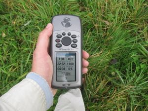
| + | | [[Image:2014-10-27 51 9 GeorgDerReisende 9262.jpg|300px]] || [[Image:2014-10-27 51 9 GeorgDerReisende 9266.jpg|300px]] || But I wanted a stable point and I tried it. And the stable point was ten meters away. | ||
| + | |- | ||
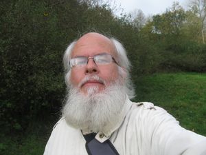
| + | | [[Image:2014-10-27 51 9 GeorgDerReisende 9267.jpg|300px]] || [[Image:2014-10-27 51 9 GeorgDerReisende 9268.jpg|300px]] || Proof of dance and the lucky geohasher. | ||
| + | |- | ||
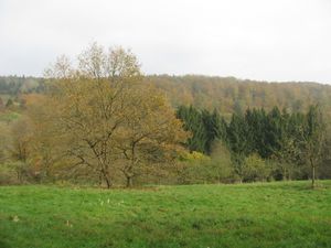
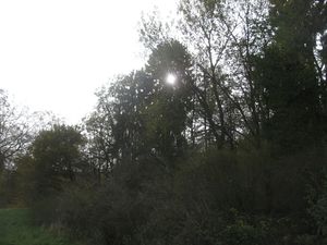
| + | | [[Image:2014-10-27 51 9 GeorgDerReisende 9269.jpg|300px]] the north || [[Image:2014-10-27 51 9 GeorgDerReisende 9270.jpg|300px]] the east || [[Image:2014-10-27 51 9 GeorgDerReisende 9271.jpg|300px]] the sun | ||
| + | |- | ||
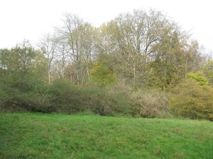
| + | | [[Image:2014-10-27 51 9 GeorgDerReisende 9272.jpg|300px]] || || ...and the west. No photo of the south, there was a thicket one meter away and we all know thickets. | ||
| + | |- | ||
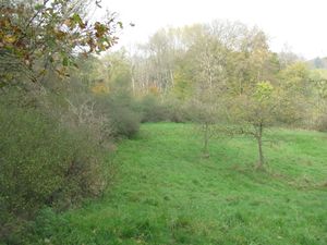
| + | | [[Image:2014-10-27 51 9 GeorgDerReisende 9278.jpg|300px]] || [[Image:2014-10-27 51 9 GeorgDerReisende 9279.jpg|300px]] || on the meadow: a hash and an apple tree | ||
| + | |- | ||
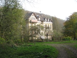
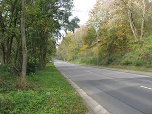
| + | | [[Image:2014-10-27 51 9 GeorgDerReisende 9282.jpg|300px]] || [[Image:2014-10-27 51 9 GeorgDerReisende 9283.jpg|300px]] || the house near the meadow and the road in the valley | ||
| + | |} | ||
== Achievements == | == Achievements == | ||
| Line 44: | Line 48: | ||
<!-- Add any achievement ribbons you earned below, or remove this section --> | <!-- Add any achievement ribbons you earned below, or remove this section --> | ||
| + | {{Public transport geohash | latitude = 51 | longitude = 9 | date = 2014-10-27 | busline = tram 3 | name = GeorgDerReisende }} | ||
| − | + | [[Category:Expeditions]] | |
| − | |||
| − | [[Category: | ||
| − | + | [[Category:Expeditions with photos]] | |
| − | |||
| − | |||
| − | |||
| − | [[Category: | ||
| − | |||
| − | |||
| − | |||
| − | |||
| − | |||
| − | |||
| − | |||
| − | |||
| − | |||
| − | |||
[[Category:Coordinates reached]] | [[Category:Coordinates reached]] | ||
| − | + | {{location|DE|HE|KS|city=true}} | |
| − | |||
| − | |||
| − | |||
| − | |||
| − | |||
| − | |||
| − | |||
| − | |||
| − | |||
| − | |||
| − | |||
| − | |||
| − | |||
| − | |||
| − | |||
| − | |||
| − | |||
Latest revision as of 01:50, 15 August 2019
| Mon 27 Oct 2014 in 51,9: 51.3066542, 9.3927019 geohashing.info google osm bing/os kml crox |
Location
on a meadow in the valley of the Drusel
Participants
Plans
goin there
Expedition
A meadow. In a valley. With apple trees. In the autumn. Nothing worth to tell.
Achievements
GeorgDerReisende earned the Public transport geohash achievement
|
