Difference between revisions of "2015-05-06 51 9"
From Geohashing
imported>GeorgDerReisende (create page) |
imported>FippeBot m (Location) |
||
| (One intermediate revision by one other user not shown) | |||
| Line 1: | Line 1: | ||
| − | |||
| − | |||
| − | |||
| − | |||
| − | |||
| − | |||
| − | |||
| − | |||
| − | |||
| − | |||
{{meetup graticule | {{meetup graticule | ||
| lat=51 | | lat=51 | ||
| Line 18: | Line 8: | ||
__NOTOC__ | __NOTOC__ | ||
== Location == | == Location == | ||
| − | + | ||
| + | The hash lay on the top of a hill south of Nieheim. | ||
== Participants == | == Participants == | ||
| − | + | ||
| − | + | [[User:GeorgDerReisende|GeorgDerReisende]] | |
== Plans == | == Plans == | ||
| − | + | ||
| + | Hitchhiking and walking as usual. | ||
== Expedition == | == Expedition == | ||
| − | |||
| − | |||
| − | |||
| − | |||
| − | == | + | {| |
| − | + | |- | |
| − | Image: | + | ! style="width:300px" | !! style="width:300px" | !! style="width:300px" | |
| − | -- | + | |- |
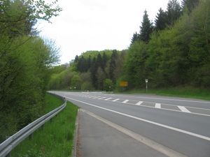
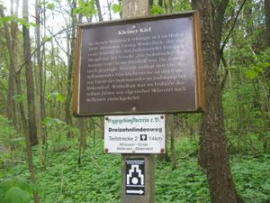
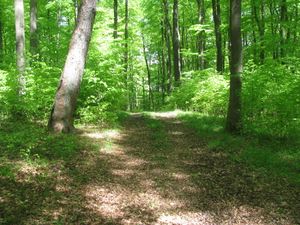
| − | + | | [[Image:2015-05-06 51 9 GeorgDerReisende 6251.jpg | 300px ]] || [[Image:2015-05-06 51 9 GeorgDerReisende 6273.jpg | 300px ]] || I left home at 9:30, started to hitchhike at 10:30, and with a long waiting time at the bypass of Brakel I arrived at the turn-off to Albrock at 13:30. I walked around a bit and found a hint to German literature. | |
| − | + | |- | |
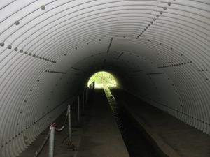
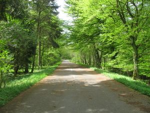
| + | | [[Image:2015-05-06 51 9 GeorgDerReisende 6277.jpg | 300px ]] || [[Image:2015-05-06 51 9 GeorgDerReisende 6281.jpg | 300px ]] || The tunnel under the Ostwestfalenstraße was both a tunnel for hikers and for the water. Later I walked on the old national road. | ||
| + | |- | ||
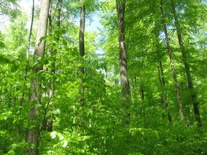
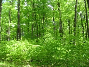
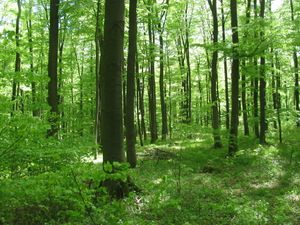
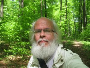
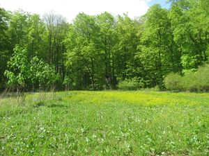
| + | | [[Image:2015-05-06 51 9 GeorgDerReisende 6298.jpg | 300px ]] || [[Image:2015-05-06 51 9 GeorgDerReisende 6302.jpg | 300px ]] || I walked through the forest on usual forest ways and arrived at the hash. I danced around. | ||
| + | |- | ||
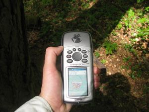
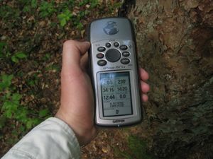
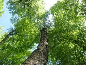
| + | | [[Image:2015-05-06 51 9 GeorgDerReisende 6300.jpg | 300px ]] || [[Image:2015-05-06 51 9 GeorgDerReisende 6301.jpg | 300px ]] || And found the exact place at the site of a spruce. I looked around. | ||
| + | |- | ||
| + | | [[Image:2015-05-06 51 9 GeorgDerReisende 6303.jpg | 300px ]] to the north || [[Image:2015-05-06 51 9 GeorgDerReisende 6304.jpg | 300px ]] to the east || [[Image:2015-05-06 51 9 GeorgDerReisende 6305.jpg | 300px ]] to the south | ||
| + | |- | ||
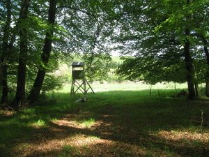
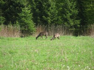
| + | | [[Image:2015-05-06 51 9 GeorgDerReisende 6306.jpg | 300px ]] and to the west || [[Image:2015-05-06 51 9 GeorgDerReisende 6307.jpg | 300px ]] and to me. || I walked the way further to have a look to the meadow and to look for a fast way down and saw two deers grazing. They noticed me after two minutes and ran away. | ||
| + | |- | ||
| + | | [[Image:2015-05-06 51 9 GeorgDerReisende 6309.jpg | 300px ]] || [[Image:2015-05-06 51 9 GeorgDerReisende 6310.jpg | 300px ]] || [[Image:2015-05-06 51 9 GeorgDerReisende 6312.jpg | 300px ]] | ||
| + | |- | ||
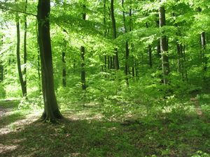
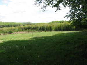
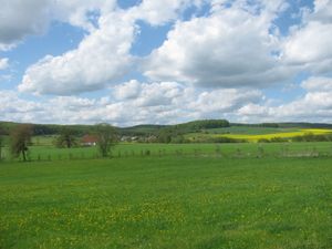
| + | | [[Image:2015-05-06 51 9 GeorgDerReisende 6323.jpg | 300px ]] || [[Image:2015-05-06 51 9 GeorgDerReisende 6340.jpg | 300px ]] || I didn't look further for a way there along to not disturbing the animals in the forest and took the longer way. So I had a look to the meadow in the forest and a look to the village behind the forest. For the way home I started to hitchhike at 15:40 and with four cars I arrived at home at 18:20. | ||
| + | |} | ||
== Achievements == | == Achievements == | ||
| Line 44: | Line 46: | ||
<!-- Add any achievement ribbons you earned below, or remove this section --> | <!-- Add any achievement ribbons you earned below, or remove this section --> | ||
| + | {{Thumbs Up | latitude = 51 | longitude = 9 | date = 2015-05-06 | name = GeorgDerReisende }} | ||
| − | + | [[Category:Expeditions]] | |
| − | |||
| − | [[Category: | ||
| − | + | [[Category:Expeditions with photos]] | |
| − | |||
| − | |||
| − | |||
| − | [[Category: | ||
| − | |||
| − | |||
| − | |||
| − | |||
| − | |||
| − | |||
| − | |||
| − | |||
| − | |||
| − | |||
[[Category:Coordinates reached]] | [[Category:Coordinates reached]] | ||
| − | + | {{location|DE|NW|HX}} | |
| − | |||
| − | |||
| − | |||
| − | |||
| − | |||
| − | |||
| − | |||
| − | |||
| − | |||
| − | |||
| − | |||
| − | |||
| − | |||
| − | |||
| − | |||
| − | |||
| − | |||
Latest revision as of 03:33, 15 August 2019
| Wed 6 May 2015 in 51,9: 51.7670552, 9.1415841 geohashing.info google osm bing/os kml crox |
Location
The hash lay on the top of a hill south of Nieheim.
Participants
Plans
Hitchhiking and walking as usual.
Expedition
Achievements
GeorgDerReisende earned the Thumbs Up Geohash Achievement
|
