Difference between revisions of "2015-06-14 50 10"
imported>Reinhard (Created page with "{{meetup graticule | lat=50 | lon=10 | date=2015-06-14 }} <!-- edit as necessary --> __NOTOC__ == Location == Close to a gravel road near Jüchsen, Thuringia, Germany. == P...") |
imported>FippeBot m (Location) |
||
| Line 30: | Line 30: | ||
[[Category:Expeditions with photos]] | [[Category:Expeditions with photos]] | ||
[[Category:Coordinates reached]] | [[Category:Coordinates reached]] | ||
| + | {{location|DE|TH|SM}} | ||
Latest revision as of 04:03, 15 August 2019
| Sun 14 Jun 2015 in 50,10: 50.4699183, 10.5036281 geohashing.info google osm bing/os kml crox |
Location
Close to a gravel road near Jüchsen, Thuringia, Germany.
Participants
Expedition
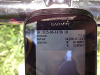
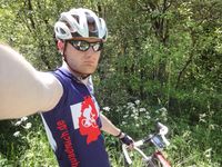
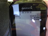
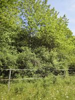
Being only about 30 km from Schleusingerneundorf, this geohash could easily be visited by Reinhard. Starting on this warm Sunday after lunch, he arrived Jüchsen one hour later and approached the hashpoint on a gravel road. Staying on the road he couldn't get closer than 7 meters, but right beside the road the thicket started which Reinhard didn't want to penetrate. He went some meters back, where he could walk around the copse on grassland after crossing an electric fence (no animals around). From there he got closer to the hashpoint, but still was about 5 meters away. Reinhard still didn't feel like bushwhacking which couldn't guarantee him a better GPS shot. But, 5 meters are close enough, aren't they?
Tracklog
Photos
|


