Difference between revisions of "2015-07-10 51 9"
From Geohashing
imported>GeorgDerReisende (create page) |
imported>GeorgDerReisende (expedition report for Hess. Lichtenau-Hopfelde) |
||
| Line 1: | Line 1: | ||
| − | |||
| − | |||
| − | |||
| − | |||
| − | |||
| − | |||
| − | |||
| − | |||
| − | |||
| − | |||
{{meetup graticule | {{meetup graticule | ||
| lat=51 | | lat=51 | ||
| Line 19: | Line 9: | ||
== Location == | == Location == | ||
| − | + | ||
| + | The hash lay on a meadow above Hopfelde. | ||
== Participants == | == Participants == | ||
| − | + | ||
| − | + | [[User:GeorgDerReisende|GeorgDerReisende]] | |
== Plans == | == Plans == | ||
| − | + | ||
| + | Hitchhiking and walking. | ||
== Expedition == | == Expedition == | ||
| − | |||
| − | |||
| − | |||
| − | |||
| − | == | + | {| |
| − | + | |- | |
| − | Image: | + | ! style="width:300px" | !! style="width:300px" | !! style="width:300px" | |
| − | -- | + | |- |
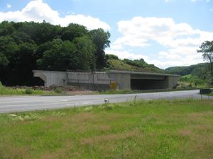
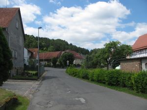
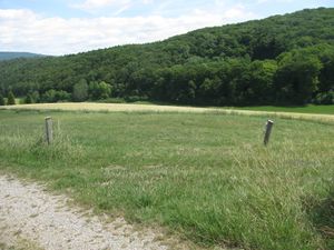
| − | + | | [[Image:2015-07-10 51 9 GeorgDerReisende 9370.jpg | 300px ]] || [[Image:2015-07-10 51 9 GeorgDerReisende 9376.jpg | 300px ]] || I left home at 11 o'clock, started to hitchhike at 11:30 and arrived at 12:20 at the point of start of my walk. At that place stands a ''so da''-bridge, so called are bridges, which stand alone without any access. In this case the motorway will come in 2020. From here I walked along the state road to Hollstein and then further in the direction of Hopfelde. | |
| − | + | |- | |
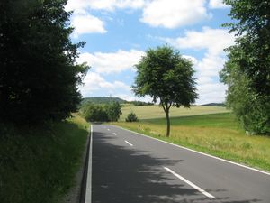
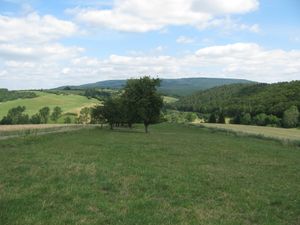
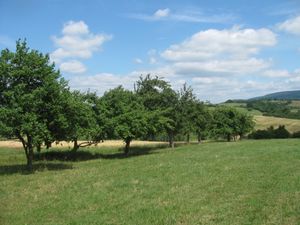
| + | | [[Image:2015-07-10 51 9 GeorgDerReisende 9390.jpg | 300px ]] || || After two miles I had a first view to the hasharea and the hash. | ||
| + | |- | ||
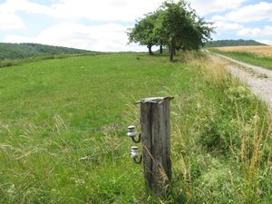
| + | | [[Image:2015-07-10 51 9 GeorgDerReisende 9402.jpg | 300px ]] || [[Image:2015-07-10 51 9 GeorgDerReisende 9405.jpg | 300px ]] || Coming near to the hash meadow I found out, that there was a fence with barbed wire and electricity around the hash meadow. I walked along the meadow and had a first direct view to the hash, but 20 meters behind the fence. | ||
| + | |- | ||
| + | | [[Image:2015-07-10 51 9 GeorgDerReisende 9406.jpg | 300px ]] || [[Image:2015-07-10 51 9 GeorgDerReisende 9407.jpg | 300px ]] || But I looked for a gate or a hole in the fence. And I found the gate open and I could go directly to the hash. | ||
| + | |- | ||
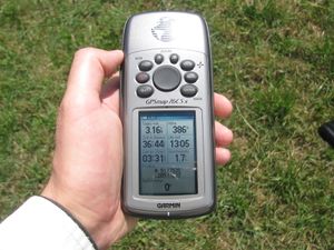
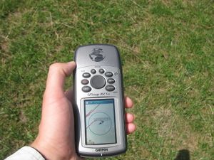
| + | | [[Image:2015-07-10 51 9 GeorgDerReisende 9409.jpg | 300px ]] || [[Image:2015-07-10 51 9 GeorgDerReisende 9416.jpg | 300px ]] || With some steps I reached the hash, I didn't need a dance. | ||
| + | |- | ||
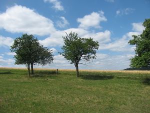
| + | | And I looked around: || [[Image:2015-07-10 51 9 GeorgDerReisende 9410.jpg | 300px ]] the north || [[Image:2015-07-10 51 9 GeorgDerReisende 9411.jpg | 300px ]] the west | ||
| + | |- | ||
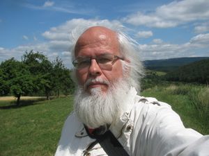
| + | | [[Image:2015-07-10 51 9 GeorgDerReisende 9412.jpg | 300px ]] the south || [[Image:2015-07-10 51 9 GeorgDerReisende 9413.jpg | 300px ]] the east || [[Image:2015-07-10 51 9 GeorgDerReisende 9414.jpg | 300px ]] the geohasher | ||
| + | |- | ||
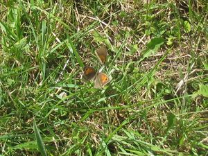
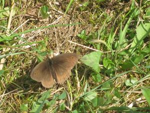
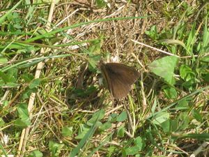
| + | | colspan = 3 | Then I could make some butterfly spotting. | ||
| + | |- | ||
| + | | [[Image:2015-07-10 51 9 GeorgDerReisende 9417.jpg | 300px ]] || [[Image:2015-07-10 51 9 GeorgDerReisende 9419.jpg | 300px ]] || [[Image:2015-07-10 51 9 GeorgDerReisende 9420.jpg | 300px ]] | ||
| + | |- | ||
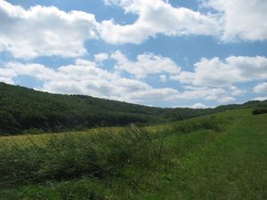
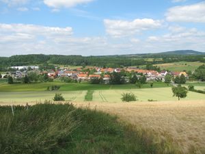
| + | | [[Image:2015-07-10 51 9 GeorgDerReisende 9426.jpg | 300px ]] || || Afterwards I walked to the other side of the hill and had a view to Hopfelde. | ||
| + | |- | ||
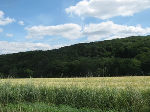
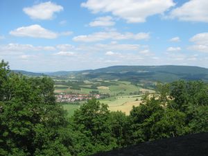
| + | | [[Image:2015-07-10 51 9 GeorgDerReisende 9465.jpg | 300px ]] || || And I walked to the tower of Reichenbach and had another view to the hasharea. Today's hash is behind the trees at the right side. In the distance a wide area of successful geohashes. | ||
| + | |} | ||
== Achievements == | == Achievements == | ||
| Line 45: | Line 53: | ||
<!-- Add any achievement ribbons you earned below, or remove this section --> | <!-- Add any achievement ribbons you earned below, or remove this section --> | ||
| − | + | {{Thumbs Up | latitude = 51 | longitude = 9 | date = 2015-07-10 | name = GeorgDerReisende }} | |
| − | |||
| − | |||
| − | + | [[Category:Expeditions]] | |
| − | |||
| − | [[Category: | ||
| − | |||
| − | + | [[Category:Expeditions with photos]] | |
| − | |||
| − | |||
| − | |||
| − | |||
| − | |||
| − | |||
| − | |||
| − | |||
| − | |||
[[Category:Coordinates reached]] | [[Category:Coordinates reached]] | ||
| − | |||
| − | |||
| − | |||
| − | |||
| − | |||
| − | |||
| − | |||
| − | |||
| − | |||
| − | |||
| − | |||
| − | |||
| − | |||
| − | |||
| − | |||
| − | |||
| − | |||
| − | |||
Revision as of 19:48, 10 July 2015
| Fri 10 Jul 2015 in 51,9: 51.1753576, 9.7708234 geohashing.info google osm bing/os kml crox |
Location
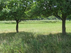
The hash lay on a meadow above Hopfelde.
Participants
Plans
Hitchhiking and walking.
Expedition
Achievements
GeorgDerReisende earned the Thumbs Up Geohash Achievement
|
