Difference between revisions of "2015-09-12 51 13"
imported>Danatar (Report!) |
imported>FippeBot m (Location) |
||
| (One intermediate revision by one other user not shown) | |||
| Line 39: | Line 39: | ||
===tracklog=== | ===tracklog=== | ||
| − | + | [http://www.everytrail.com/view_trip.php?trip_id=3409896&code=c1d42512db8f0e3684108b31b767df9f triton tracklog] | |
| Line 46: | Line 46: | ||
[[Category:Coordinates reached]] | [[Category:Coordinates reached]] | ||
[[Category:Danatar]] | [[Category:Danatar]] | ||
| + | {{location|DE|SN|DD}} | ||
Latest revision as of 05:06, 15 August 2019
| Sat 12 Sep 2015 in Dresden: 51.1193204, 13.7949829 geohashing.info google osm bing/os kml crox |
Location
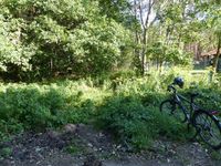
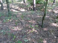
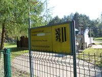
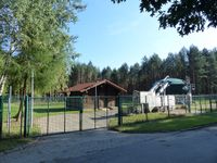
Today's location is in the forest a few meters from a Fäkalienannahmestation ("fecal matter receiving station", whatever they do there) near Dresden-Klotzsche.
Country: Germany; state: Sachsen (Saxony, EU:DE:SN); district: Dresden; Ortsamt: Loschwitz; statistischer Stadtteil: Dresdner Heide
Danatar
Expedition
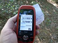
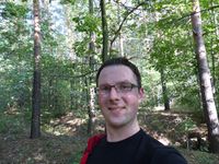
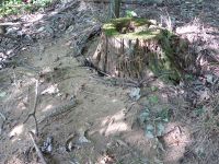
After getting totally overworked for four weeks, I had a whole weekend off, hooray. The hashpoint fell in the northern part of Dresden and so I decided to visit it at meetup time. I started out at 15:30, later than planned for a distance of 10.5 km. That meant that I couldn't cycle comfortably and, beginning at home and right to the hashpoint, I had to cycle as quickly as possible. There were parts of the route where that was very difficult. Most of the route I know very well by now, after all those hashpoints in the northern part of Dresden, only after I took a turn in Klotzsche I discovered one new street. All the hurrying paid off, I crossed the railway not far from the hashpoint at 4 p.m. sharp and one minute later I was near the spot. My GPS dance turned into a spiral but I reached the spot without any real problems and finally I could take some deep breaths in the fresh forest air. I didn't stay long, taking the same route back home. Now without any time limit I took it more slowly, which turned out to be faster in many places because the road went mostly downhill.
|
My geohashiversary was on 2015-09-07. I didn't go to the hashpoint because I was totally exhausted from having had no day for three weeks without either work, lots of appointments, or both. Also, I didn't want to take the car. In the past year, my seventh year of geohashing, I:
- visited another 28 hashpoints (out of 33 tries), 4 new graticules, 1 new country, 1 new continent
- cycled 292.6 km, walked 159.2 km, used public transport for 1537.9 km and motorized vehicles for only 29.9 km
- spent another 256 Euros while geohashing
