Difference between revisions of "2016-02-07 50 10"
From Geohashing
imported>Reinhard (created) |
imported>FippeBot m (Location) |
||
| (2 intermediate revisions by one other user not shown) | |||
| Line 14: | Line 14: | ||
== Expedition == | == Expedition == | ||
| + | Had to cross a small creek to get there and wasn't sure, whether I could also cross it with my bike for leaving as it would need a jump upwards. Rest was easy. | ||
| − | |Image:20160207-50N10E-01.jpg|. | + | == Tracklog == |
| + | [https://www.strava.com/activities/487860747 Strava activity] | ||
| + | |||
| + | == Photos == | ||
| + | {{gallery|width=200|height=200|lines=2 | ||
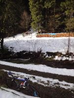
| + | |Image:20160207-50N10E-01.jpg|Somewhere there behind the creek in the forest. | ||
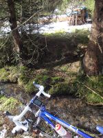
| + | |Image:20160207-50N10E-02.jpg|Narrowest spot. | ||
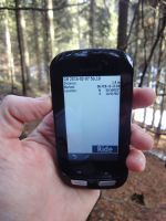
| + | |Image:20160207-50N10E-03.jpg|Reached. | ||
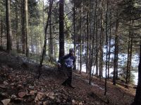
| + | |Image:20160207-50N10E-04.jpg|Hash site. | ||
}} | }} | ||
| Line 21: | Line 30: | ||
[[Category:Expeditions with photos]] | [[Category:Expeditions with photos]] | ||
[[Category:Coordinates reached]] | [[Category:Coordinates reached]] | ||
| + | {{location|DE|TH|HBN}} | ||
Latest revision as of 06:38, 15 August 2019
| Sun 7 Feb 2016 in 50,10: 50.5043244, 10.9370524 geohashing.info google osm bing/os kml crox |
Location
At the hillside in the forest close to Fehrenbach, Thuringia, Germany.
Participants
Expedition
Had to cross a small creek to get there and wasn't sure, whether I could also cross it with my bike for leaving as it would need a jump upwards. Rest was easy.
Tracklog
Photos
|


