Difference between revisions of "2016-02-29 51 9"
From Geohashing
imported>GeorgDerReisende (new report) |
imported>GeorgDerReisende (expedition report for Niedenstein-Metze) |
||
| Line 1: | Line 1: | ||
| − | |||
| − | |||
| − | |||
| − | |||
| − | |||
| − | |||
| − | |||
| − | |||
| − | |||
| − | |||
{{meetup graticule | {{meetup graticule | ||
| lat=51 | | lat=51 | ||
| Line 19: | Line 9: | ||
== Location == | == Location == | ||
| − | + | ||
| + | The hash lay in the Buchenweg in Niedenstein-Metze. | ||
== Participants == | == Participants == | ||
| − | + | ||
| − | + | [[User:GeorgDerReisende|GeorgDerReisende]] | |
== Plans == | == Plans == | ||
| − | + | ||
| + | To the hash, by traveling by tram, hitchhiking and walking. | ||
== Expedition == | == Expedition == | ||
| − | |||
| − | |||
| − | |||
| − | |||
| − | == | + | {| |
| − | + | |- | |
| − | Image: | + | ! style="width:300px" | !! style="width:300px" | !! style="width:300px" | |
| − | -- | + | |- |
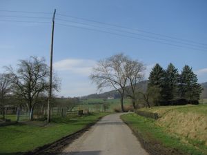
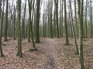
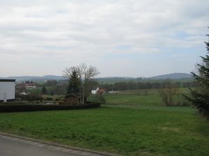
| − | + | | [[Image:2016-02-29 51 9 GeorgDerReisende 8870.jpg | 300px ]] || [[Image:2016-02-29 51 9 GeorgDerReisende 8894.jpg | 300px ]] || I took the tram to Baunatal-Hünstein, walked some meters and after some minutes of waiting I got a car to Besse. The driver misunderstood me a little and brought me to a place, where a hiking trail to Metze began. His description of the way was nice, so I started to walk on this trail. The weather was cold, and there was a strong wind. And there was some dust in the air, which was bad for taking photos of the landscape. The trail began as a grass way, continued on asphalt and in the forest it was only a narrow path. | |
| − | + | |- | |
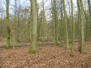
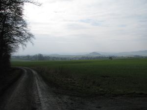
| + | | [[Image:2016-02-29 51 9 GeorgDerReisende 8899.jpg | 300px ]] || [[Image:2016-02-29 51 9 GeorgDerReisende 8901.jpg | 300px ]] || Later the path changed into a trail with white marks on the trees, but without a trail on the ground. And suddenly I heard them, the raptors: rrrrrrrrrrrrrrrrRRRRRRRRRRRRRRRRRRRrrrrrr, crrrssshhh. And I fled this forest. Coming out of the forest, I had a first view to Metze. | ||
| + | |- | ||
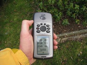
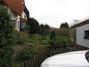
| + | | [[Image:2016-02-29 51 9 GeorgDerReisende 8934.jpg | 300px ]] || [[Image:2016-02-29 51 9 GeorgDerReisende 8935.jpg | 300px ]] || After some circling around in another forest, I arrived at Metze and at the hash. Twenty meters to go, five meters to go. I found the hash laying in a garden of a house, about one meter behind the fence. | ||
| + | |- | ||
| + | | [[Image:2016-02-29 51 9 GeorgDerReisende 8939.jpg | 300px ]] || [[Image:2016-02-29 51 9 GeorgDerReisende 8941.jpg | 300px ]] || The patch, where the hash was. | ||
| + | |- | ||
| + | | [[Image:2016-02-29 51 9 GeorgDerReisende 8940.jpg | 300px ]] || || Proof. And I looked around. | ||
| + | |- | ||
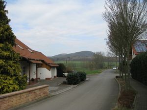
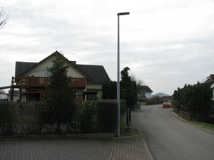
| + | | [[Image:2016-02-29 51 9 GeorgDerReisende 8942.jpg | 300px ]] north || [[Image:2016-02-29 51 9 GeorgDerReisende 8943.jpg | 300px ]] east || [[Image:2016-02-29 51 9 GeorgDerReisende 8944.jpg | 300px ]] south | ||
| + | |- | ||
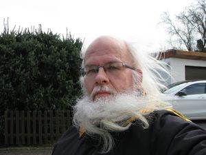
| + | | [[Image:2016-02-29 51 9 GeorgDerReisende 8945.jpg | 300px ]] west || [[Image:2016-02-29 51 9 GeorgDerReisende 8946.jpg | 300px ]] and the geohasher. || | ||
| + | |- | ||
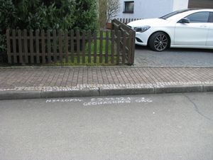
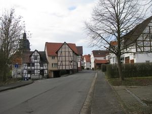
| + | | [[Image:2016-02-29 51 9 GeorgDerReisende 8947.jpg | 300px ]] || [[Image:2016-02-29 51 9 GeorgDerReisende 8959.jpg | 300px ]] || I wrote a mark onto the street, had a short look to the old village, walked through the forest to Gudensberg, and hitchhiked home. | ||
| + | |} | ||
== Achievements == | == Achievements == | ||
| Line 45: | Line 47: | ||
<!-- Add any achievement ribbons you earned below, or remove this section --> | <!-- Add any achievement ribbons you earned below, or remove this section --> | ||
| − | + | {{Leap geohash | year = 2016 | lat = 51 | lon = 9 | name = GeorgDerReisende}} | |
| − | |||
| − | |||
| − | + | [[Category:Expeditions]] | |
| − | |||
| − | [[Category: | ||
| − | |||
| − | + | [[Category:Expeditions with photos]] | |
| − | |||
| − | |||
| − | |||
| − | |||
| − | |||
| − | |||
| − | |||
| − | |||
| − | |||
[[Category:Coordinates reached]] | [[Category:Coordinates reached]] | ||
| − | |||
| − | |||
| − | |||
| − | |||
| − | |||
| − | |||
| − | |||
| − | |||
| − | |||
| − | |||
| − | |||
| − | |||
| − | |||
| − | |||
| − | |||
| − | |||
| − | |||
| − | |||
Revision as of 17:39, 29 February 2016
| Mon 29 Feb 2016 in 51,9: 51.2073451, 9.3392128 geohashing.info google osm bing/os kml crox |
Location
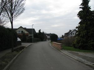
The hash lay in the Buchenweg in Niedenstein-Metze.
Participants
Plans
To the hash, by traveling by tram, hitchhiking and walking.
Expedition
Achievements
GeorgDerReisende earned the Leap geohash achievement 2016
|
