Difference between revisions of "2016-07-09 50 11"
From Geohashing
imported>Reinhard (→Expedition) |
imported>Reinhard (→Photos) |
||
| Line 22: | Line 22: | ||
== Photos == | == Photos == | ||
{{gallery|width=200|height=200|lines=2 | {{gallery|width=200|height=200|lines=2 | ||
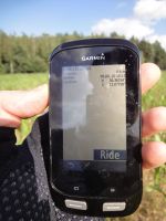
| − | |Image:20160709-50N11E-01.jpg|Coordinates reached. | + | |Image:20160709-50N11E-01.jpg|Coordinates reached. |
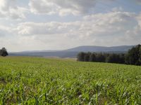
| − | |Image:20160709-50N11E-02.jpg| | + | |Image:20160709-50N11E-02.jpg|View towards Bleßberg. |
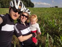
| − | |Image:20160709-50N11E-03.jpg|. | + | |Image:20160709-50N11E-03.jpg|Reinhard, Manu and Pico at the hashpoint. |
}} | }} | ||
Revision as of 22:20, 11 July 2016
| Sat 9 Jul 2016 in 50,11: 50.3635402, 11.0775782 geohashing.info google osm bing/os kml crox |
Location
On a field between Effelder and Rückerswind, Thuringia, Germany.
Participants
Expedition
Bike ride with Manu and Pico from Schleusingerneundorf. Longest trailer ride (71 km round trip) ever for Pico!
Tracklog
Photos
|


