Difference between revisions of "2017-04-08 34 -84"
From Geohashing
imported>NWoodruff (Created page with "{{meetup graticule | map=<map lat="34" lon="-84" date="2017-04-08" /> | lat=34 | lon=-84 | date=2017-04-08 | graticule_name=Roswell | graticule_link=Roswell, Georgia }} == Gr...") |
imported>NWoodruff (→Gallery) |
||
| Line 25: | Line 25: | ||
== Gallery == | == Gallery == | ||
<gallery caption="Photo Gallery" widths="200px" heights="200px" perrow="3"> | <gallery caption="Photo Gallery" widths="200px" heights="200px" perrow="3"> | ||
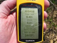
| − | Image:20170408_34_-84NW01.JPG | | + | Image:20170408_34_-84NW01.JPG | 5 feet to go. Close enough. |
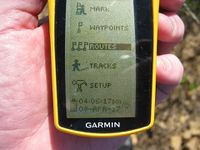
| + | Image:20170408_34_-84NW02.JPG | Time of the meetup. | ||
| + | Image:20170408_34_-84NW03.JPG | Date of the meetup. | ||
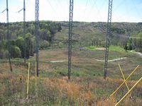
| + | Image:20170408_34_-84NW04.JPG | Looking down the hill towards the street where I parked my truck. | ||
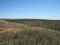
| + | Image:20170408_34_-84NW05.JPG | Looking East standing on the Geohash spot. | ||
| + | Image:20170408_34_-84NW06.JPG | Looking West standing on the Geohash spot. | ||
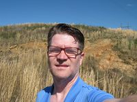
| + | Image:20170408_34_-84NW07.JPG | Me! standing on the geohash spot. | ||
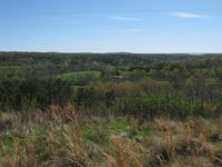
| + | Image:20170408_34_-84NW08.JPG | Looking East standing on the top of the hill. | ||
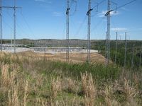
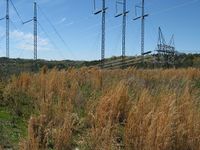
| + | Image:20170408_34_-84NW09.JPG | Looing North at the power substation standing on top of the hill. | ||
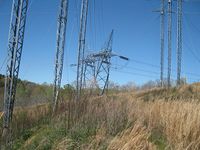
| + | Image:20170408_34_-84NW10.JPG | Looking West standing on top of the hill. | ||
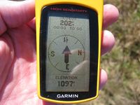
| + | Image:20170408_34_-84NW11.JPG | Highest elevation point on the hill. | ||
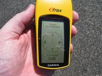
| + | Image:20170408_34_-84NW12.JPG | Elevation of where I parked my truck. A 170 feet climb up to the Geohash spot. | ||
</gallery> | </gallery> | ||
Revision as of 18:42, 10 April 2017
| Sat 8 Apr 2017 in Roswell: 34.3263985, -84.3406244 geohashing.info google osm bing/os kml crox |
Contents
Graticule
About
Up on a hill under some high tension power lines in Ball Ground.
People
Expeditions
Gallery
- Photo Gallery

