Difference between revisions of "2017-04-30 51 9"
From Geohashing
imported>GeorgDerReisende (new report) |
imported>FippeBot m (Location) |
||
| (One intermediate revision by one other user not shown) | |||
| Line 1: | Line 1: | ||
| − | |||
| − | |||
| − | |||
| − | |||
| − | |||
| − | |||
| − | |||
| − | |||
| − | |||
| − | |||
{{meetup graticule | {{meetup graticule | ||
| lat=51 | | lat=51 | ||
| Line 19: | Line 9: | ||
== Location == | == Location == | ||
| − | + | ||
| + | The hash lay on a slope of rubbish at the southern edge of Malsfeld. | ||
== Participants == | == Participants == | ||
| − | + | ||
| − | + | [[User:GeorgDerReisende|GeorgDerReisende]] | |
== Plans == | == Plans == | ||
| − | + | ||
| + | As usual: hitchhiking. | ||
== Expedition == | == Expedition == | ||
| − | |||
| − | |||
| − | |||
| − | |||
| − | == | + | {| |
| − | + | |- | |
| − | Image: | + | ! style="width:300px" | !! style="width:300px" | !! style="width:300px" | |
| − | -- | + | |- |
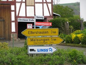
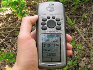
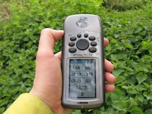
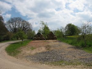
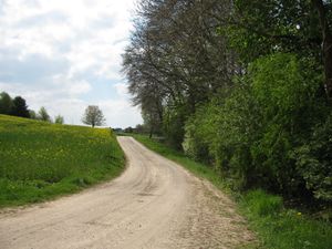
| − | + | | [[Image:2017-04-30 51 9 GeorgDerReisende 3986.jpg|300px]] || [[Image:2017-04-30 51 9 GeorgDerReisende 4015.jpg|300px]] || I left home at 11:15, started to hitchhike at 12:00 and arrived at Malsfeld with two cars at 13:15. At the moment of planning I found out, that the hash should be behind the Brauereimuseum (brewery museum), and just at the place, where I arrived at Malsfeld I found a sign leading me to the hash. I walked through the village, but at the museum I didn't find the way. Behind an other house I found a way. | |
| − | + | |- | |
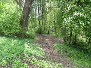
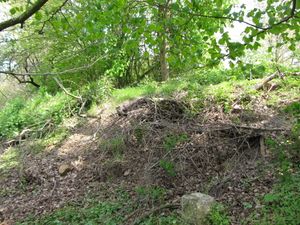
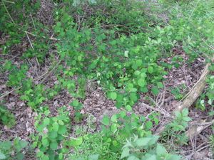
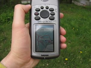
| + | | [[Image:2017-04-30 51 9 GeorgDerReisende 4018.jpg|300px]] || [[Image:2017-04-30 51 9 GeorgDerReisende 4021.jpg|300px]] || But it ended in a sort of sand pit. But the hash should 44 meters away. Climbing zigzag uphill and walking through nettles I came near the hash and found it on a slope with dry plant strings and nettles. | ||
| + | |- | ||
| + | | [[Image:2017-04-30 51 9 GeorgDerReisende 4022.jpg|300px]] || [[Image:2017-04-30 51 9 GeorgDerReisende 4023.jpg|300px]] || Five meters (or so) away. I thought the hash would be on the upper side of the slope. | ||
| + | |- | ||
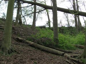
| + | | [[Image:2017-04-30 51 9 GeorgDerReisende 4024.jpg|300px]] || [[Image:2017-04-30 51 9 GeorgDerReisende 4025.jpg|300px]] || I walked around, fought with strings of blackcurrents and dry bushes and trees. And came around to the upper side. | ||
| + | |- | ||
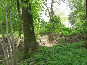
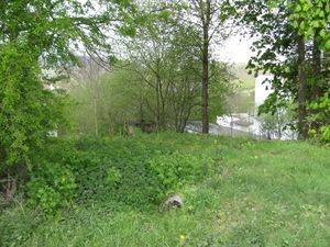
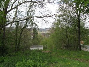
| + | | [[Image:2017-04-30 51 9 GeorgDerReisende 4026.jpg|300px]] || [[Image:2017-04-30 51 9 GeorgDerReisende 4027.jpg|300px]] || And I got a three meter shot. The hash was in the rubble and I didn't climb down to it. And I looked around. But I went back to the field way and lost orientation. So I looked around, but | ||
| + | |- | ||
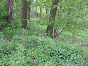
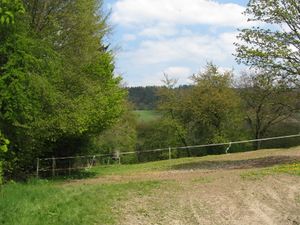
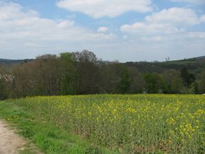
| + | | [[Image:2017-04-30 51 9 GeorgDerReisende 4028.jpg|300px]] to the northwest || [[Image:2017-04-30 51 9 GeorgDerReisende 4029.jpg|300px]] to the northeast || [[Image:2017-04-30 51 9 GeorgDerReisende 4030.jpg|300px]] to the southeast | ||
| + | |- | ||
| + | | [[Image:2017-04-30 51 9 GeorgDerReisende 4031.jpg|300px]] || || and to the southwest. | ||
| + | |- | ||
| + | | [[Image:2017-04-30 51 9 GeorgDerReisende 4033.jpg|300px]] || [[Image:2017-04-30 51 9 GeorgDerReisende 4035.jpg|300px]] || Proof of dance: I came to the hash from both sides by three meters, later I had a look to the site from a higher position. | ||
| + | |} | ||
== Achievements == | == Achievements == | ||
| Line 45: | Line 47: | ||
<!-- Add any achievement ribbons you earned below, or remove this section --> | <!-- Add any achievement ribbons you earned below, or remove this section --> | ||
| − | + | {{Thumbs Up | latitude = 51 | longitude = 9 | date = 2017-04-30 | name = GeorgDerReisende }} | |
| − | |||
| − | |||
| − | + | [[Category:Expeditions]] | |
| − | + | [[Category:Expeditions with photos]] | |
| − | |||
| − | |||
| − | |||
| − | |||
| − | |||
| − | |||
| − | |||
| − | |||
| − | |||
| − | |||
| − | |||
| − | |||
| − | |||
| − | |||
[[Category:Coordinates reached]] | [[Category:Coordinates reached]] | ||
| − | + | {{location|DE|HE|HR}} | |
| − | |||
| − | |||
| − | |||
| − | |||
| − | |||
| − | |||
| − | |||
| − | |||
| − | |||
| − | |||
| − | |||
| − | |||
| − | |||
| − | |||
| − | |||
| − | |||
| − | |||
Latest revision as of 02:27, 16 August 2019
| Sun 30 Apr 2017 in 51,9: 51.0899908, 9.5451590 geohashing.info google osm bing/os kml crox |
Location
The hash lay on a slope of rubbish at the southern edge of Malsfeld.
Participants
Plans
As usual: hitchhiking.
Expedition
Achievements
GeorgDerReisende earned the Thumbs Up Geohash Achievement
|
