Difference between revisions of "2017-09-16 50 11"
From Geohashing
imported>Reinhard (→Expedition) |
imported>FippeBot m (Location) |
||
| Line 30: | Line 30: | ||
[[Category:Expeditions with photos]] | [[Category:Expeditions with photos]] | ||
[[Category:Coordinates reached]] | [[Category:Coordinates reached]] | ||
| + | {{location|DE|TH|AP}} | ||
Latest revision as of 02:58, 16 August 2019
| Sat 16 Sep 2017 in 50,11: 50.8889697, 11.1586446 geohashing.info google osm bing/os kml crox |
Location
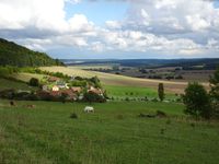
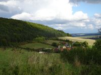
On a meadow close to the Thuringian open-air museum Hohenfelden, Germany.
Participants
Expedition
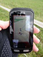
A weekend in Erfurt with my bike in the car - no way to miss this close hashpoint! The hashpoint turned out being situated some meters into an electrically fenced area, but as I was sure the fencing was intended to keep the horses in and not to keep geohashers out, I slipped through between the two electric ribbons and got to the point. Didn't enjoy the idyllic view too long, but rode on to finish my afternoon ride after 60 km.
Tracklog
Photos
|


