Difference between revisions of "2018-08-30 50 12"
From Geohashing
imported>Danatar (Created page with "{{meetup graticule | lat=50 | lon=12 | date=2018-08-30 | graticule_name=Chemnitz | graticule_link=Chemnitz, Germany }}__NOTOC__ == Location == Today's location is the forest...") |
imported>Fippe m (coordinates reached) |
||
| Line 36: | Line 36: | ||
===tracklog=== | ===tracklog=== | ||
''will follow'' | ''will follow'' | ||
| − | |||
[[Category:Expeditions]] | [[Category:Expeditions]] | ||
[[Category:Expeditions with photos]] | [[Category:Expeditions with photos]] | ||
| − | [[Category:Coordinates reached]] | + | [[Category:Coordinates reached]] |
[[Category:Danatar]] | [[Category:Danatar]] | ||
Revision as of 12:30, 25 July 2019
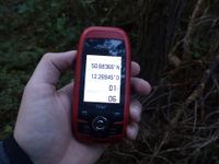
| Thu 30 Aug 2018 in Chemnitz: 50.6836777, 12.2694555 geohashing.info google osm bing/os kml crox |
Location
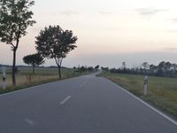
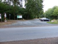
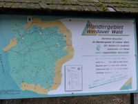
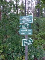
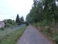
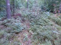
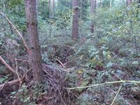
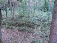
Today's location is the forest near Greiz
Country: Germany; state: Thüringen (Thuringia, EU:DE:TH); district: Greiz; municipality: Mohlsdorf-Teichwolframsdorf
Expedition
Danatar
..
|
tracklog
will follow
