Difference between revisions of "2008-06-07 38 -77"
From Geohashing
imported>Ciel (Added Photos) |
imported>FippeBot m (Location) |
||
| (4 intermediate revisions by 2 users not shown) | |||
| Line 13: | Line 13: | ||
Image:DCEast200806073.jpg | Image:DCEast200806073.jpg | ||
Image:DCEast200806074.jpg | Image:DCEast200806074.jpg | ||
| + | Image:DCEast200806076.jpg | ||
Image:DCEast200806075.jpg | Image:DCEast200806075.jpg | ||
</gallery> | </gallery> | ||
| + | |||
| + | [[Category:Expeditions]] | ||
| + | [[Category:Expeditions with photos]] | ||
| + | [[Category:Coordinates reached]] | ||
| + | {{location|US|MD|CH}} | ||
Latest revision as of 01:24, 6 August 2019
| Sat 7 Jun 2008 in 38,-77: 38.5017842, -77.1143708 geohashing.info google osm bing/os kml crox |
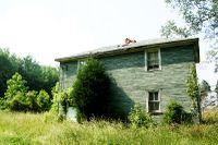
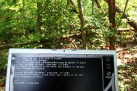
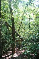
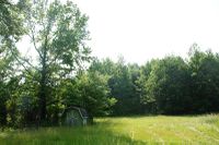
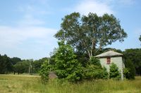
The point was in the woods near an abandoned house in Maryland, due south of the District. Only Ciel made it to the hash point.
