Difference between revisions of "2008-06-15 58 15"
imported>Thomcat (Success/failure category added) |
imported>Thomcat m (close gallery) |
||
| Line 26: | Line 26: | ||
Image:2008-06-15_58_15_6.jpg | Calves a couple of hundred meters to the north | Image:2008-06-15_58_15_6.jpg | Calves a couple of hundred meters to the north | ||
Image:2008-06-15_58_15_3.jpg | Mylinge farm, where the calves lived | Image:2008-06-15_58_15_3.jpg | Mylinge farm, where the calves lived | ||
| + | </gallery> | ||
[[Category:Expeditions]] | [[Category:Expeditions]] | ||
[[Category:Expeditions with photos]] | [[Category:Expeditions with photos]] | ||
[[Category:Coordinates reached]] | [[Category:Coordinates reached]] | ||
Revision as of 13:43, 11 August 2008
| Sun 15 Jun 2008 in Linköping, Sweden: 58.4753808, 15.7612767 geohashing.info google osm bing/os kml crox |
Location
Near the boundary of a harvested and a wheat field 5km north of Linghem, 100m off the local road near Mylinge. A pretty good aerial photograph can be seen at Eniro.
People
Floffe: Armed with just my bike, my crappy phone camera, a water bottle and a memorised map I came on bike from Linköping. The trip there was very nice weatherwise, not too hot and varied sun and clouds. I arrived around 15:50, left at 16:10. The only few cars I saw just passed by, no other hashers. On the way back I was caught by a bit of rain, and had to seek shelter for five minutes under a tree in someone's garden. They weren't home, though.
Pictures
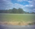
Looking out on the field where the hash is
A little closer
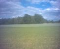
Looking north from the approximate area of the hash
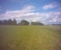
Looking west from the approximate area of the hash
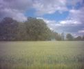
Looking east from the approximate area of the hash
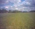
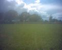
Looking south from the approximate area of the hash
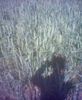
The field just to the east was wheat
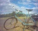
Transportation in front of the hash, even if it's hard to tell from the crappy picture
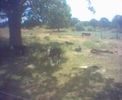
Calves a couple of hundred meters to the north
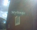
Mylinge farm, where the calves lived


