Difference between revisions of "2020-10-20 -36 146"
From Geohashing
Felix Dance (talk | contribs) (Added images) |
Felix Dance (talk | contribs) m |
||
| Line 1: | Line 1: | ||
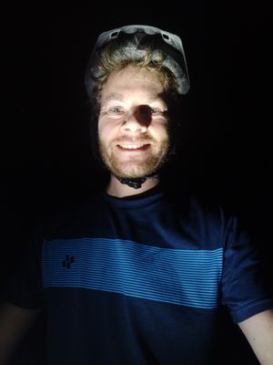
| − | [[Image:{{{image|Geohash.jpg}}}|thumb|left]] | + | [[Image:{{{image|Geohash 2020-10-20 -36 146 02 Felix.jpg}}}|thumb|left]] |
{{meetup graticule | {{meetup graticule | ||
| Line 21: | Line 21: | ||
== Photos == | == Photos == | ||
<gallery> | <gallery> | ||
| − | File:Geohash 2020-10-20 -36 146 01 GPS Proof.jpg | + | File:Geohash 2020-10-20 -36 146 01 GPS Proof.jpg|GPS Proof |
| − | File:Geohash 2020-10-20 -36 146 02 Felix.jpg | + | File:Geohash 2020-10-20 -36 146 02 Felix.jpg|Me at the hash |
| − | File:Geohash 2020-10-20 -36 146 03 Road.jpg | + | File:Geohash 2020-10-20 -36 146 03 Road.jpg|The dark road home |
</gallery> | </gallery> | ||
Revision as of 23:22, 20 October 2020
| Tue 20 Oct 2020 in -36,146: -36.6347122, 146.1511785 geohashing.info google osm bing/os kml crox |
Location
In a cow field late at night east of Benalla, Victoria.
Participants
Expedition
Here is the route I took.
Photos


