Difference between revisions of "2021-09-01 48 8"
From Geohashing
(Add expedition report) |
m (Location) |
||
| Line 28: | Line 28: | ||
[[File:IMG_20210901_190558.jpg|380px]] | [[File:IMG_20210901_190558.jpg|380px]] | ||
[[File:2021-09-01 48 8 gps.png|200px]] | [[File:2021-09-01 48 8 gps.png|200px]] | ||
| + | {{location|DE|BW|FDS}} | ||
Revision as of 19:42, 10 September 2021
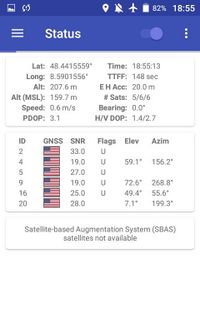
| Wed 1 Sep 2021 in 48,8: 48.4435937, 8.5916255 geohashing.info google osm bing/os kml crox |
Contents
Location
Tree at the border of the village Bittelbronn
Participants
Plans
Fenn plans to ride the bike to the hash. ETA 1800
Expedition
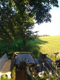
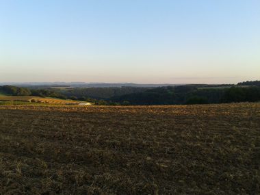
Fenn started his trip with the usual totally unpredictable 1h delay. Hurrying to the coordinates to avoid having to cycle back home in the dark. The exact location was on what looked like a private farm with a gate blocking the way. But Fenn found an excellent spot next to it at the edge of the village Bittelbronn under a big tree with a picnic table. After a quick break he cycled back home into the sunset; enjoying the golden sun rays over the last unharvested corn fields and the far view up to the Alb.


