Difference between revisions of "Map pin"
From Geohashing
imported>Arlo James Barnes m (Created Page) |
m (|) |
||
| (8 intermediate revisions by 3 users not shown) | |||
| Line 1: | Line 1: | ||
| − | + | 📍<--this thing. (https://map.geohashing.site/images/marker-icon.png is the version used in the wiki's maps) | |
| − | + | ||
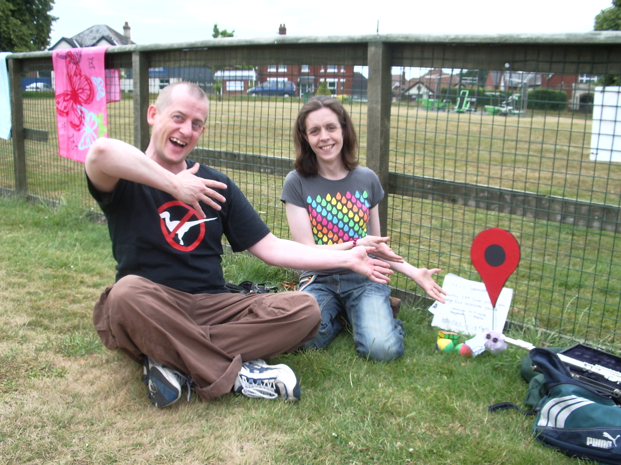
| − | + | Some people bring a big version to the hashpoint instead of or in addition to [[user:crox/Poster]]. For instance, [[user:sermoa]]'s version as shown at [[wikipedia:planking (fad)#Gallery|Wikipedia]] and also in this picture [[file:2009-06-28 50 -1 sermoa and macronencer.jpg|frame]]. | |
| − | |||
| − | |||
| − | |||
Latest revision as of 00:02, 27 February 2022
📍<--this thing. (https://map.geohashing.site/images/marker-icon.png is the version used in the wiki's maps)
Some people bring a big version to the hashpoint instead of or in addition to user:crox/Poster. For instance, user:sermoa's version as shown at Wikipedia and also in this picture
.
