Difference between revisions of "2021-11-13 51 13"
(Report!) |
(+tracklog) |
||
| (One intermediate revision by the same user not shown) | |||
| Line 35: | Line 35: | ||
===tracklog=== | ===tracklog=== | ||
| − | + | [http://www.mygpsfiles.com/app/#https://www.dropbox.com/sh/l38ubdidvmv439v/AADoeK1eUA0Y2o_4qD5U1Pqpa/2021/2021-11-13_51_13-triton.gpx triton tracklog] | |
[[Category:Expeditions]] | [[Category:Expeditions]] | ||
| Line 41: | Line 41: | ||
[[Category:Coordinates reached]] | [[Category:Coordinates reached]] | ||
[[Category:Danatar]] | [[Category:Danatar]] | ||
| − | {{location|DE|SN| | + | {{location|DE|SN|MEI}} |
Latest revision as of 19:25, 27 July 2022
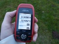
| Sat 13 Nov 2021 in Dresden: 51.3439570, 13.7435236 geohashing.info google osm bing/os kml crox |
Location
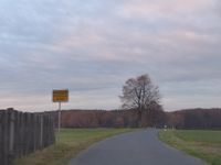
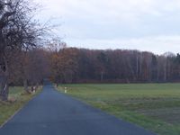
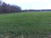
Today's location is in a meadow near Linz, a part of Schönfeld.
Country: Germany; state: Sachsen (Saxony, EU:DE:SN); district: Meißen; municipality: Schönfeld
Expedition
Danatar
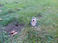
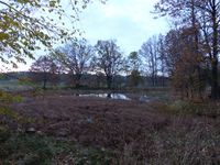
I was on my way to Elsterwerda to give a concert with my orchestra. As the hashpoint was along the way, I decided to visit it. I left the autobahn at the Schönborn exit, drove to and through Linz and parked my car near the spot. A few moments later I was at the spot. I waited until 4 p.m., took some pictures, then I visited the nearby pond.
At the car I changed into my good clothes which I hadn't wanted to risk in any mud, then I continued my journey. The further route I took turned out not to be the best option, leading me along a dirt track full of potholes, but I arrived at Elsterwerda almost on time. The concert went very well, although there were fewer people in the audience than there were musicians. At least there was a concert, because the one that was planned for the following day had already been cancelled due to corona restrictions.
|
