Difference between revisions of "2023-07-19 53 9"
From Geohashing
(Added photos) |
m (Updated photo file names) |
||
| Line 16: | Line 16: | ||
== Expedition == | == Expedition == | ||
=== Rsge === | === Rsge === | ||
| − | + | <br> | |
| + | <br> | ||
| + | <br> | ||
| + | <br> | ||
| + | <br> | ||
| + | <br> | ||
== Photos == | == Photos == | ||
<gallery mode="packed" heights="140px"> | <gallery mode="packed" heights="140px"> | ||
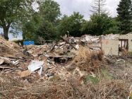
| − | File:2023-07-19 - 01 On way - Broken down house.jpg | + | File:2023-07-19 53 9 - 01 On way - Broken down house.jpg |
| − | File:2023-07-19 - 02 On way - Pano of empty street .jpg | + | File:2023-07-19 53 9 - 02 On way - Pano of empty street .jpg |
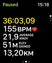
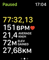
| − | File:2023-07-19 - 03 On way - Bike ride to hash.png | + | File:2023-07-19 53 9 - 03 On way - Bike ride to hash.png |
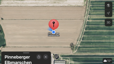
| − | File:2023-07-19 - 04 GPS evidence.png | + | File:2023-07-19 53 9 - 04 GPS evidence.png |
| − | File:2023-07-19 - 05 Feet at hashpoint.jpg | + | File:2023-07-19 53 9 - 05 Feet at hashpoint.jpg |
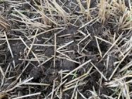
| − | File:2023-07-19 - 06 Marker on ground.jpg | + | File:2023-07-19 53 9 - 06 Marker on ground.jpg |
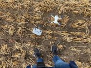
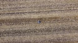
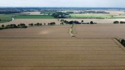
| − | File:2023-07-19 - 07 Drone downwards.jpg | + | File:2023-07-19 53 9 - 07 Drone downwards.jpg |
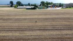
| − | File:2023-07-19 - 08 Drone photo south low.jpg | + | File:2023-07-19 53 9 - 08 Drone photo south low.jpg |
| − | File:2023-07-19 - 09 Drone photo north low.jpg | + | File:2023-07-19 53 9 - 09 Drone photo north low.jpg |
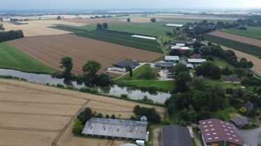
| − | File:2023-07-19 - 10 Drone pano south high.jpg | + | File:2023-07-19 53 9 - 10 Drone pano south high.jpg |
| − | File:2023-07-19 - 11 Drone photo south high.jpg | + | File:2023-07-19 53 9 - 11 Drone photo south high.jpg |
| − | File:2023-07-19 - 12 Drone pano north high.jpg | + | File:2023-07-19 53 9 - 12 Drone pano north high.jpg |
| − | File:2023-07-19 - 13 Drone photo north high.jpg | + | File:2023-07-19 53 9 - 13 Drone photo north high.jpg |
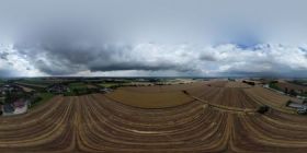
| − | File:2023-07-19 - 14 Drone 360 °.jpg | + | File:2023-07-19 53 9 - 14 Drone 360 °.jpg |
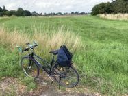
| − | File:2023-07-19 - 15 Rsge's bike before leave.jpg | + | File:2023-07-19 53 9 - 15 Rsge's bike before leave.jpg |
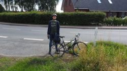
| − | File:2023-07-19 - 16 Rsge before leave.jpg | + | File:2023-07-19 53 9 - 16 Rsge before leave.jpg |
| − | File:2023-07-19 - 17 Bike ride back home.png | + | File:2023-07-19 53 9 - 17 Bike ride back home.png |
| − | File:2023-07-19 - 18 Rsge's bike ride path.jpg | + | File:2023-07-19 53 9 - 18 Rsge's bike ride path.jpg |
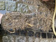
| − | File:2023-07-19 - 19 Dirty soles.jpg | + | File:2023-07-19 53 9 - 19 Dirty soles.jpg |
</gallery> | </gallery> | ||
Revision as of 22:21, 19 July 2023
| Wed 19 Jul 2023 in 53,9: 53.7032615, 9.5889059 geohashing.info google osm bing/os kml crox |
Location
In the middle of a crop field in Seester.
Participants
Plans
Expedition
Rsge
Photos

