Difference between revisions of "2009-02-27 33 -83"
From Geohashing
imported>NWoodruff m (→Gallery) |
m (per Renaming Proposal) |
||
| (3 intermediate revisions by 3 users not shown) | |||
| Line 10: | Line 10: | ||
== Graticule == | == Graticule == | ||
| − | [ | + | [[Athens, Georgia|Athens]] |
== About == | == About == | ||
| Line 23: | Line 23: | ||
<gallery caption="Photo Gallery" widths="200px" heights="200px" perrow="3"> | <gallery caption="Photo Gallery" widths="200px" heights="200px" perrow="3"> | ||
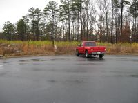
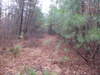
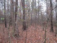
| − | Image:2009022733-83NW01.JPG|The ride looking north | + | Image:2009022733-83NW01.JPG|The ride looking north east the direction that I need to hike to find the hash point. |
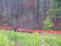
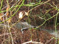
Image:2009022733-83NW02.JPG|Looking down the steep incline. Probably a good 50 feet down. | Image:2009022733-83NW02.JPG|Looking down the steep incline. Probably a good 50 feet down. | ||
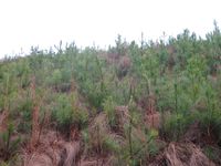
Image:2009022733-83NW03.JPG|Looking back up the incline. | Image:2009022733-83NW03.JPG|Looking back up the incline. | ||
| Line 32: | Line 32: | ||
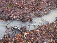
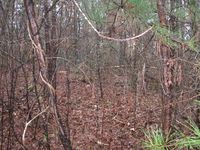
Image:2009022733-83NW08.JPG|I calculate from the Google map that the hash point is about 75 feet from the river and road. It is that direction. That should get me within the required 10 meters. | Image:2009022733-83NW08.JPG|I calculate from the Google map that the hash point is about 75 feet from the river and road. It is that direction. That should get me within the required 10 meters. | ||
Image:2009022733-83NW09.JPG|Me standing on the hash point. | Image:2009022733-83NW09.JPG|Me standing on the hash point. | ||
| − | Image:2009022733-83NW10.JPG|Looking South | + | Image:2009022733-83NW10.JPG|Looking South West at the hill that I had to come down. I wanted to make sure that I am in the correct spot. |
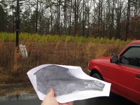
Image:2009022733-84NW11.JPG|This is how I made sure I was going the correct direction. | Image:2009022733-84NW11.JPG|This is how I made sure I was going the correct direction. | ||
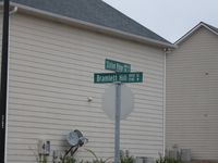
Image:2009022733-83NW12.JPG|A picture of the cross streets. | Image:2009022733-83NW12.JPG|A picture of the cross streets. | ||
| Line 41: | Line 41: | ||
{{Minesweeper geohash | graticule = Atlanta, Georgia | ranknumber = 3 | n = true | ne = true | e = true |name = NWoodruff }} | {{Minesweeper geohash | graticule = Atlanta, Georgia | ranknumber = 3 | n = true | ne = true | e = true |name = NWoodruff }} | ||
| − | {{ | + | {{Graticule unlocked | latitude = 33 | longitude = -83 | date = 2009-02-27 }} |
[[Category:Expeditions]] | [[Category:Expeditions]] | ||
[[Category:Expeditions with photos]] | [[Category:Expeditions with photos]] | ||
[[Category:Coordinates reached]] | [[Category:Coordinates reached]] | ||
| + | {{location|US|GA|GW}} | ||
Latest revision as of 06:36, 20 March 2024
| Fri 27 Feb 2009 in Athens: 33.9365708, -83.9058680 geohashing.info google osm bing/os kml crox |
Graticule
About
Expedition
NWoodruff
Gallery
- Photo Gallery
Achievements
NWoodruff achieved level 3 of the Minesweeper Geohash achievement
|
This user earned the Graticule Unlocked Achievement
|
