Difference between revisions of "2024-04-13 47 8"
Globescorer (talk | contribs) (→Photos) |
Globescorer (talk | contribs) (→Expedition) |
||
| (6 intermediate revisions by 3 users not shown) | |||
| Line 2: | Line 2: | ||
==Location== | ==Location== | ||
| − | This Geohash is located in a forest near Schaffhausen (SH). | + | This Geohash is located in a forest near Schaffhausen-Herblingen (SH). |
==Participants== | ==Participants== | ||
| Line 15: | Line 15: | ||
So I dropped off my son and drove to a parking lot near the hashpoint. | So I dropped off my son and drove to a parking lot near the hashpoint. | ||
| − | + | Afterwards I went for a short walk into the forest. in a straight line it would be just over 400m, but today I'm not the Juggenaut... | |
| + | First in a Z line on different paths. On the way the path bordered a gravel pit. Had an interesting sign with information and an even more interesting inscription on the fence post: "All we have is now". | ||
| + | This was the philosophical part of the expedition. | ||
| + | A few meters further I had to leave the path and fight my way through the undergrowth. In between I discovered a really photogenic moss-covered tree trunk. After the obligatory hashdance, I was able to take the screenshot at the right time. After a few photos including a selfie, I made my way back. | ||
== Photos == | == Photos == | ||
<gallery mode="packed" heights="250px"> | <gallery mode="packed" heights="250px"> | ||
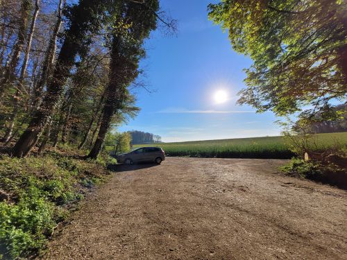
File:2024-04-13 47 8 parking.jpg |Parking lot: Edge of the forest | File:2024-04-13 47 8 parking.jpg |Parking lot: Edge of the forest | ||
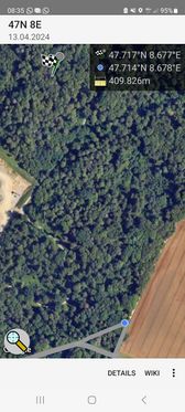
| + | File:2024-04-13 47 8 distance.jpg |the distance to go | ||
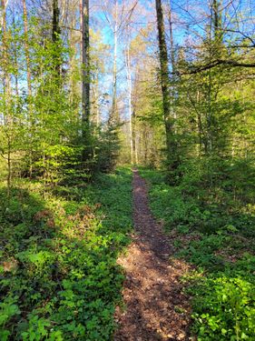
File:2024-04-13 47 8 way to go 1.jpg |Way to go 1 | File:2024-04-13 47 8 way to go 1.jpg |Way to go 1 | ||
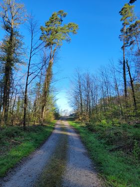
File:2024-04-13 47 8 way to go 2.jpg |Way to go 2 | File:2024-04-13 47 8 way to go 2.jpg |Way to go 2 | ||
| Line 32: | Line 36: | ||
File:2024-04-13 47 8 The Geohash.jpg |the geohash | File:2024-04-13 47 8 The Geohash.jpg |the geohash | ||
File:2024-04-13 47 8 grin.jpg |grin | File:2024-04-13 47 8 grin.jpg |grin | ||
| − | File:2024-04-13 47 8 panorama.jpg | + | File:2024-04-13 47 8 panorama.jpg |Panorama |
| − | File:2024-04-13 47 8 | + | File:2024-04-13 47 8 Proof 1.jpg |Proof 1 |
| − | File:2024-04-13 47 8 | + | File:2024-04-13 47 8 Proof 2.jpg |Proof 2 |
</gallery> | </gallery> | ||
== Ribbons == | == Ribbons == | ||
{{land geohash|date=2024-04-13|latitude=47|longitude=8|name=[[User:globescorer|globescorer]]|image=2024-04-13 47 8 The Geohash.jpg}} | {{land geohash|date=2024-04-13|latitude=47|longitude=8|name=[[User:globescorer|globescorer]]|image=2024-04-13 47 8 The Geohash.jpg}} | ||
| + | |||
| + | __NOTOC__ | ||
| + | [[Category:Expeditions]] | ||
| + | [[Category:Coordinates reached]] | ||
| + | [[Category:Expeditions with photos]] | ||
| + | {{location|CH|SH}} | ||
Latest revision as of 07:43, 15 April 2024
| Sat 13 Apr 2024 in 47,8: 47.7172295, 8.6765203 geohashing.info google osm bing/os kml crox |
Location
This Geohash is located in a forest near Schaffhausen-Herblingen (SH).
Participants
Plans
going there just after I dropped my son off at training.
Expedition
Success!
So I dropped off my son and drove to a parking lot near the hashpoint.
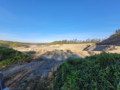
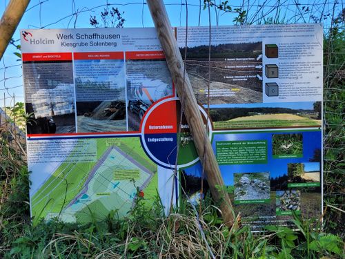
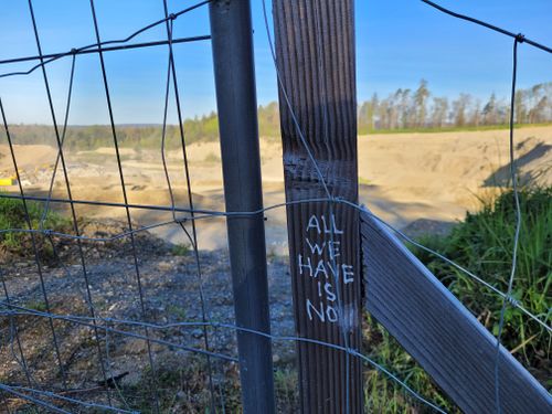
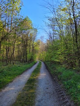
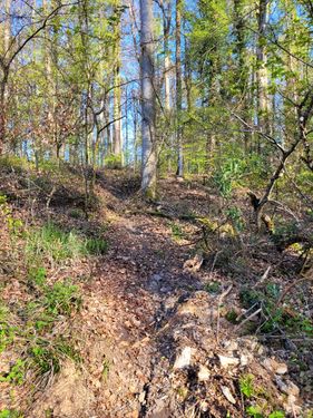
Afterwards I went for a short walk into the forest. in a straight line it would be just over 400m, but today I'm not the Juggenaut... First in a Z line on different paths. On the way the path bordered a gravel pit. Had an interesting sign with information and an even more interesting inscription on the fence post: "All we have is now". This was the philosophical part of the expedition.
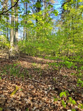
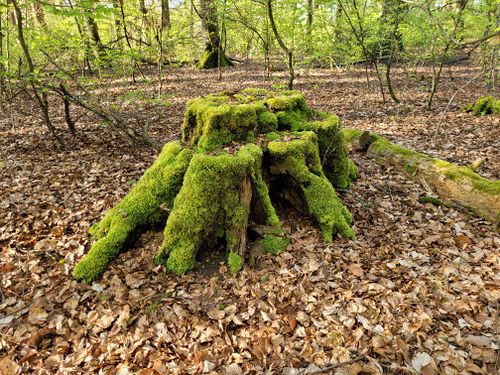
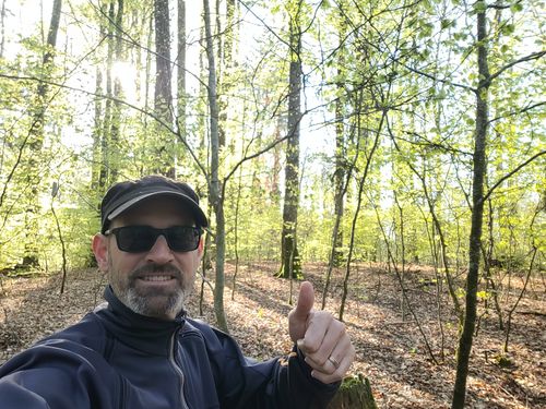
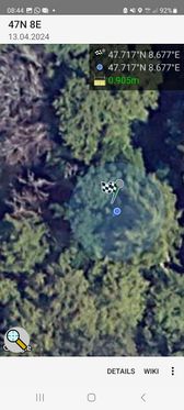
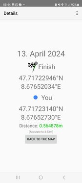
A few meters further I had to leave the path and fight my way through the undergrowth. In between I discovered a really photogenic moss-covered tree trunk. After the obligatory hashdance, I was able to take the screenshot at the right time. After a few photos including a selfie, I made my way back.
Photos
Ribbons
globescorer earned the Land geohash achievement
|
