Difference between revisions of "2024-06-25 50 11"
From Geohashing
(report) |
(→Photos) |
||
| Line 23: | Line 23: | ||
== Photos == | == Photos == | ||
{{gallery|width=200|height=200|lines=1 | {{gallery|width=200|height=200|lines=1 | ||
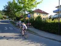
| − | |Image:20240625-50N11E-1|Fuchslöcherstraße | + | |Image:20240625-50N11E-1.jpg|Fuchslöcherstraße |
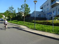
| − | |Image:20240625-50N11E-2|Am Dachsbau | + | |Image:20240625-50N11E-2.jpg|Am Dachsbau |
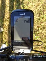
| − | |Image:20240625-50N11E-3|Coordinates reached | + | |Image:20240625-50N11E-3.jpg|Coordinates reached |
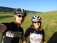
| − | |Image:20240625-50N11E-4|Reinhard and Manu at the hash | + | |Image:20240625-50N11E-4.jpg|Reinhard and Manu at the hash |
}} | }} | ||
Latest revision as of 14:00, 26 June 2024
| Tue 25 Jun 2024 in 50,11: 50.9279647, 11.6341936 geohashing.info google osm bing/os kml crox |
Location
At the edge of a field near houses in the eastern part of Jena (Thuringia, Germany).
Participants
Expedition
Manu and Reinhard cycled there together at the beginning of their 47 km evening ride.
Tracklog
Photos
|


