Difference between revisions of "2024-06-26 30 -87"
From Geohashing
m (photo does not seem to depict the middle of a swamp) |
|||
| (8 intermediate revisions by one other user not shown) | |||
| Line 11: | Line 11: | ||
== Photos == | == Photos == | ||
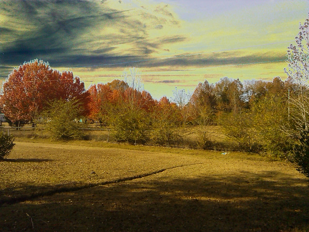
| − | [[File: | + | [[File:Screenshot2024-06-26.jpg]] |
| + | |||
| + | [[File:Screenshot2024-06-26e.jpg.jpg]] | ||
| + | |||
| + | == Expeditions == | ||
| + | |||
| + | |||
| + | __NOTOC__ | ||
| + | [[Category:Expeditions]] | ||
| + | [[Category:Expeditions with photos]] | ||
| + | [[Category:Coordinates not reached]] | ||
| + | [[Category:Not reached - Mother Nature]] | ||
| + | {{location|US|FL|ES}} | ||
Latest revision as of 12:37, 10 July 2024
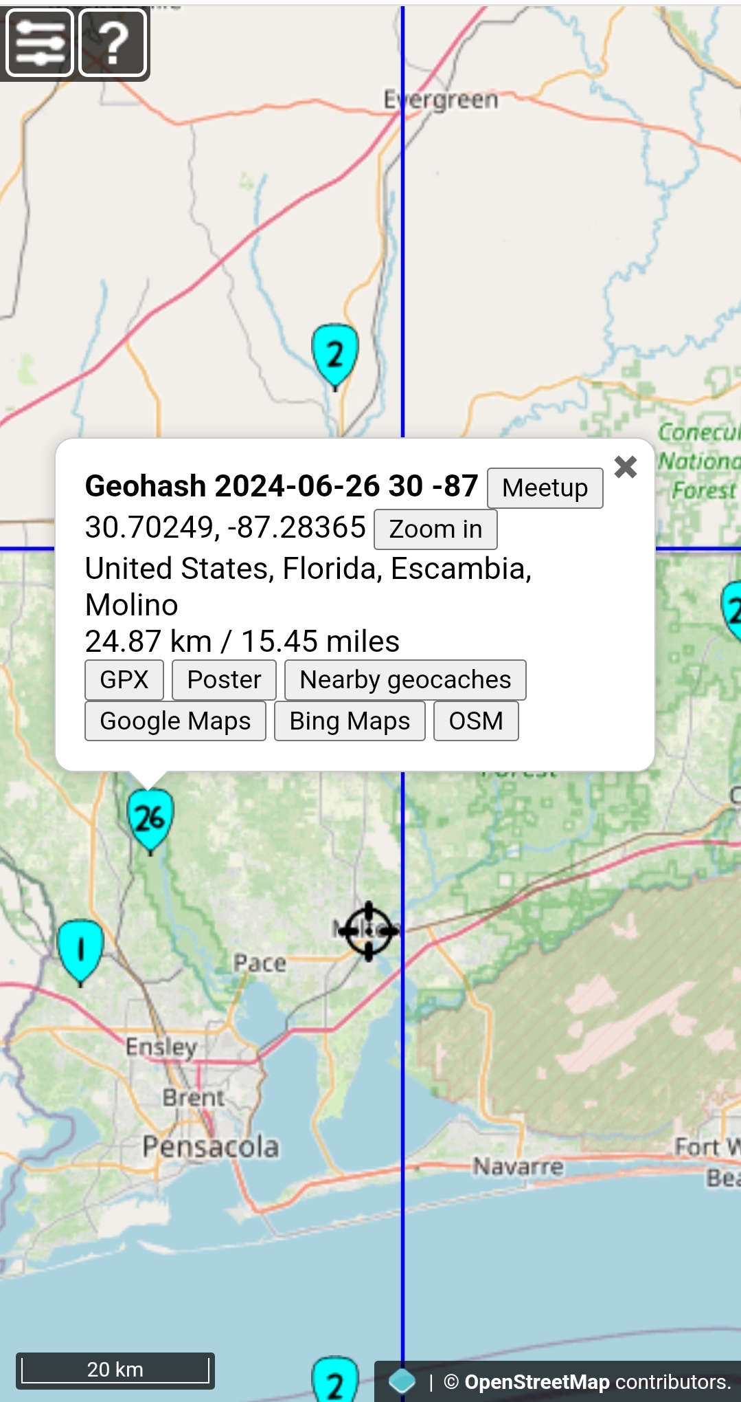
| Wed 26 Jun 2024 in 30,-87: 30.7024870, -87.2836459 geohashing.info google osm bing/os kml crox |
Location
The Geohash location in surrounding area of Molino, Florida graticule (30, -87)
Escambia, Florida graticule 30,-87

