Difference between revisions of "2024-04-01 31 35"
(→Achievements) |
(→Expedition) |
||
| (5 intermediate revisions by 3 users not shown) | |||
| Line 1: | Line 1: | ||
| − | |||
| − | |||
| − | |||
| − | |||
| − | |||
| − | |||
{{meetup graticule | {{meetup graticule | ||
| − | | lat= | + | | lat=31 |
| − | | lon= | + | | lon=35 |
| − | | date= | + | | date=2024-04-01 |
}} | }} | ||
== Location == | == Location == | ||
| Line 15: | Line 9: | ||
== Participants == | == Participants == | ||
[[User:Yosef|Yosef]] ([[User talk:Yosef|talk]]) 09:09, 2 April 2024 (UTC), an idiot for doing this alone because there is little cell phone reception. | [[User:Yosef|Yosef]] ([[User talk:Yosef|talk]]) 09:09, 2 April 2024 (UTC), an idiot for doing this alone because there is little cell phone reception. | ||
| − | |||
| − | |||
| − | |||
== Plans == | == Plans == | ||
| Line 23: | Line 14: | ||
== Expedition == | == Expedition == | ||
| + | It wasn't as scary as I think it was but that's the 21st century. | ||
| + | I drove about an hour and a half to a resort village in the desert above the Dead Sea. Then I started wandering out. I told the ranger where I was going to be and we traded phone numbers. Getting to the hashpoint was relatively easy even though the area was completely desolate and nobody was around. I just had to follow the trail. | ||
| + | On the way back, a friend recommended that I go via the channel arroyo (dry stream). That was pretty cool. There were little pools along the way that had not yet dried up. Often they completely blocked the path. There was a reasonable amount of bouldering but nothing above three meters. I had to be intelligent about where I put my phone so that it would not get wet. I think I put it in a bag with a peach so it did get a little sticky but not soaked. | ||
| + | |||
| + | On the way out of the arroyo I saw a turn off into an archaeological cave. That was awesome. It turns out that that was the cave where the first letter from the General Bar Kochba (Died ~135 AD) was found. You had to climb hand holds that were bolted into the side of a cliff to get there. | ||
| + | |||
| + | I checked myself for sunburn on the way back and set up a doctor's appointment just to make sure. The doctor said that I was fine and I went to visit a nearby friend. | ||
== Photos == | == Photos == | ||
| − | < | + | {{clear}} |
| − | + | <gallery mode="packed" heights="200px"> | |
| − | -- | + | File:2024-04-01_31_35_A.jpg |
| − | + | File:2024-04-01_31_35_B.jpg | |
| − | + | File:2024-04-01_31_35_C.jpg | |
| + | File:2024-04-01_31_35_D.jpg | ||
| + | File:2024-04-01_31_35_E.jpg | ||
| + | File:2024-04-01_31_35_F.jpg | ||
| + | File:2024-04-01_31_35_G.jpg | ||
| + | File:2024-04-01_31_35_H.jpg | ||
| + | File:2024-04-01_31_35_I.jpg | ||
| + | File:2024-04-01_31_35_J.jpg | ||
| + | File:2024-04-01_31_35_K.jpg | ||
| + | File:2024-04-01_31_35_L.jpg | ||
| + | File:2024-04-01_31_35_M.jpg | ||
| + | File:2024-04-01_31_35_N.jpg | ||
| + | File:2024-04-01_31_35_O.jpg | ||
| + | File:2024-04-01_31_35_P.jpg | ||
| + | File:2024-04-01_31_35_Q.jpg | ||
| + | File:2024-04-01_31_35_R.jpg | ||
| + | File:2024-04-01_31_35_S.jpg | ||
| + | File:2024-04-01_31_35_T.jpg | ||
| + | File:2024-04-01_31_35_U.jpg | ||
| + | File:2024-04-01_31_35_V.jpg | ||
| + | File:2024-04-01_31_35_W.jpg | ||
| + | File:2024-04-01_31_35_X.jpg | ||
</gallery> | </gallery> | ||
| Line 37: | Line 56: | ||
== Achievements == | == Achievements == | ||
{{#vardefine:ribbonwidth|100%}} | {{#vardefine:ribbonwidth|100%}} | ||
| − | + | ||
__NOTOC__ | __NOTOC__ | ||
| − | |||
| − | |||
| − | |||
| − | |||
| − | |||
[[Category:Expeditions]] | [[Category:Expeditions]] | ||
[[Category:Expeditions with photos]] | [[Category:Expeditions with photos]] | ||
| − | + | [[Category:Coordinates reached]] | |
| − | + | {{location|IL|YS}} | |
| − | [[Category:Coordinates | ||
| − | |||
| − | |||
| − | |||
| − | |||
| − | |||
| − | |||
Latest revision as of 02:45, 2 October 2024
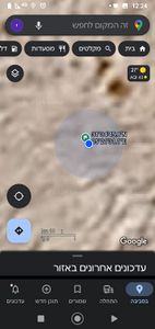
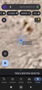
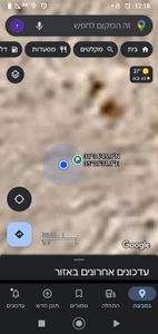
| Mon 1 Apr 2024 in 31,35: 31.5793903, 35.3586298 geohashing.info google osm bing/os kml crox |
Location
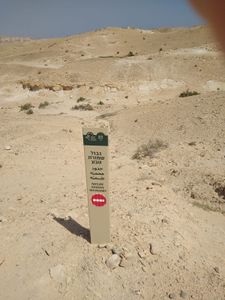
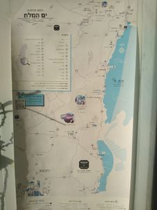
Metzukei Dargot: 500 meters off trail in the desert
Participants
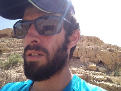
Yosef (talk) 09:09, 2 April 2024 (UTC), an idiot for doing this alone because there is little cell phone reception.
Plans
I asked a neighbor about the area because it looked like it was a restricted military zone but he said it was just fine. He said drive to the parking lot because it was an extra five kilometers back and forth walk if you took the bus.
Expedition
It wasn't as scary as I think it was but that's the 21st century.
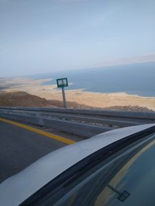
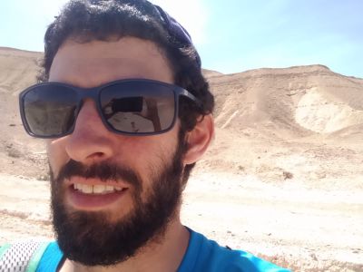
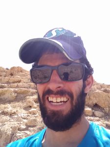
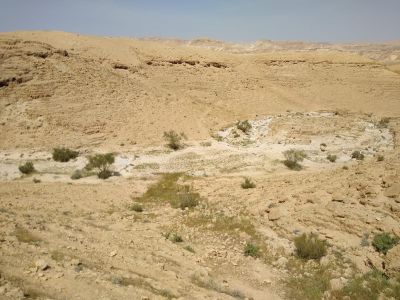
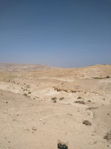
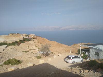
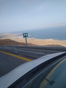
I drove about an hour and a half to a resort village in the desert above the Dead Sea. Then I started wandering out. I told the ranger where I was going to be and we traded phone numbers. Getting to the hashpoint was relatively easy even though the area was completely desolate and nobody was around. I just had to follow the trail.
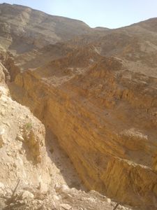
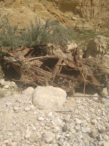
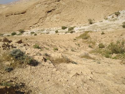
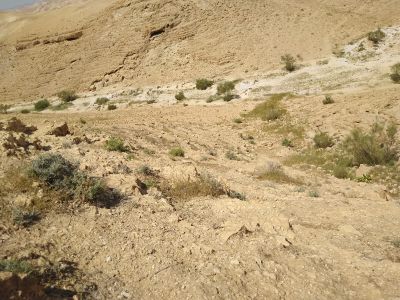
On the way back, a friend recommended that I go via the channel arroyo (dry stream). That was pretty cool. There were little pools along the way that had not yet dried up. Often they completely blocked the path. There was a reasonable amount of bouldering but nothing above three meters. I had to be intelligent about where I put my phone so that it would not get wet. I think I put it in a bag with a peach so it did get a little sticky but not soaked.
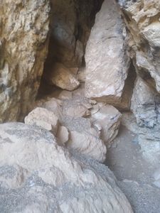
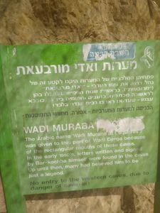
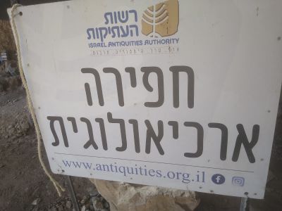
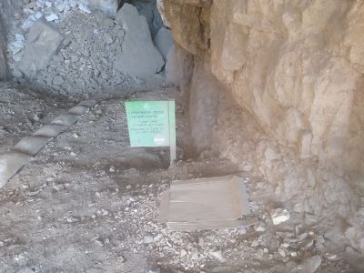
On the way out of the arroyo I saw a turn off into an archaeological cave. That was awesome. It turns out that that was the cave where the first letter from the General Bar Kochba (Died ~135 AD) was found. You had to climb hand holds that were bolted into the side of a cliff to get there.
I checked myself for sunburn on the way back and set up a doctor's appointment just to make sure. The doctor said that I was fine and I went to visit a nearby friend.
Photos
