Difference between revisions of "2008-10-10"
From Geohashing
imported>Aperfectring |
imported>ReletBot m (moving from Template:auto gallery to Template:auto gallery2) |
||
| Line 1: | Line 1: | ||
<noinclude>{{date navigation}}</noinclude> | <noinclude>{{date navigation}}</noinclude> | ||
{{auto coordinates}} | {{auto coordinates}} | ||
| − | {{auto | + | {{auto gallery2|2008-10-10}} |
<noinclude>{{expedition summaries|2008-10-10}}</noinclude> | <noinclude>{{expedition summaries|2008-10-10}}</noinclude> | ||
Latest revision as of 22:21, 23 August 2010
Expedition Archives from October 2008
Thursday 9 October 2008 | Friday 10 October 2008 | Saturday 11 October 2008
See also: Category:Meetup on 2008-10-10
Coordinates
West of -30°: .4443992, .9089880
East of -30°: .3017836, .9708143
Globalhash:
-35.678959898521,169.493146819060
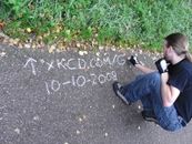
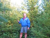
Photo Gallery
Expeditions and Plans
| 2008-10-10 | ||
|---|---|---|
| Mount Gambier, Australia | Kate | next to the border track that runs along the border of South Australia and ... |
| San Luis Obispo, California | Someone went | A prime location for the next geohash. |
| Seattle, Washington | Thomcat | Just off the Mission Creek Off Road Vehicle trail in the Tahuya State Fores... |
| Enschede, Netherlands | Arvid | Arvid's tracklog by bicycle. Arvid left home around 10:30 and arrived at ... |


