Difference between revisions of "2008-12-05 -20 146"
From Geohashing
imported>Mattyk |
m (per Renaming Proposal) |
||
| (6 intermediate revisions by 3 users not shown) | |||
| Line 3: | Line 3: | ||
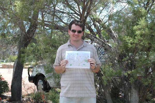
[[Image:2008-12-05 -20 146.jpg|frame|left|[[User:Mattyk|Matty]] at the point, with his trusty map.]] | [[Image:2008-12-05 -20 146.jpg|frame|left|[[User:Mattyk|Matty]] at the point, with his trusty map.]] | ||
| + | |||
| + | [[Image:2008-12-05 -20 146 pano.jpg|thumb|600px|left|Obligatory Panorama on the point]] | ||
<br style="clear:both"> | <br style="clear:both"> | ||
I spontaneously decided to go for a drive. 130km later I found myself outside the Charters Towers [http://www.mormon.org/ Church of Jesus Christ of Latter-Day Saints]. So I took a photo. | I spontaneously decided to go for a drive. 130km later I found myself outside the Charters Towers [http://www.mormon.org/ Church of Jesus Christ of Latter-Day Saints]. So I took a photo. | ||
| Line 8: | Line 10: | ||
Then I drove home. | Then I drove home. | ||
| − | If you're interested, I decided on the way home to stop and photograph every named river, creek, and gully. | + | If you're interested, I decided on the way home to stop and photograph every named river, creek, and gully. See the photo gallery [http://geohashing.kerwin.net.au/2008-12-05/creeks/ here]. |
| − | {{ | + | {{Graticule unlocked|latitude=-20|longitude=146|date=2008-12-05|name=[[User:Mattyk|Matty]]|image=2008-12-05 -20 146.jpg}} |
{{No batteries geohash|latitude=-20|longitude=146|date=2008-12-05|name=[[User:Mattyk|Matty]]|image=2008-12-05 -20 146.jpg}} | {{No batteries geohash|latitude=-20|longitude=146|date=2008-12-05|name=[[User:Mattyk|Matty]]|image=2008-12-05 -20 146.jpg}} | ||
[[Category:Meetup on 2008-12-05]] | [[Category:Meetup on 2008-12-05]] | ||
[[Category:Expeditions]] | [[Category:Expeditions]] | ||
[[Category:Expeditions with photos]] | [[Category:Expeditions with photos]] | ||
| + | [[Category:Expedition without GPS]] | ||
[[Category:Coordinates reached]] | [[Category:Coordinates reached]] | ||
| + | {{location|AU|QLD|CT}} | ||
Latest revision as of 06:41, 20 March 2024
| Fri 5 Dec 2008 in -20,146: -20.0826377, 146.2566197 geohashing.info google osm bing/os kml crox |

Matty at the point, with his trusty map.
I spontaneously decided to go for a drive. 130km later I found myself outside the Charters Towers Church of Jesus Christ of Latter-Day Saints. So I took a photo.
Then I drove home.
If you're interested, I decided on the way home to stop and photograph every named river, creek, and gully. See the photo gallery here.
Matty earned the Graticule Unlocked Achievement
|
Matty earned the No Batteries Geohash Achievement
|