Difference between revisions of "2009-04-04 36 -77"
imported>FippeBot m (Location) |
(per Renaming Proposal) |
||
| (One intermediate revision by the same user not shown) | |||
| Line 1: | Line 1: | ||
__NOTOC__ | __NOTOC__ | ||
{{meetup graticule | {{meetup graticule | ||
| − | |||
| lat=36 | | lat=36 | ||
| lon=-77 | | lon=-77 | ||
| − | | date=2009-04-04}} | + | | date=2009-04-04 |
| + | }} | ||
==Report== | ==Report== | ||
| Line 45: | Line 45: | ||
==Achievements== | ==Achievements== | ||
<gallery widths="100px" align=center> | <gallery widths="100px" align=center> | ||
| − | Image: | + | Image:DWN_Old_Icon.png|[[Done with Nature consolation prize]] |
Image:Geotrash.png|[[Geotrash_Geohash|Geotrash Geobear]] | Image:Geotrash.png|[[Geotrash_Geohash|Geotrash Geobear]] | ||
| Line 52: | Line 52: | ||
[[Category:Expeditions]] | [[Category:Expeditions]] | ||
[[Category:Expeditions with photos]] | [[Category:Expeditions with photos]] | ||
| − | [[Category: | + | [[Category:Done with Nature_consolation_prize]] |
[[Category:Geotrash_achievement|Geotrash Achievement]] | [[Category:Geotrash_achievement|Geotrash Achievement]] | ||
[[Category:Coordinates not reached]] | [[Category:Coordinates not reached]] | ||
| + | [[Category:Not reached - Injury]] | ||
{{location|US|NC|WR}} | {{location|US|NC|WR}} | ||
Latest revision as of 13:26, 2 April 2024
| Sat 4 Apr 2009 in 36,-77: 36.3420643, -77.9893883 geohashing.info google osm bing/os kml crox |
Report
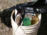
We started out the day canoeing Little Fishing Creek in Medoc Mountain State Park to pick up trash along the creek and the canoe exit point. We got home about 1300 and cleaned up/dried off/rested before heading back out for the Saturday meetup.
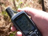
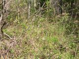
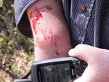
We parked at Reedy Creek Baptist Church, about ½ mile/0.8km from the hash site. Unfortunately, we encountered dense briars enroute to the hash site and soon were cut and jabbed to be point of pain and bleeding. Coupled with the fact that the GPS battery dropped from 4 bars to 1 in 10 minutes, we elected to surrender.
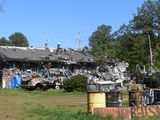
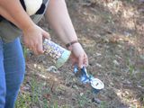
We then geotrashed from the entrance point back to the church.
Participants
Eisen & Bear - NCBears
Geological Features
Located on hunting club land - access allowed for unarmed persons only. Geohash was located ~1/4 mile/0.4 km from dirt road, inside dense new growth pines and hardwoods.
Animal Encounters
Wildlife – Deer and turkey prints.
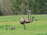
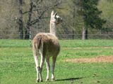
Farm animals – Goats, cows, horses, llamas, emus!!??
Weather
83.7°F/28.7°C, clear skies, winds variable 5+/-mph/8kph
