Difference between revisions of "2009-08-11 51 8"
imported>El muerte verde |
m (per Renaming Proposal) |
||
| (One intermediate revision by one other user not shown) | |||
| Line 33: | Line 33: | ||
== Achievements == | == Achievements == | ||
| − | {{ | + | {{done with nature | latitude = 51 | longitude = 8 | date = 2009-08-11 | name = El muerte verde }} |
| Line 40: | Line 40: | ||
[[Category:Coordinates not reached]] | [[Category:Coordinates not reached]] | ||
[[Category:Not reached - Mother Nature]] | [[Category:Not reached - Mother Nature]] | ||
| + | {{location|DE|NW|GT}} | ||
Latest revision as of 14:43, 2 April 2024
| Tue 11 Aug 2009 in 51,8: 51.8933175, 8.4837397 geohashing.info google osm bing/os kml crox |
Location
In the middle of a field north of north-west of Verl and east of Sürenheide.
Participants
Expedition
I'm planning on cycling up the L756 first till I arrive in Hövelhof. There I switch onto the L757 all the way to Verl. Switching again onto the L787 this time and cycling the Bükersweg to a little patch of trees (doesn't really look like a forest to me, way too small). From there on it's time to walk straight south through the trees and onto a field to reach the hashpoint.
Home I'll most likely use the same way, thus cycling a bit over 50km this time.
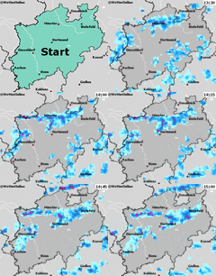
Ah how typical, just as I had everything packed and went out of the house it started raining heavily. A look at a weather page online showed that even more rain is on the way. Abandoned my plan and decided to try my luck another day.
Photos
Achievements
El muerte verde earned the Done with Nature consolation prize
|

