Difference between revisions of "2009-08-14 50 11"
From Geohashing
imported>Reinhard m (dot) |
imported>FippeBot m (Location) |
||
| (One intermediate revision by one other user not shown) | |||
| Line 5: | Line 5: | ||
| date=2009-08-14 | | date=2009-08-14 | ||
}} | }} | ||
| + | == Participants == | ||
| + | * [[User:Reinhard|Reinhard]] | ||
| + | == Expedition == | ||
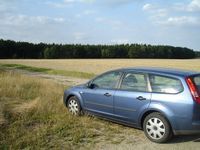
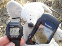
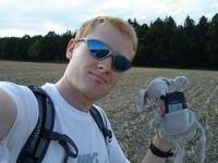
[[User:Reinhard|Reinhard]] drove to Fürth this weekend and had to pass the Friday geohash near Hermsdorfer Kreuz (A4/A9). Leaving the A9 at exit Hermsdorf-Süd it was just a detour of 11 km, so Reinhard went to the geohash, which was located on a field. When he got there, he could park at the beginning of a field path and walk the 600 m to the hashpoint, because the field was already cropped perfectly. Nothing more to say about that easy hash expedition. | [[User:Reinhard|Reinhard]] drove to Fürth this weekend and had to pass the Friday geohash near Hermsdorfer Kreuz (A4/A9). Leaving the A9 at exit Hermsdorf-Süd it was just a detour of 11 km, so Reinhard went to the geohash, which was located on a field. When he got there, he could park at the beginning of a field path and walk the 600 m to the hashpoint, because the field was already cropped perfectly. Nothing more to say about that easy hash expedition. | ||
| Line 19: | Line 22: | ||
[[Category:Expeditions with photos]] | [[Category:Expeditions with photos]] | ||
[[Category:Coordinates reached]] | [[Category:Coordinates reached]] | ||
| + | {{location|DE|TH|GRZ}} | ||
Latest revision as of 05:11, 8 August 2019
| Fri 14 Aug 2009 in 50,11: 50.8583835, 11.9225393 geohashing.info google osm bing/os kml crox |
Participants
Expedition
Reinhard drove to Fürth this weekend and had to pass the Friday geohash near Hermsdorfer Kreuz (A4/A9). Leaving the A9 at exit Hermsdorf-Süd it was just a detour of 11 km, so Reinhard went to the geohash, which was located on a field. When he got there, he could park at the beginning of a field path and walk the 600 m to the hashpoint, because the field was already cropped perfectly. Nothing more to say about that easy hash expedition.
- Photo Gallery


