Difference between revisions of "2009-10-30 39 -105"
imported>Cmanb m (→Location) |
|||
| (One intermediate revision by one other user not shown) | |||
| Line 3: | Line 3: | ||
| lon=-105 | | lon=-105 | ||
| date=2009-10-30 | | date=2009-10-30 | ||
| − | | graticule_name= | + | | graticule_name=West Denver |
| − | | graticule_link=Denver, Colorado}} | + | | graticule_link=Denver West, Colorado}} |
== Location == | == Location == | ||
| Line 97: | Line 97: | ||
| name = Chrisman | | name = Chrisman | ||
}} | }} | ||
| + | {{location|US|CO|JE}} | ||
Latest revision as of 14:46, 29 January 2021
| Fri 30 Oct 2009 in West Denver: 39.7317265, -105.0612421 geohashing.info google osm bing/os kml crox |
Location
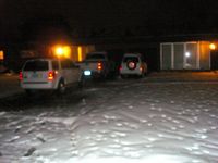
A driveway in residential Wheat Ridge, a suburb of sorts of Denver, Colorado. At approximately 920 Gray Street.
Participants
Expedition
Coordinates reached!
A short retelling. Follow along with the markers at mapmyride
0.00 miles - Begin at Benedict Fountain Park.
0.84 miles - Loop around the state capitol while continuing south. So pretty all lit up at night!
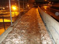
2.65 miles - Reach the east side of the 8th Avenue foot bridge. It's almost exactly 0.5 miles, and was completely flooded. The road was fine and dry, separated by a median. But the ice slush was ankle deep most of the way. By the time I got back home, my feet were frigid.
5.42 miles - Pedaling along a pretty little creek trail, when BOOM! Dead end into a "TRAIL CLOSED" barricade. I might have compromised my Tron achievement here, but I carefully turned around and continued on the other side of the path back out to the street, where I turned up and continued down a side street.
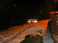
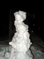
6.50 miles - Hash site. Google Maps and Google Earth agreed that the hash was basically on the front of this house, by the left windows. Upon arriving, I became uncomfortably aware that I was a Big Dude on a bicycle lurking outside somebody's house after dark. I did not linger. Nor did I come close to walking up to the house and touching the window. I decided that if I was a snowball throw's length away, then I was close enough. I hastily made a pitiful little snowman, left the marker by the mailbox, and left. In my rush, I forgot to get a picture of me at the site! Tried to twitter from the location as proof of arrival only to discover that triangulation is faaaaar from accurate.
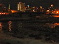
8.50 miles - Brief glimpse of Sloans Lake. Pretty.
10.57 miles - Fox! A big silver fox! Crossed its path as I was leaving the street just past the Aquarium and getting on the South Platte River trail. It was skittering away or acting especially frightened, so I stopped to try to get a picture. I said hello to it in a friendly type manner, in answer to which it turned around and started trotting towards me. This frightened me, so I abandoned the attempt at taking a picture and instead pedaled quickly away.
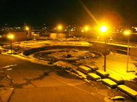
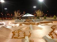
11.22 miles - Skate park. Every time I've ever passed the park before now, it had been full of skaters. This time it was empty! I rolled around here for a little while before continuing.
11.88 miles - Coors Field. No Rockies game tonight, so no extra traffic to deal with.
12.79 miles - End at Benedict Fountain Park. Good trip!
- Pictures
Chrisman earned the Tron achievement
|
Chrisman earned the Land geohash achievement
|
Chrisman earned the Bicycle geohash achievement
|
Chrisman earned the Snowman Geohash Achievement
|
Chrisman earned the No Batteries Geohash Achievement
|
