Difference between revisions of "2008-05-22 44 -93"
From Geohashing
imported>Polysylabic Pseudonym (Categorising.) |
imported>FippeBot m (Location) |
||
| (2 intermediate revisions by 2 users not shown) | |||
| Line 20: | Line 20: | ||
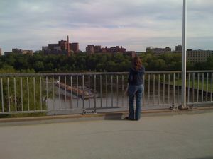
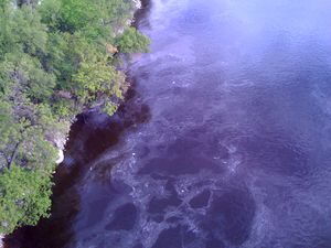
[[Image:2008-05-22 44 -93 Picture 3.JPG|thumb|300 px|[[User:Springbok|Abi]] takes photos of the river]] | [[Image:2008-05-22 44 -93 Picture 3.JPG|thumb|300 px|[[User:Springbok|Abi]] takes photos of the river]] | ||
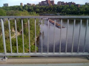
[[Image:2008-05-22 44 -93 Picture 4.JPG|thumb|300 px|Capturing the point itself, pictured at center, in the river]] | [[Image:2008-05-22 44 -93 Picture 4.JPG|thumb|300 px|Capturing the point itself, pictured at center, in the river]] | ||
| + | |||
| + | [[Category:Expeditions]] | ||
[[Category:Expeditions with photos]] | [[Category:Expeditions with photos]] | ||
| − | [[Category: | + | [[Category:Coordinates not reached]] |
| + | [[Category:Not reached - Mother Nature]] | ||
| + | <!-- estimate geohashers were approximately 100 feet from the coordinates --> | ||
| + | {{location|US|MN|HE}} | ||
Latest revision as of 12:57, 28 July 2019
| Thu 22 May 2008 in 44,-93: 44.9728743, -93.2386965 geohashing.info google osm bing/os kml crox |
This meetup was accomplished at 6 PM local time. Attending were Chris and Abi.
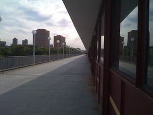
- 2008-05-22: 44.972874°, -93.238697° - On the East Bank of the UMN Campus on the Washington Ave Bridge (about 4m or 1.5 miles by car from Minneapolis, MN)

Abi takes photos of the river


