Difference between revisions of "2011-06-12 45 7"
From Geohashing
imported>Crox (→Photos) |
imported>FippeBot m (Location) |
||
| (2 intermediate revisions by one other user not shown) | |||
| Line 7: | Line 7: | ||
__NOTOC__ | __NOTOC__ | ||
== Location == | == Location == | ||
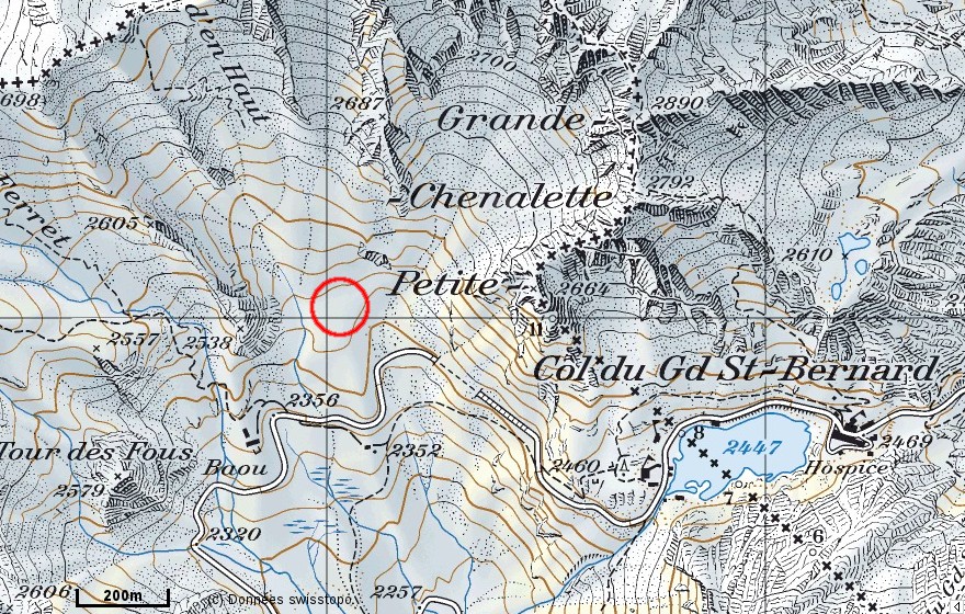
| − | Italian side of [[wikipedia:Great St Bernard Pass|Great St Bernard Pass]], about 2500 m above sea level | + | Italian side of [[wikipedia:Great St Bernard Pass|Great St Bernard Pass]], about 2500 m above sea level. |
[http://map.geo.admin.ch/?Y=578032.2512016&X=80023.689540873&zoom=8&bgLayer=ch.swisstopo.pixelkarte-farbe&lang=fr map.geo.admin.ch] [http://www.openstreetmap.org/index.html?mlat=45.871479&mlon=7.155768 OSM] | [http://map.geo.admin.ch/?Y=578032.2512016&X=80023.689540873&zoom=8&bgLayer=ch.swisstopo.pixelkarte-farbe&lang=fr map.geo.admin.ch] [http://www.openstreetmap.org/index.html?mlat=45.871479&mlon=7.155768 OSM] | ||
| + | |||
| + | [[File:2011-06-12_45_7_map.jpg]] | ||
== Participants == | == Participants == | ||
*[[user:crox|Crox]] | *[[user:crox|Crox]] | ||
*[[user:elisa|Elisa]] | *[[user:elisa|Elisa]] | ||
| − | |||
== Plans == | == Plans == | ||
| − | + | Change trains in Martigny and Sembrancher, take the bus in Orsières, arrive to Grand-St-Bernard at 12:50. Walk to the hash. Same way back, bus leaving at 16:20. | |
| − | |||
| − | |||
| − | |||
| − | |||
| − | |||
| − | |||
| − | |||
| − | |||
| − | |||
| − | |||
| − | |||
| − | |||
| − | |||
| − | |||
| − | |||
| − | |||
| − | |||
| − | |||
| − | |||
| − | |||
| − | |||
| − | |||
=== visit === | === visit === | ||
| Line 46: | Line 25: | ||
== Expedition == | == Expedition == | ||
| + | Everything went according to plan, and we both enjoyed the day, as can be seen from the pictures. | ||
| + | |||
| + | We had a very good (and reasonably priced) coffee resp. ice cream at the hotel on the Italian side, then we visited the museum at the hospice before taking the bus back. | ||
== Photos == | == Photos == | ||
| Line 52: | Line 34: | ||
{{#vardefine:gaHeight|230}} | {{#vardefine:gaHeight|230}} | ||
{{Gallery2| | {{Gallery2| | ||
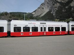
| − | {{GalleryItem | File:2011-06-12_45_7_01-train-IMG_1004.JPG | | + | {{GalleryItem | File:2011-06-12_45_7_01-train-IMG_1004.JPG | Train in Sembrancher }} |
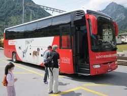
| − | {{GalleryItem | File:2011-06-12_45_7_02-bus-IMG_1005.JPG | | + | {{GalleryItem | File:2011-06-12_45_7_02-bus-IMG_1005.JPG | Bus in Orsières }} |
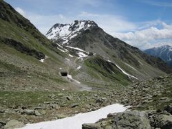
| − | {{GalleryItem | File:2011-06-12_45_7_03-road-IMG_1011.JPG | | + | {{GalleryItem | File:2011-06-12_45_7_03-road-IMG_1011.JPG | Scenic road up to the pass }} |
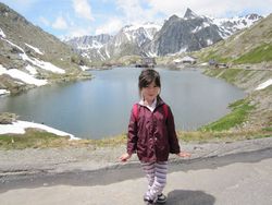
| − | {{GalleryItem | File:2011-06-12_45_7_04-elisa-lake-IMG_1012.JPG | | + | {{GalleryItem | File:2011-06-12_45_7_04-elisa-lake-IMG_1012.JPG | Elisa about to start from where the bus left us }} |
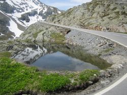
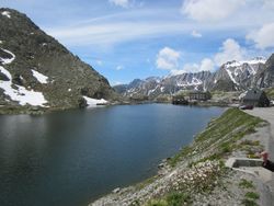
| − | {{GalleryItem | File:2011-06-12_45_7_05-lake-IMG_1013.JPG | | + | {{GalleryItem | File:2011-06-12_45_7_05-lake-IMG_1013.JPG | Lake at the pass }} |
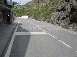
| − | {{GalleryItem | File:2011-06-12_45_7_06-stop-IMG_1015.JPG | | + | {{GalleryItem | File:2011-06-12_45_7_06-stop-IMG_1015.JPG | Swiss side of the border }} |
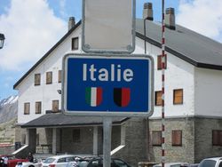
| − | {{GalleryItem | File:2011-06-12_45_7_07-italy-sign-IMG_1016.JPG | | + | {{GalleryItem | File:2011-06-12_45_7_07-italy-sign-IMG_1016.JPG | Our first hash in Italy! }} |
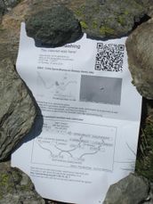
| − | {{GalleryItem | File:2011-06-12_45_7_08-border-IMG_1017.JPG | | + | {{GalleryItem | File:2011-06-12_45_7_08-border-IMG_1017.JPG | Border geohash }} |
| − | {{GalleryItem | File:2011-06-12_45_7_09-view-IMG_1023.JPG | | + | {{GalleryItem | File:2011-06-12_45_7_09-view-IMG_1023.JPG | On the other side of the pass, way down towards Aosta }} |
| − | {{GalleryItem | File:2011-06-12_45_7_10-towards-hash-IMG_1025.JPG | | + | {{GalleryItem | File:2011-06-12_45_7_10-towards-hash-IMG_1025.JPG | View towards our goal (The hashpoint is in the center of the picture.) }} |
| − | {{GalleryItem | File:2011-06-12_45_7_11-snow-IMG_1028.JPG | | + | {{GalleryItem | File:2011-06-12_45_7_11-snow-IMG_1028.JPG | We had to walk in the snow }} |
| − | {{GalleryItem | File:2011-06-12_45_7_12-getting-closer-IMG_1031.JPG | | + | {{GalleryItem | File:2011-06-12_45_7_12-getting-closer-IMG_1031.JPG | Getting closer... }} |
| − | {{GalleryItem | File:2011-06-12_45_7_13-water-IMG_1035.JPG | | + | {{GalleryItem | File:2011-06-12_45_7_13-water-IMG_1035.JPG | Only a few meters left, the melting snow was producing wide streams to cross. }} |
| − | {{GalleryItem | File:2011-06-12_45_7_14-reached1-IMG_1044.JPG | | + | {{GalleryItem | File:2011-06-12_45_7_14-reached1-IMG_1044.JPG | Coordinates reached! }} |
| − | {{GalleryItem | File:2011-06-12_45_7_15-reached2-IMG_1045.JPG | | + | {{GalleryItem | File:2011-06-12_45_7_15-reached2-IMG_1045.JPG | ... }} |
| − | {{GalleryItem | File:2011-06-12_45_7_16-marker-IMG_1050.JPG | | + | {{GalleryItem | File:2011-06-12_45_7_16-marker-IMG_1050.JPG | We left a marker. }} |
| − | {{GalleryItem | File:2011-06-12_45_7_17-back-IMG_1048.JPG | | + | {{GalleryItem | File:2011-06-12_45_7_17-back-IMG_1048.JPG | Where we came from, as seen from the hash }} |
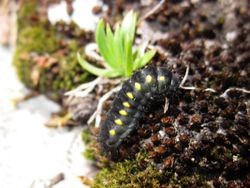
| − | {{GalleryItem | File:2011-06-12_45_7_18-fauna-IMG_1038.JPG | | + | {{GalleryItem | File:2011-06-12_45_7_18-fauna-IMG_1038.JPG | Fauna at the geohash - there were hundreds of those. }} |
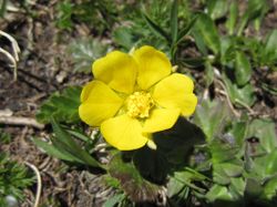
| − | {{GalleryItem | File:2011-06-12_45_7_18-flora1-IMG_1053.JPG | | + | {{GalleryItem | File:2011-06-12_45_7_18-flora1-IMG_1053.JPG | Flora }} |
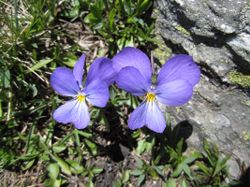
| − | {{GalleryItem | File:2011-06-12_45_7_18-flora2-IMG_1054.JPG | | + | {{GalleryItem | File:2011-06-12_45_7_18-flora2-IMG_1054.JPG | Flora (2) }} |
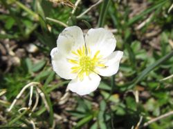
| − | {{GalleryItem | File:2011-06-12_45_7_18-flora3-IMG_1055.JPG | | + | {{GalleryItem | File:2011-06-12_45_7_18-flora3-IMG_1055.JPG | Flora (3) }} |
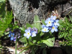
| − | {{GalleryItem | File:2011-06-12_45_7_18-flora4-IMG_1058.JPG | | + | {{GalleryItem | File:2011-06-12_45_7_18-flora4-IMG_1058.JPG | Flora (4) }} |
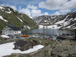
| − | {{GalleryItem | File:2011-06-12_45_7_19-hospice-IMG_1061.JPG | | + | {{GalleryItem | File:2011-06-12_45_7_19-hospice-IMG_1061.JPG | Pass seen from the Italian side, with the hospice in the background }} |
| − | {{GalleryItem | File:2011-06-12_45_7_20-cars1-IMG_1019.JPG | | + | {{GalleryItem | File:2011-06-12_45_7_20-cars1-IMG_1019.JPG | We encountered a car race. }} |
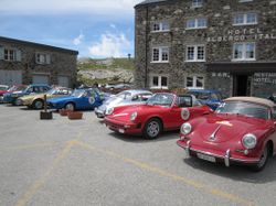
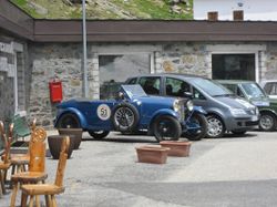
| − | {{GalleryItem | File:2011-06-12_45_7_20-cars2-IMG_1020.JPG | | + | {{GalleryItem | File:2011-06-12_45_7_20-cars2-IMG_1020.JPG | [http://bit.ly/iulq44 XXVIII Aosta - Gran San Bernardo] }} |
}} | }} | ||
== Achievements == | == Achievements == | ||
| + | {{Border geohash achievement | latitude = 45 | longitude = 7 | date = 2011-06-12 | country1= Swiss | country2= Italian | name = Crox and Elisa | image = 2011-06-12_45_7_07-italy-sign-IMG_1016.JPG }} | ||
[[Category:Expeditions]] | [[Category:Expeditions]] | ||
| + | [[Category:Expeditions with photos]] | ||
[[Category:Coordinates reached]] | [[Category:Coordinates reached]] | ||
| + | {{location|IT|AO}} | ||
Latest revision as of 04:06, 6 August 2019
| Sun 12 Jun 2011 in 45,7: 45.8714787, 7.1557682 geohashing.info google osm bing/os kml crox |
Location
Italian side of Great St Bernard Pass, about 2500 m above sea level.
Participants
Plans
Change trains in Martigny and Sembrancher, take the bus in Orsières, arrive to Grand-St-Bernard at 12:50. Walk to the hash. Same way back, bus leaving at 16:20.
visit
Great St Bernard Hospice, museum and Via Francigena temporary exhibition
Expedition
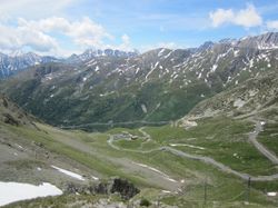
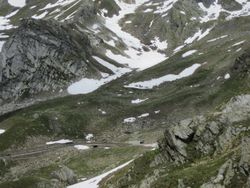
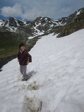
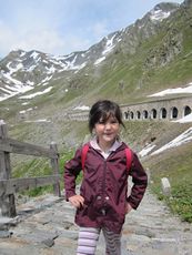
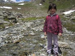
Everything went according to plan, and we both enjoyed the day, as can be seen from the pictures.
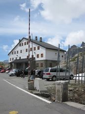
We had a very good (and reasonably priced) coffee resp. ice cream at the hotel on the Italian side, then we visited the museum at the hospice before taking the bus back.
Photos
|
Achievements
Crox and Elisa earned the Border geohash achievement
|
