Difference between revisions of "2011-07-21 59 18"
From Geohashing
imported>Per S |
imported>FippeBot m (Location) |
||
| (One intermediate revision by one other user not shown) | |||
| Line 30: | Line 30: | ||
== Photos == | == Photos == | ||
<gallery widths=117px perrow="5"> | <gallery widths=117px perrow="5"> | ||
| − | Image:2011-07-21 59 18 1 Todays Citation.jpg | | + | Image:2011-07-21 59 18 1 Todays Citation.jpg | Today's [[Citation Needed|citation]] |
Image:2011-07-21 59 18 2 Road Sign.jpg | Road sign | Image:2011-07-21 59 18 2 Road Sign.jpg | Road sign | ||
Image:2011-07-21 59 18 3 The Road.jpg | The road | Image:2011-07-21 59 18 3 The Road.jpg | The road | ||
| Line 52: | Line 52: | ||
[[Category: Expeditions with photos]] | [[Category: Expeditions with photos]] | ||
[[Category: Coordinates reached]] | [[Category: Coordinates reached]] | ||
| + | {{location|SE|AB}} | ||
Latest revision as of 00:12, 13 August 2019

|
| ||||||
Location
Close to the road at Båtkroksvägen 5, Stavsnäs, Sweden
Participants
- Per S
- barngroda80
Plans
To drive to this hashpoint early in the day, so that there is time to also make it to the Uppsala, Sweden hashpoint later.
Expedition
We started out at about 10 a.m. and drove out to the Hashpoint. It was about 20 miles. The haspoint was visible from the road and accessible by foot. It was right next to a house/cabin, but outside the property.
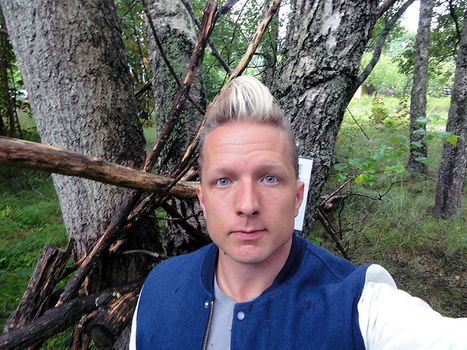
Photos
Today's citation
Achievements
Per S earned the Drag-along achievement
|


