imported>FippeBot |
|
| Line 46: |
Line 46: |
| | | | |
| | == Achievements == | | == Achievements == |
| − | {{Virgin graticule | latitude = 56 | longitude = -3 | date = 2011-08-29 | name = [[User:Manu|Manu]], [[User:Reinhard|Reinhard]] and the sheep }} | + | {{Graticule unlocked | latitude = 56 | longitude = -3 | date = 2011-08-29 | name = [[User:Manu|Manu]], [[User:Reinhard|Reinhard]] and the sheep }} |
| | | | |
| | | | |
Latest revision as of 05:50, 20 March 2024
Location
At a scenic, heather-clad hill in the Scottish Highlands.
Participants
Expedition
We'll report later, but there was definitely no better way to deflower this beautiful graticule.
Later:
Yes, we made it back to Germany. But let's start from where we stopped lately. After a quick sightseeing trip through rainy Edinburgh on August, 28th, we headed on to Perth, where we found a B&B to spend the night. From there we drove directly to Spittal of Glenshee, enjoying the beautiful nature, and drove even two or three km further into the hash valley, so we wouldn't have to walk too far.
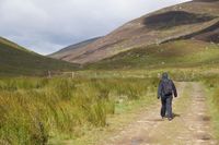
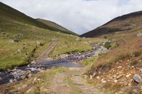
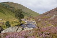
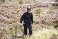
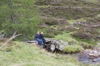
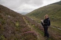
We parked the car, where the road ended at some houses, and walked our way between heather and grass on the right side of the small river. Soon our way crossed the river, but there was no bridge and we knew, that the hashpoint would be on the right side of the river, too, so we decided to stay there and leave the path instead of walking through water at least once. What we didn't know right away was, that there was a lot of water beside the river and it sometimes was impossible not to step into small puddles. This was especially bad as Manu did not decide to wear her water-proof(ier) shoes and it didn't take long until her feet got wet. Walking through the heather also wasn't always straight foward, so meters felt like tens of meters and you might guess what kilometers thus felt like. Anyway, somehow we got to the point, where our former path crossed the river again (and still without seeing any reason to do this by means of a bridge) and we got as close as some hundred meters to the hashpoint, where the end of the valley was reached. Consequently, we got back into the heather and reached the hashpoint within mist and wind. From our higher point of view, Manu recognized a small path some meters above the way we took and using this our way back was much easier and more comfortable.
When we got back to our car after 7.6 km, one of the surrounding houses' inhabitants came straight towards us and asked us with an angry tone, whether we could speak English and read written English (we said "we think so, at least a bit") and that there was a sign one mile down the road not to park behind it without special permission. We affirmed not to have seen any sign like that, but couldn't make him happy with that excuse and jumped quickly into the car and drove back to Spittal of Glenshee, after the man also told us that people like us (not obeying the rules) are not wanted there. On the way back, we actually found the small signpost hidden in the bushes, but still felt innocent for not reading a sign you would have to search for.
In Spittal of Glenshee, Reinhard assembled his bike and started a 130 km trip over 5 of the 8 highest roads in Scotland, while Manu was escorting him by car. After sunset, we arrived at the campground at Loch Morlich.
Photos
| No, we sticked to the right side.
|
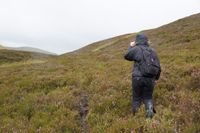
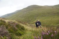
| And stalked through heather.
|
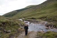
| Good thing, we were already on the right side.
|
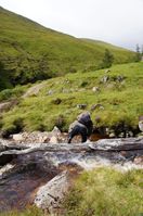
| Just crossing a smaller branch.
|
| Getting closer to the hash.
|
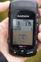
| There we are at the hash.
|
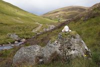
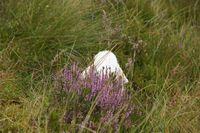
| And there the sheep hides.
|
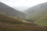
| Found this better path for the way back.
|
|
Achievements
