Difference between revisions of "2011-11-13 50 10"
From Geohashing
imported>Reinhard m (→Photos) |
imported>FippeBot m (Location) |
||
| Line 24: | Line 24: | ||
[[Category:Expeditions with photos]] | [[Category:Expeditions with photos]] | ||
[[Category:Coordinates reached]] | [[Category:Coordinates reached]] | ||
| + | {{location|DE|TH|HBN}} | ||
Latest revision as of 01:31, 13 August 2019
| Sun 13 Nov 2011 in 50,10: 50.4990202, 10.5873619 geohashing.info google osm bing/os kml crox |
Location
In a forest near Themar and Wachenbrunn (Thuringia).
Participants
Expedition
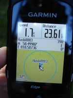
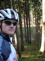
Reinhard had his bike in Schleusingerneundorf. After a longer trip the day before, the 50 km hash trip was a good thing for regeneration. Temperature was around freezing point. A gravel path lead from Wachenbrunn close (50 m) to the hashpoint. The rest was done by climbing a slope through thicket and trees. Reinhard made the mistake to look for a different way out of the forest though the way in wasn't too bad, and thereby got onto worse tracks with mud which was (luckily) partly frozen.
Photos
|

