Difference between revisions of "2008-05-24 52 6"
From Geohashing
imported>Evo-- |
imported>FippeBot m (Location) |
||
| (One intermediate revision by one other user not shown) | |||
| Line 26: | Line 26: | ||
Image:20080524 52 6 treecloseup.jpg|Closeup of the tree | Image:20080524 52 6 treecloseup.jpg|Closeup of the tree | ||
</gallery> | </gallery> | ||
| + | |||
| + | [[Category:Expeditions]] | ||
| + | [[Category:Expeditions with photos]] | ||
| + | [[Category:Coordinates reached]] | ||
| + | {{location|NL|GE}} | ||
Latest revision as of 04:13, 7 August 2019
| Sat 24 May 2008 in 52,6: 52.1266480, 6.5475331 geohashing.info google osm bing/os kml crox |
People that got there:
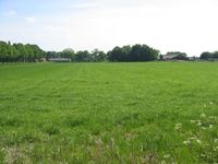
The accessroad was closed down, so we had to stop the car about 600m away from the meetingpoint. The meetingpoint was located on some farmland near a small road. Next to it were some trees. The GPS signal was a bit off, but we think we got close enough. There were some problem photographing Evo--'s mobile phone for the GPS-proof, so it's a bit off (needed some shadow :)).
Michael and Evo-- tried to take Twister with them, but couldn't find it, so instead they played some rock,paper,scissors.
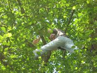
M.qrius climbed a tree for the Going Up achievement.
- Pictures, click for more details.
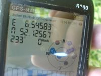
GPS device
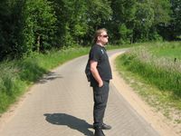
Evo--
Michael

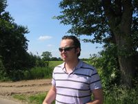
M.qrius
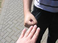
Rock, Paper, Scissors
M.qrius in a tree
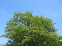
Closeup of the tree


