Difference between revisions of "2012-08-12 30 -81"
imported>DrCanadianNinja (Created page with "{{Advert}} {{meetup graticule | map=<map lat="30" lon="-81" date="2012-08-12" /> | lat=30 | lon=-81 | date=2012-08-12 | graticule_name=Jacksonville, Florida | graticule_link=Jac...") |
m |
||
| (3 intermediate revisions by 2 users not shown) | |||
| Line 15: | Line 15: | ||
=== The Geohashers === | === The Geohashers === | ||
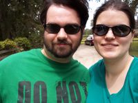
| − | * [[user: | + | * [[user:Geoffistopheles|Geoff]] |
* [[user:NinjaBait|Erica]] | * [[user:NinjaBait|Erica]] | ||
| Line 32: | Line 32: | ||
Image:2012-08-12_30_-81_Directions.JPG| | Image:2012-08-12_30_-81_Directions.JPG| | ||
Image:2012-08-12_30_-81_DiamondRanch.JPG| | Image:2012-08-12_30_-81_DiamondRanch.JPG| | ||
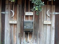
| − | Image:2012-08-12_30_- | + | Image:2012-08-12_30_-81_Restroom.JPG|Ahh, novelty outhouses. |
Image:2012-08-12_30_-81_DiamondRanchRent.JPG| | Image:2012-08-12_30_-81_DiamondRanchRent.JPG| | ||
Image:2012-08-12_30_-81_DiamondRanchStable.JPG| | Image:2012-08-12_30_-81_DiamondRanchStable.JPG| | ||
| Line 40: | Line 40: | ||
Image:2012-08-12_30_-81_Success.JPG| | Image:2012-08-12_30_-81_Success.JPG| | ||
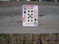
Image:2012-08-12_30_-81_Marker.JPG|9♣ | Image:2012-08-12_30_-81_Marker.JPG|9♣ | ||
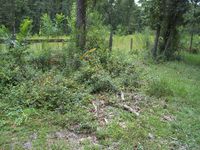
| − | Image:2012-08-12_30_-81_Geohash.JPG|The hash | + | Image:2012-08-12_30_-81_Geohash.JPG|The hash is on the right side of this picture. |
Image:2012-08-12_30_-81_Quail.JPG|Quail Enhancement sounds like mad science. | Image:2012-08-12_30_-81_Quail.JPG|Quail Enhancement sounds like mad science. | ||
Image:2012-08-12_30_-81_HorsePond.JPG| | Image:2012-08-12_30_-81_HorsePond.JPG| | ||
| Line 56: | Line 56: | ||
[[Category:Expeditions with photos]] | [[Category:Expeditions with photos]] | ||
[[Category:Coordinates reached]] | [[Category:Coordinates reached]] | ||
| + | {{location|US|FL|DU}} | ||
Latest revision as of 17:00, 24 March 2021
| Have you seen our geohashing marker? We'd love to hear from you! Click here to say "hi" and tell us what you've seen!
Curious about what geohashing is? Read more! |
| Sun 12 Aug 2012 in Jacksonville, Florida: 30.1868606, -81.9329124 geohashing.info google osm bing/os kml crox |
Expedition
The Plan
Just off a rural road off Normandy Boulevard. Street view looks like a private road, but not a gated off one. That's a first. Erica's a bit sick, so we'll see whether or not she comes.
The Geohashers
The Adventure
With Erica being sick, I was just about to write this one off. Fortunately, she was feeling better so we went anyway. As usual, as soon as we got onto I-95, we got flooded with rain. While I have yet to get a Drowned Rat achievement, I don't plan on opening the windows to get one. Thankfully, it didn't last long, so our drive continued as expected.
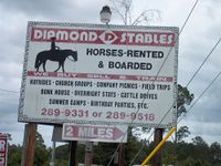
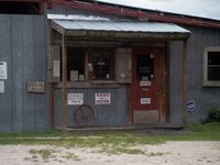
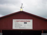
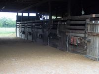
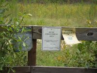
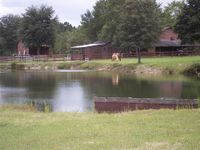
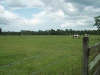
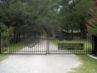
The rest of the ride was uneventful, save for a sign that simply said "SHEEP NOT FOR SALE," despite the fact I didn't see any sheep at all. It was only when we got there that we realized it wasn't just a rural area out in nowhere, but a ranch, and one that rents horse rides as well. I'd be on board despite my allergies, but they were closed on Sunday.
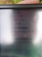
We continued on down the road and pulled over when we reached a bend in the road. As usual, our GPS was being finnicky, but we eventually got something in the area. We utilized our favorite new staple gun in putting the Nine of Clubs into a nearby fence. My attempts for progress towards a reverse regional at the county level were foiled - ten steps south would've been a new county. Oh well.
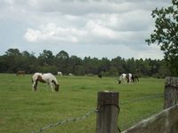
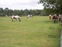
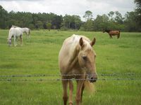
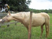
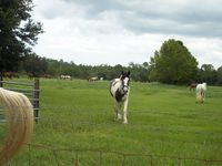
On the way out, we decided to take all our pictures. Our presence and pictures and occasional coughing caught the attention of a few horses. Two came over for pictures and petting, although for the most part not at the same time. They quickly lost interest when they realized we didn't have snacks, but we got the pictures we wanted. Hooray for fooling animals!
Gallery
- Photo Gallery
