Difference between revisions of "2008-05-24 35 -120"
From Geohashing
imported>Bigbadbyte |
m |
||
| (8 intermediate revisions by 7 users not shown) | |||
| Line 1: | Line 1: | ||
{{meetup graticule | {{meetup graticule | ||
| map=<map lat="35" lon="-120" date="2008-05-24" /> | | map=<map lat="35" lon="-120" date="2008-05-24" /> | ||
| − | | lat= | + | | lat=35 |
| lon=-120 | | lon=-120 | ||
| date=2008-05-24 | | date=2008-05-24 | ||
}} | }} | ||
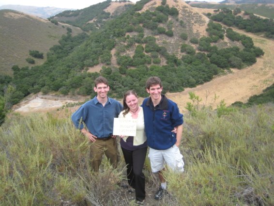
| − | We did it. | + | We ([[User:Bigbadbyte|Bigbadbyte]] + associates) did it. |
[[Image:SLO52408-1.jpg|bigbadbyte + associates at the Geohash]] | [[Image:SLO52408-1.jpg|bigbadbyte + associates at the Geohash]] | ||
| + | |||
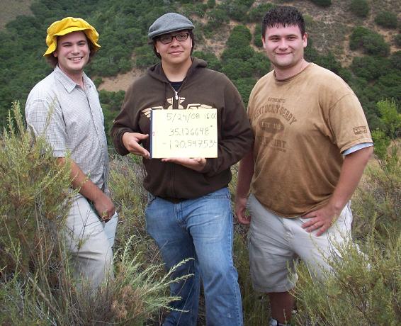
| + | The [http://www.flickr.com/photos/ramblingrovers/sets/72157605237446943/ story in pictures] from the other half of the meetup crew. | ||
| + | [[Image:35,-120 20080524.JPG]] | ||
| + | |||
| + | [[Category:Expeditions]] | ||
| + | [[Category:Expeditions with photos]] | ||
| + | [[Category:Coordinates reached]] | ||
| + | {{location|US|CA|SS}} | ||
Latest revision as of 23:24, 18 March 2022
| Sat 24 May 2008 in 35,-120: 35.1266480, -120.5475331 geohashing.info google osm bing/os kml crox |
We (Bigbadbyte + associates) did it.
The story in pictures from the other half of the meetup crew.

