Difference between revisions of "2013-08-17 50 11"
imported>Jens m (→Expedition) |
imported>FippeBot m (Location) |
||
| Line 35: | Line 35: | ||
[[Category:Expeditions with photos]] | [[Category:Expeditions with photos]] | ||
[[Category:Coordinates reached]] | [[Category:Coordinates reached]] | ||
| + | {{location|DE|TH|SHK}} | ||
Latest revision as of 03:38, 14 August 2019
| Sat 17 Aug 2013 in 50,11: 50.9922070, 11.6898030 geohashing.info google osm bing/os kml crox |
Location
Tautenburg forest
Participants
- Jens and Räbe
Expedition
This report may become boring. Nothing special happened, everything was normal. Starting with one of the normal prolog options on the day before when Juja said: "You are the only one who has time to go there. Have fun!".
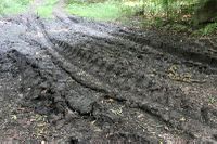
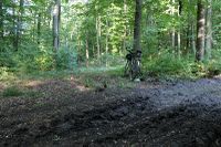
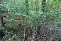
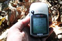
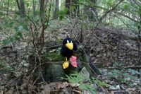
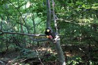
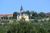
So I started after breakfast with a short stop for a final plant-sitting session before leaving Jena. Then I drove on the normal way to Golmsdorf and climbed up the normal path from Golmsdorf in Tautenburg direction. When approaching to the target, the paths became smaller and smaller and finally were fading out – very normal. The point was hidden between some brushwood, no area for a Sunday afternoon walk but on the other hand not to difficult to handle, some kind of normal forest.
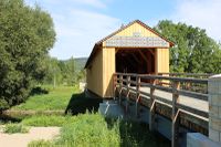
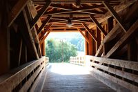
I took the normal pictures and started on my way back, where I left the normal way in Kunitz to have a look at a newly rebuild house bridge. The whether was fine all the time, so nevertheless it was a nice normal Saturday morning tour.
Photos
|
