Difference between revisions of "2013-08-28 51 4"
imported>DeFre (→Photos) |
imported>FippeBot m (Location) |
||
| (3 intermediate revisions by 3 users not shown) | |||
| Line 18: | Line 18: | ||
== Expedition == | == Expedition == | ||
| + | My motorbike started (so that was quite a good start). I left Antwerp, avoided some deviations and taking a somewhat more scenic route: the geohash is not too far from a canal and I got to ride alongside said canal. (see photos) I hadn't completely planned the route as it is in an area which I somewhat know. Of course this meant I didn't take the right turn in the end so I passed the geohash at first. Took out my phone, drove back a bit and quickly found the right ditch. | ||
| + | |||
| + | As the exact location was in an open field I decided I'd just walk in. After about 10 minutes (I was still pacing around to find the exact coordinates) a car parked right next to my bike. "Any problems?" The farmer was wondering what I was doing on his land, but i quickly pulled out my geohashing poster of the day and explained I was playing a game. | ||
| + | |||
| + | "Oh, a game? Then do continue." Was about everything he said, apart from the remark that the little map on the poster looks really convenient and took off again. | ||
| + | |||
| + | I took a silly picture of myself and drove off to the village where I was born and raised. Before dropping by my parents I decided to visit a friend who is also a part time wine farmer to see if he had already bottled anyhting. He hadn't but had a brew which was ready to be bottled: elderberrywine. We bottled it together and I continued to my parents. Had a nice chat and then drove back. (as I practically passed my sister's house I stopped there as well to say hi) | ||
== Photos == | == Photos == | ||
| Line 24: | Line 31: | ||
== Achievements == | == Achievements == | ||
| − | + | [[Category:Expeditions]] | |
| − | [[Category: | + | [[Category:Expeditions with photos]] |
| + | [[Category:Coordinates reached]] | ||
| + | {{location|BE|VAN}} | ||
Latest revision as of 06:27, 6 August 2019
| Wed 28 Aug 2013 in 51,4: 51.3385872, 4.6231009 geohashing.info google osm bing/os kml crox |
Location
Almost in a ditch between two fields close to the highway, Ploegsdijk, Brecht, Belgium
Participants
Plans
Jump on my motorbike after work (jumpstarted it on Monday, should still work), find the ditch (ETA 17:40), take a picture, go see my parents.
Expedition
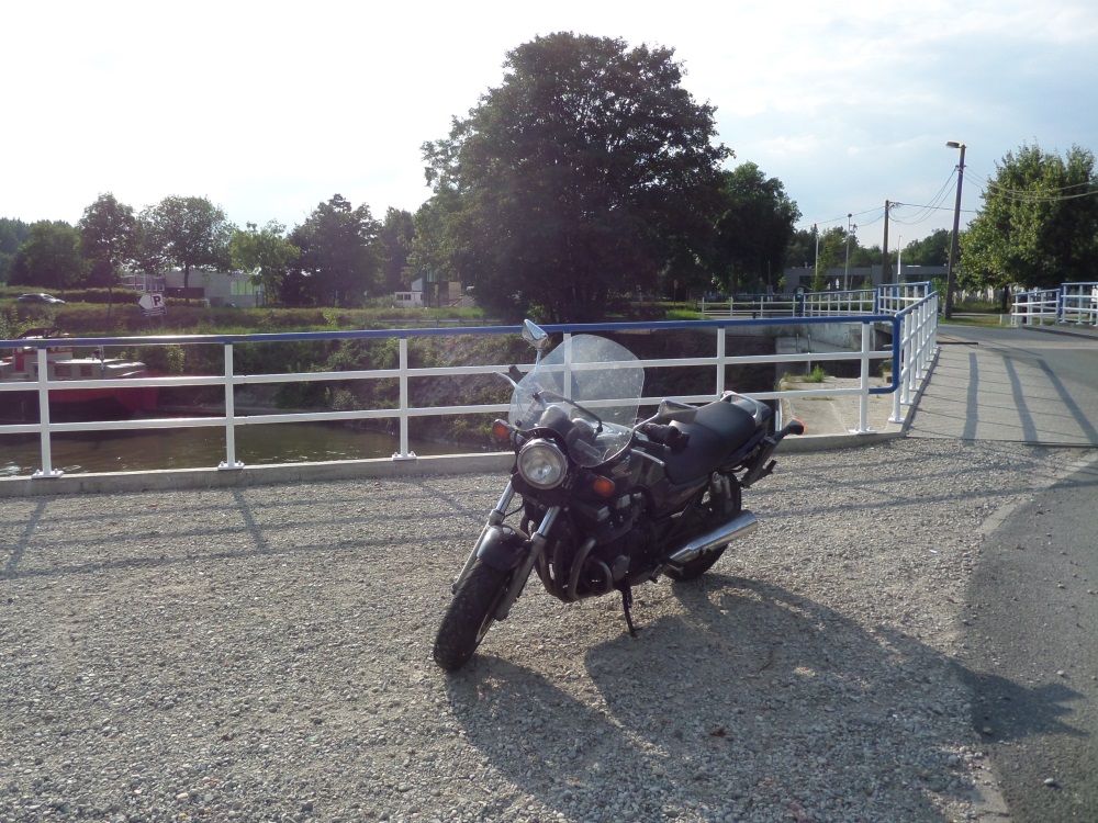
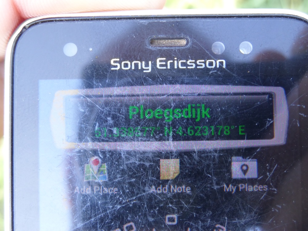
My motorbike started (so that was quite a good start). I left Antwerp, avoided some deviations and taking a somewhat more scenic route: the geohash is not too far from a canal and I got to ride alongside said canal. (see photos) I hadn't completely planned the route as it is in an area which I somewhat know. Of course this meant I didn't take the right turn in the end so I passed the geohash at first. Took out my phone, drove back a bit and quickly found the right ditch.
As the exact location was in an open field I decided I'd just walk in. After about 10 minutes (I was still pacing around to find the exact coordinates) a car parked right next to my bike. "Any problems?" The farmer was wondering what I was doing on his land, but i quickly pulled out my geohashing poster of the day and explained I was playing a game.
"Oh, a game? Then do continue." Was about everything he said, apart from the remark that the little map on the poster looks really convenient and took off again.
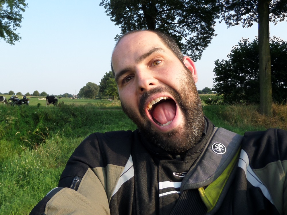
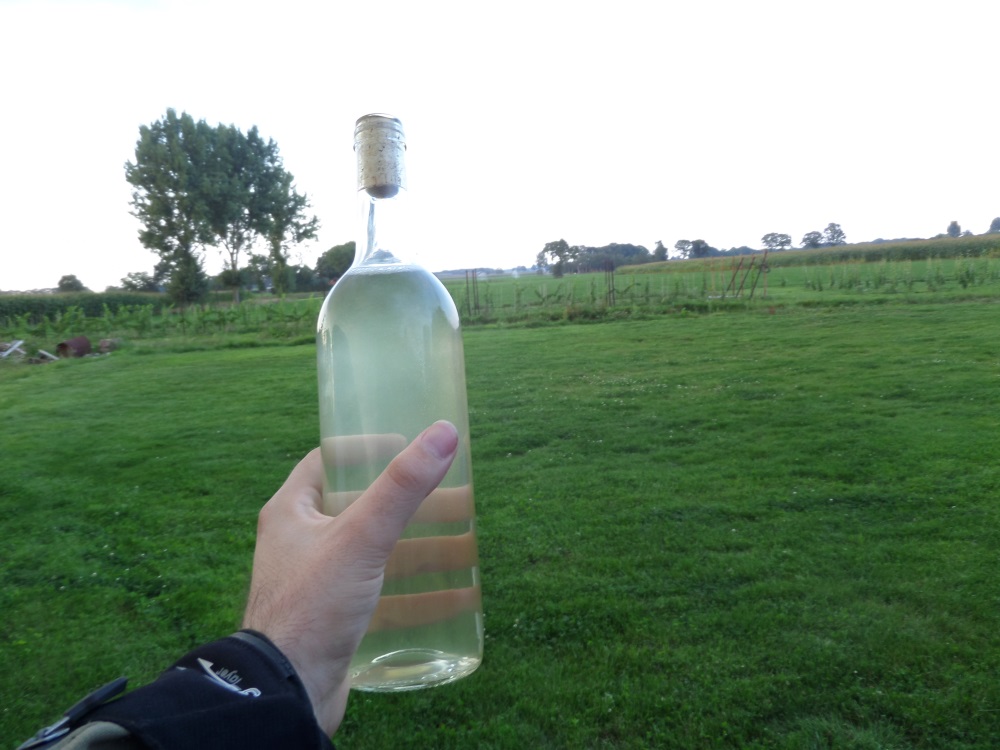
I took a silly picture of myself and drove off to the village where I was born and raised. Before dropping by my parents I decided to visit a friend who is also a part time wine farmer to see if he had already bottled anyhting. He hadn't but had a brew which was ready to be bottled: elderberrywine. We bottled it together and I continued to my parents. Had a nice chat and then drove back. (as I practically passed my sister's house I stopped there as well to say hi)


