Difference between revisions of "2014-01-05 51 9"
From Geohashing
imported>GeorgDerReisende (new expedition) |
imported>FippeBot m (Location) |
||
| (One intermediate revision by one other user not shown) | |||
| Line 1: | Line 1: | ||
| − | |||
| − | |||
| − | |||
| − | |||
| − | |||
| − | |||
| − | |||
| − | |||
| − | |||
| − | |||
{{meetup graticule | {{meetup graticule | ||
| lat=51 | | lat=51 | ||
| Line 18: | Line 8: | ||
__NOTOC__ | __NOTOC__ | ||
== Location == | == Location == | ||
| − | + | ||
| + | The hash lies at the edge of a field at the east of Espenau-Hohenkirchen. | ||
== Participants == | == Participants == | ||
| − | + | ||
| − | + | [[User:GeorgDerReisende|GeorgDerReisende]] | |
== Plans == | == Plans == | ||
| − | + | ||
| + | I wanted to take the tram to Vellmar-Nord and then I wanted to hitchhike to Hohenkirchen, then to walk to the hash. | ||
== Expedition == | == Expedition == | ||
| − | + | ||
| + | {| | ||
| + | |- | ||
| + | ! style="width:300px" | !! style="width:300px" | !! style="width:300px" | | ||
| + | |- | ||
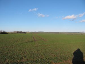
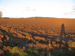
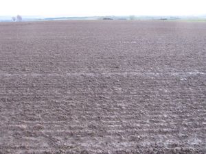
| + | | [[Image:2014-01-05 51 9 GeorgDerReisende 4908.jpg|300px]] || || I left home at 13:25, took the trams 1 and 3 to Vellmar-Nord. From there I wanted to hitchhike to Hohenkirchen, but no car stopped. Because of the sunny weather I decided to walk to the hash. I didn't walk along the country road, instead I tried the farmland ways. Here I am 3 kilometers away from the hash. | ||
| + | |- | ||
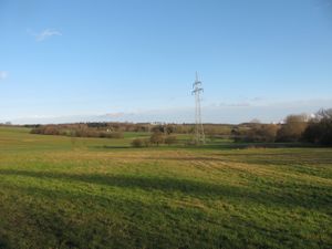
| + | | [[Image:2014-01-05 51 9 GeorgDerReisende 4915.jpg|300px]] || || The wonderful wintry weather around here. | ||
| + | |- | ||
| + | | [[Image:2014-01-05 51 9 GeorgDerReisende 4920.jpg|300px]] || [[Image:2014-01-05 51 9 GeorgDerReisende 4922.jpg|300px]] || [[Image:2014-01-05 51 9 GeorgDerReisende 4923.jpg|300px]] | ||
| + | |- | ||
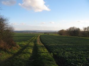
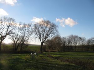
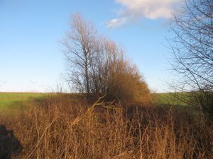
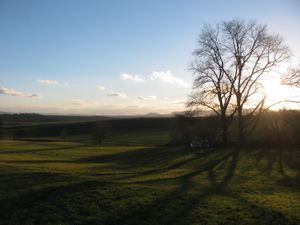
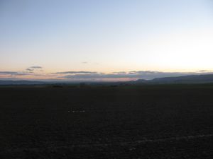
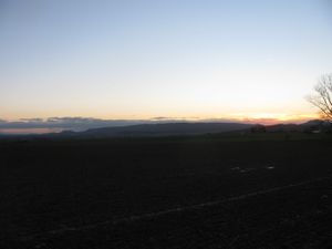
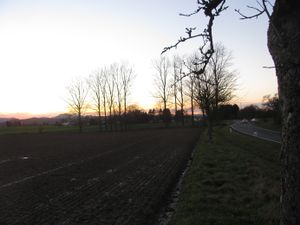
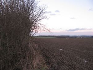
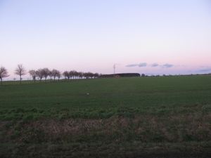
| + | | [[Image:2014-01-05 51 9 GeorgDerReisende 4924.jpg|300px]] || || Halfway to the hash I made a break and overwhelmed by the sight I have taken these photos. View to Kassel (the suoth), the way to which I was assigned (the north), the west and the east. | ||
| + | |- | ||
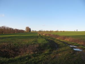
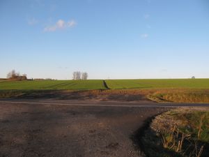
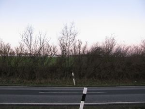
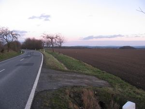
| + | | [[Image:2014-01-05 51 9 GeorgDerReisende 4927.jpg|300px]] || [[Image:2014-01-05 51 9 GeorgDerReisende 4929.jpg|300px]] || After arriving at a county road I had these views: to Kassel and to the hash. | ||
| + | |- | ||
| + | | [[Image:2014-01-05 51 9 GeorgDerReisende 4941.jpg|300px]] || || This is the lower side of the field, where the hash was on. I wondered, if the hash would be reachable. | ||
| + | |- | ||
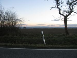
| + | | [[Image:2014-01-05 51 9 GeorgDerReisende 4949.jpg|300px]] || || 15 meters behind this stake there was the hash. Between the stake and the field was a roadside ditch with some muddy water in it, so I decided to walk to the entrance of the field and cross there the ditch. | ||
| + | |- | ||
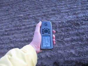
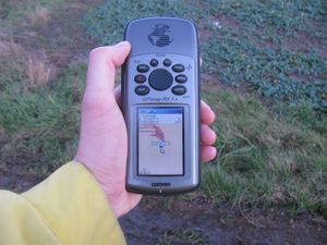
| + | | [[Image:2014-01-05 51 9 GeorgDerReisende 4959.jpg|300px]] || [[Image:2014-01-05 51 9 GeorgDerReisende 4971.jpg|300px]] || The seventh try of ten gave me the result, five meters away, coordinates reached. I didn't want to walk onto this muddy field, I had enough for today with the muddy fieldways. | ||
| + | |- | ||
| + | | [[Image:2014-01-05 51 9 GeorgDerReisende 4962.jpg|300px]] || || Here it is. | ||
| + | |- | ||
| + | | [[Image:2014-01-05 51 9 GeorgDerReisende 4964.jpg|300px]] View to the south || [[Image:2014-01-05 51 9 GeorgDerReisende 4965.jpg|300px]] View to the southwest || [[Image:2014-01-05 51 9 GeorgDerReisende 4966.jpg|300px]] View to the west | ||
| + | |- | ||
| + | | [[Image:2014-01-05 51 9 GeorgDerReisende 4967.jpg|300px]] View to the east || [[Image:2014-01-05 51 9 GeorgDerReisende 4968.jpg|300px]] View to the north || [[Image:2014-01-05 51 9 GeorgDerReisende 4969.jpg|300px]] A better view to the north, some meters away | ||
| + | |- | ||
| + | | [[Image:2014-01-05 51 9 GeorgDerReisende 4970.jpg|300px]] || || the situation | ||
| + | |- | ||
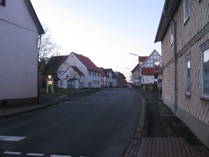
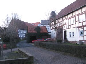
| + | | [[Image:2014-01-05 51 9 GeorgDerReisende 4977.jpg|300px]] || [[Image:2014-01-05 51 9 GeorgDerReisende 4981.jpg|300px]] || Hohenkirchen: the main street and a part of the old village | ||
| + | |} | ||
== Tracklog == | == Tracklog == | ||
<!-- if your GPS device keeps a log, you may post a link here --> | <!-- if your GPS device keeps a log, you may post a link here --> | ||
| − | |||
| − | |||
| − | |||
| − | |||
| − | |||
| − | |||
| − | |||
== Achievements == | == Achievements == | ||
| Line 44: | Line 59: | ||
<!-- Add any achievement ribbons you earned below, or remove this section --> | <!-- Add any achievement ribbons you earned below, or remove this section --> | ||
| + | {{land geohash | latitude = 51 | longitude = 9 | date = 2014-01-05 | name = GeorgDerReisende }} | ||
| − | + | [[Category:Expeditions]] | |
| − | |||
| − | [[Category: | ||
| − | + | [[Category:Expeditions with photos]] | |
| − | |||
| − | [[Category: | ||
| − | |||
| − | |||
| − | |||
| − | |||
| − | |||
| − | |||
| − | |||
| − | |||
| − | |||
| − | |||
[[Category:Coordinates reached]] | [[Category:Coordinates reached]] | ||
| − | + | {{location|DE|HE|KS}} | |
| − | |||
| − | |||
| − | |||
| − | |||
| − | |||
| − | |||
| − | |||
| − | |||
| − | |||
| − | |||
| − | |||
| − | |||
| − | |||
| − | |||
| − | |||
| − | |||
| − | |||
Latest revision as of 05:08, 14 August 2019
| Sun 5 Jan 2014 in 51,9: 51.4007173, 9.4881152 geohashing.info google osm bing/os kml crox |
Location
The hash lies at the edge of a field at the east of Espenau-Hohenkirchen.
Participants
Plans
I wanted to take the tram to Vellmar-Nord and then I wanted to hitchhike to Hohenkirchen, then to walk to the hash.
Expedition
Tracklog
Achievements
GeorgDerReisende earned the Land geohash achievement
|
