Difference between revisions of "2014-05-21 51 9"
From Geohashing
imported>GeorgDerReisende (new expedition to Witzenhausen-Gertenbach) |
imported>FippeBot m (Location) |
||
| (2 intermediate revisions by one other user not shown) | |||
| Line 9: | Line 9: | ||
== Location == | == Location == | ||
| − | The hash lies on a hill | + | The hash lies on a hill above Witzenhausen-Gertenbach. |
== Participants == | == Participants == | ||
| Line 20: | Line 20: | ||
== Expedition == | == Expedition == | ||
| − | |||
| − | == | + | {| |
| − | + | |- | |
| − | + | ! style="width:300px" | !! style="width:300px" | !! style="width:300px" | | |
| − | + | |- | |
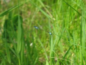
| − | + | | [[Image:2014-05-21 51 9 GeorgDerReisende 0794.jpg|300px]] || || I started at home at 10:30 and started to hitchhike at 11:30. After 20 minutes I got a car to Hedemünden and there the second car stopped and I got a lift to Freudenthal. I made this detour for some research in geocaches and shelters. While walking around I saw several dragonflies making love. But here I could take only a photo of a flying one. | |
| − | Image: | + | |- |
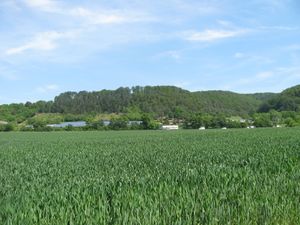
| − | -- | + | | [[Image:2014-05-21 51 9 GeorgDerReisende 0797.jpg|300px]] || || On this mountain lay the hash, not very far away, only 200 meters, upward. |
| − | + | |- | |
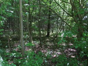
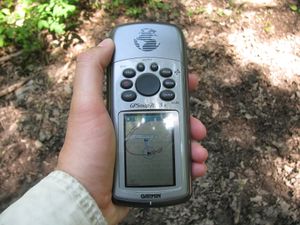
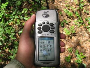
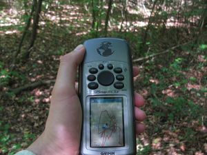
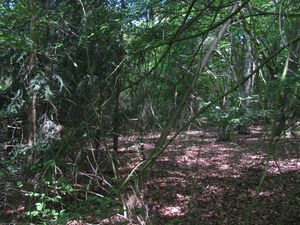
| − | + | | [[Image:2014-05-21 51 9 GeorgDerReisende 0818.jpg|300px]] || [[Image:2014-05-21 51 9 GeorgDerReisende 0823.jpg|300px]] || After walking up and down some forest ways I arrived at a crossroad with five ways leaving, my map showed only three. So I took one for a test and I found out, that this way led me not nearer to the hash than 54 meters. So I tried the next one to the right and this one led me 35 meters to the hash. | |
| + | |- | ||
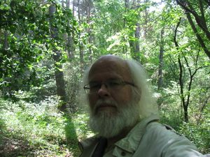
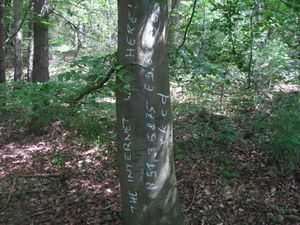
| + | | [[Image:2014-05-21 51 9 GeorgDerReisende 0827.jpg|300px]] || [[Image:2014-05-21 51 9 GeorgDerReisende 0834.jpg|300px]] || I stepped into the forest and after some dancing I found the hash. | ||
| + | |- | ||
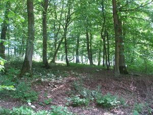
| + | | [[Image:2014-05-21 51 9 GeorgDerReisende 0833.jpg|300px]] The view around: to the west || [[Image:2014-05-21 51 9 GeorgDerReisende 0830.jpg|300px]] to the north || [[Image:2014-05-21 51 9 GeorgDerReisende 0831.jpg|300px]] to the east | ||
| + | |- | ||
| + | | [[Image:2014-05-21 51 9 GeorgDerReisende 0828.jpg|300px]] to the south || [[Image:2014-05-21 51 9 GeorgDerReisende 0835.jpg|300px]] to the mark | ||
| + | |- | ||
| + | | [[Image:2014-05-21 51 9 GeorgDerReisende 0839.jpg|300px]] || || Back on the upper way I could see over the hill to the end of the forest. | ||
| + | |- | ||
| + | | [[Image:2014-05-21 51 9 GeorgDerReisende 0846.jpg|300px]] || || After a longer walk I found this view to Albshausen. | ||
| + | |- | ||
| + | | [[Image:2014-05-21 51 9 GeorgDerReisende 0850.jpg|300px]] || [[Image:2014-05-21 51 9 GeorgDerReisende 0851.jpg|300px]] || At last I found a geocache. | ||
| + | |} | ||
== Achievements == | == Achievements == | ||
| Line 36: | Line 48: | ||
<!-- Add any achievement ribbons you earned below, or remove this section --> | <!-- Add any achievement ribbons you earned below, or remove this section --> | ||
| + | {{Thumbs Up | latitude = 51 | longitude = 9 | date = 2014-05-21 | name = GeorgDerReisende }} | ||
| − | + | {{Geohashing Day | latitude = 51 | longitude = 9 | year = 2014 | coorddate = 2014-05-21 | name = GeorgDerReisende }} | |
| − | |||
| − | |||
| − | + | {{Hash collision | latitude = 51 | longitude = 9 | date = 2014-05-21 | name = GeorgDerReisende | link = http://coord.info/GC4H3GG | id = GC4H3GG | distance = 0.97 km | honor = any non-empty value will do }} | |
| − | + | [[Category:Expeditions]] | |
| − | |||
| − | [[Category: | ||
| − | |||
| − | |||
| − | |||
| − | |||
[[Category:Expeditions with photos]] | [[Category:Expeditions with photos]] | ||
| − | + | ||
| − | |||
| − | |||
| − | |||
| − | |||
[[Category:Coordinates reached]] | [[Category:Coordinates reached]] | ||
| − | + | {{location|DE|HE|WIZ}} | |
| − | |||
| − | |||
| − | |||
| − | |||
| − | |||
| − | |||
| − | |||
| − | |||
| − | |||
| − | |||
| − | |||
| − | |||
| − | |||
| − | |||
| − | |||
| − | |||
| − | |||
Latest revision as of 06:36, 14 August 2019
| Wed 21 May 2014 in 51,9: 51.3687540, 9.8289638 geohashing.info google osm bing/os kml crox |
Location
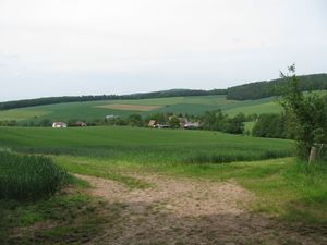
The hash lies on a hill above Witzenhausen-Gertenbach.
Participants
Plans
It's Geohashing Day! What else can I do?
Expedition
Achievements
GeorgDerReisende earned the Thumbs Up Geohash Achievement
|
GeorgDerReisende earned the 2014 Geohashing Day achievement
|
GeorgDerReisende earned the Hash collision honorable mention
|
